10:30pm TWO-Slow development... if at all

This is the general tropical discussion area. Anyone can take their shot at predicting a storms path.

Moderator: S2k Moderators

Forum rules

The posts in this forum are NOT official forecasts and should not be used as such. They are just the opinion of the poster and may or may not be backed by sound meteorological data. They are NOT endorsed by any professional institution or STORM2K. For official information, please refer to products from the National Hurricane Center and National Weather Service.

Help Support Storm2K
Message
Author
Brent
S2K Supporter
S2K Supporter
Posts: 38266
Age: 37
Joined: Sun May 16, 2004 10:30 pm
Location: Tulsa Oklahoma
Contact:

10:30pm TWO-Slow development... if at all

#1 Postby Brent » Mon Jun 06, 2005 9:47 pm

dhweather, your slipping. :wink: :P

TROPICAL WEATHER OUTLOOK
NWS TPC/NATIONAL HURRICANE CENTER MIAMI FL
1030 PM EDT MON JUN 6 2005

FOR THE NORTH ATLANTIC...CARIBBEAN SEA AND THE GULF OF MEXICO...

DISORGANIZED CLOUDINESS...SHOWERS...AND THUNDERSTORMS PERSIST OVER
THE EASTERN CARIBBEAN SEA AND THE ADJACENT LAND AREAS.
DEVELOPMENT...IF ANY...SHOULD BE SLOW TO OCCUR. THIS SYSTEM COULD
PRODUCE LOCALLY HEAVY RAINFALL OVER PORTIONS OF HISPANIOLA...PUERTO
RICO...AND THE LESSER ANTILLES.

ELSEWHERE...TROPICAL STORM FORMATION IS NOT EXPECTED THROUGH
WEDNESDAY.

FORECASTER PASCH
0 likes   
#neversummer

Anonymous

#2 Postby Anonymous » Mon Jun 06, 2005 9:53 pm

Also, if there is a decent chance of development, they usually put it on this map... There is Nada thus far---we shall see later!

Image
0 likes   

User avatar
HURAKAN
Professional-Met
Professional-Met
Posts: 46086
Age: 38
Joined: Thu May 20, 2004 4:34 pm
Location: Key West, FL
Contact:

#3 Postby HURAKAN » Mon Jun 06, 2005 9:56 pm

Not surprising, by the way, if you look at this loop, the ULL seems to be stationary at least for now.

http://www.goes.noaa.gov/GSSLOOPS/prwv.html
0 likes   

Anonymous

#4 Postby Anonymous » Mon Jun 06, 2005 10:10 pm

Wow--its not stationary, its moving back east :eek:

http://www.ssd.noaa.gov/PS/TROP/DATA/RT ... -loop.html
0 likes   

User avatar
HURAKAN
Professional-Met
Professional-Met
Posts: 46086
Age: 38
Joined: Thu May 20, 2004 4:34 pm
Location: Key West, FL
Contact:

#5 Postby HURAKAN » Mon Jun 06, 2005 10:15 pm

Jekyhe32210 wrote:Wow--its not stationary, its moving back east :eek:

http://www.ssd.noaa.gov/PS/TROP/DATA/RT ... -loop.html


Bad news for any possible development.
0 likes   

User avatar
gatorcane
S2K Supporter
S2K Supporter
Posts: 23703
Age: 47
Joined: Sun Mar 13, 2005 3:54 pm
Location: Boca Raton, FL

#6 Postby gatorcane » Mon Jun 06, 2005 10:17 pm

it does appear to be moving back east doesn't it...it's certainly not moving to the WNW as fast as it was yesterday...this will certainly seal the deal on no development here.
0 likes   

Anonymous

#7 Postby Anonymous » Mon Jun 06, 2005 10:32 pm

Not so fast!!! I am not 100% sure if I am looking at the right version of the 18z model, but if I am, the ULL fizzles out as it eventually moves soutward.... so erratic movement initially is not out of the question... see graphics below (300MB vorticity)...

Links to graphics..

ULL now over Hispanola
http://moe.met.fsu.edu/cgi-bin/gfstc2.c ... hour=000hr

ULL weakens rapidly in 24 hrs and is a little further south....
http://moe.met.fsu.edu/cgi-bin/gfstc2.c ... hour=024hr

36 hrs it is midway between Hispanola an South America...
http://moe.met.fsu.edu/cgi-bin/gfstc2.c ... hour=036hr

And here it is at 48hrs...
http://moe.met.fsu.edu/cgi-bin/gfstc2.c ... hour=048hr

Loop it here...
http://moe.met.fsu.edu/cgi-bin/gfstc2.c ... =Animation
0 likes   

User avatar
gatorcane
S2K Supporter
S2K Supporter
Posts: 23703
Age: 47
Joined: Sun Mar 13, 2005 3:54 pm
Location: Boca Raton, FL

#8 Postby gatorcane » Mon Jun 06, 2005 10:53 pm

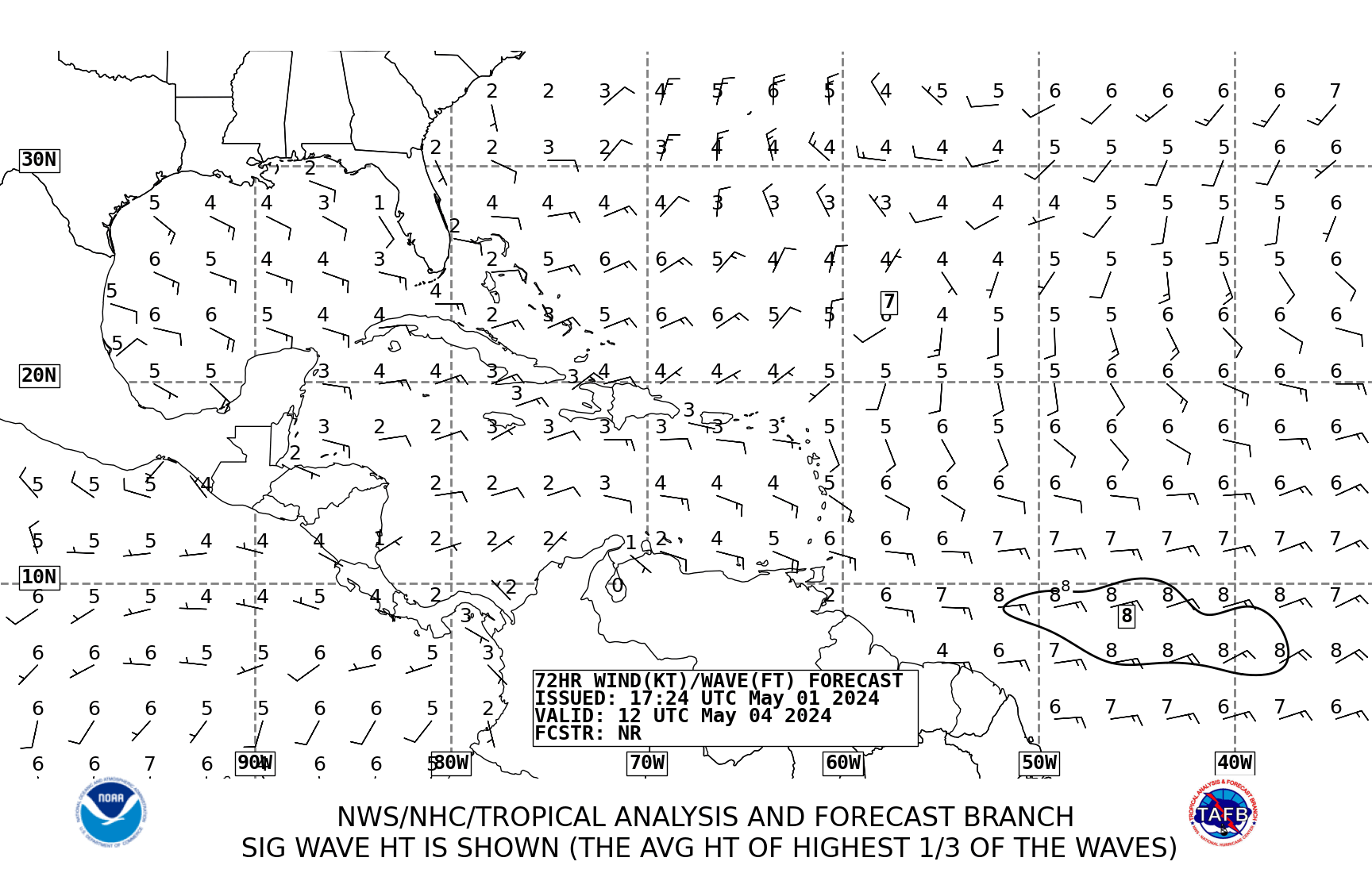
The NHC Products are showing a L in the NW Caribbean in 72 Hours:

Image
0 likes   

Anonymous

#9 Postby Anonymous » Mon Jun 06, 2005 11:04 pm

boca_chris wrote:The NHC Products are showing a L in the NW Caribbean in 72 Hours:

Image


Thats not over the caribbean, thats over land
0 likes   

User avatar
gatorcane
S2K Supporter
S2K Supporter
Posts: 23703
Age: 47
Joined: Sun Mar 13, 2005 3:54 pm
Location: Boca Raton, FL

#10 Postby gatorcane » Mon Jun 06, 2005 11:15 pm

it's on the edge....it could be farther west or east....if it's east there could be possbility for development as people have been discussing.
0 likes   

User avatar
mobilebay
Category 5
Category 5
Posts: 1853
Age: 51
Joined: Wed Aug 18, 2004 1:22 am
Location: Mobile, Alabama

#11 Postby mobilebay » Mon Jun 06, 2005 11:33 pm

I don't know if I'm reading this correctly, but the 00Z GFS seems to be developing a totaly different system than the one in the Eastern Caribbean Sea. The new GFS holds the low together all the way into Southern Mississippi.
0 likes   

User avatar
dhweather
S2K Supporter
S2K Supporter
Posts: 6199
Joined: Sat Aug 14, 2004 9:29 pm
Location: Heath, TX
Contact:

Re: 10:30pm TWO-Slow development... if at all

#12 Postby dhweather » Tue Jun 07, 2005 8:41 am

Brent wrote:dhweather, your slipping. :wink: :P

TROPICAL WEATHER OUTLOOK
NWS TPC/NATIONAL HURRICANE CENTER MIAMI FL
1030 PM EDT MON JUN 6 2005

FOR THE NORTH ATLANTIC...CARIBBEAN SEA AND THE GULF OF MEXICO...

DISORGANIZED CLOUDINESS...SHOWERS...AND THUNDERSTORMS PERSIST OVER
THE EASTERN CARIBBEAN SEA AND THE ADJACENT LAND AREAS.
DEVELOPMENT...IF ANY...SHOULD BE SLOW TO OCCUR. THIS SYSTEM COULD
PRODUCE LOCALLY HEAVY RAINFALL OVER PORTIONS OF HISPANIOLA...PUERTO
RICO...AND THE LESSER ANTILLES.

ELSEWHERE...TROPICAL STORM FORMATION IS NOT EXPECTED THROUGH
WEDNESDAY.

FORECASTER PASCH


Brent- I know you've got my back! :D


David
0 likes   

ColdFront77

#13 Postby ColdFront77 » Tue Jun 07, 2005 9:08 am

One of the local mets. said the system may, may develop and COULD effect the Florida peninsula by the end of the week.
0 likes   

Brent
S2K Supporter
S2K Supporter
Posts: 38266
Age: 37
Joined: Sun May 16, 2004 10:30 pm
Location: Tulsa Oklahoma
Contact:

#14 Postby Brent » Tue Jun 07, 2005 9:09 am

ColdFront77 wrote:One of the local mets. said the system may, may develop and COULD effect the Florida peninsula by the end of the week.


More rain whether it develops or not.

NWS up here(in Central Alabama) is even mentioning rain this weekend from it. :eek:
0 likes   
#neversummer

tracyswfla
S2K Supporter
S2K Supporter
Posts: 792
Joined: Tue May 18, 2004 1:19 pm
Location: Rochester, NY

#15 Postby tracyswfla » Tue Jun 07, 2005 9:10 am

ColdFront77 wrote:One of the local mets. said the system may, may develop and COULD effect the Florida peninsula by the end of the week.


Did that local met mention what part of storm ridden of the Florida Peninsula it could affect.... <uh oh, haven't even started to prepare!>
0 likes   

User avatar
boca
Category 5
Category 5
Posts: 6400
Age: 61
Joined: Mon Dec 15, 2003 8:49 am
Location: Boca Raton,FL

#16 Postby boca » Tue Jun 07, 2005 9:13 am

Coldfront I hope this system stays away because I have a family reunion to attend this weekend in Disney World.
0 likes   

User avatar
vbhoutex
Storm2k Executive
Storm2k Executive
Posts: 29133
Age: 74
Joined: Wed Oct 09, 2002 11:31 pm
Location: Cypress, TX
Contact:

#17 Postby vbhoutex » Tue Jun 07, 2005 9:19 am

Depending on how this system develops, if it even does, it could affect just about anywhere from NO Eastward, but it is going to have work hard to do it by this weekend, imo.
0 likes   

User avatar
boca
Category 5
Category 5
Posts: 6400
Age: 61
Joined: Mon Dec 15, 2003 8:49 am
Location: Boca Raton,FL

#18 Postby boca » Tue Jun 07, 2005 9:22 am

This has to hold together for 24hrs before I get excited about it.
0 likes   

ColdFront77

#19 Postby ColdFront77 » Wed Jun 08, 2005 3:50 am

tracyswfla wrote:Did that local met mention what part of storm ridden of the Florida Peninsula it could affect.... <uh oh, haven't even started to prepare!>

No, it wouldn't be until at least the weekend, which of course is too far to early to tell. BTW, it was Tom Terry.

As David mentioned New Orleans eastward is the best way things look now.

boca wrote:Coldfront I hope this system stays away because I have a family reunion to attend this weekend in Disney World.

Hopefully it isn't a washout. :)
0 likes   

User avatar
Zadok
Tropical Storm
Tropical Storm
Posts: 232
Joined: Sun Aug 29, 2004 7:32 am
Location: USA East Coast

#20 Postby Zadok » Wed Jun 08, 2005 4:53 am

It is looking better to me this morning but what do I know. What can we expect when the sun hits it this morning?

Image
0 likes   


Return to “Talkin' Tropics”

Who is online

Users browsing this forum: No registered users and 608 guests