...SPECIAL FEATURE...
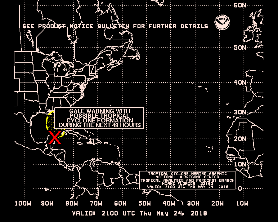
A 1010 MB LOW IS OVER THE BAHAMAS NEAR 24N77W MOVING N. A
SURFACE TROUGH EXTENDS N TO 31N75W. THE SYSTEM IS BENEATH A
SHARP MID/UPPER LEVEL TROUGH WHICH STRETCHES FROM THE W COAST OF
FLORIDA TO JUST W OF THE BAHAMAS...AND STRONG DIFFLUENCE TO THE
E OF THIS TROUGH IS CAUSING SCATTERED MODERATE/ ISOLATED STRONG
CONVECTION MAINLY N AND E OF THE BAHAMA ISLANDS FROM 22N-32N
BETWEEN 70W-75W. SUBTROPICAL CYCLONE DEVELOPMENT IS POSSIBLE
WITHIN THE NEXT 36 HRS OFF THE COAST OF SOUTH CAROLINA.
What I haved been saying in other threads about this not being a full tropical system.
8:05 PM TWD=Special Feature,Possible Subtropical Development
Moderator: S2k Moderators
Forum rules
The posts in this forum are NOT official forecasts and should not be used as such. They are just the opinion of the poster and may or may not be backed by sound meteorological data. They are NOT endorsed by any professional institution or STORM2K. For official information, please refer to products from the National Hurricane Center and National Weather Service.
- cycloneye
- Admin

- Posts: 148856
- Age: 69
- Joined: Thu Oct 10, 2002 10:54 am
- Location: San Juan, Puerto Rico
8:05 PM TWD=Special Feature,Possible Subtropical Development
0 likes
Visit the Caribbean-Central America Weather Thread where you can find at first post web cams,radars
and observations from Caribbean basin members Click Here
and observations from Caribbean basin members Click Here
Who is online
Users browsing this forum: No registered users and 41 guests


