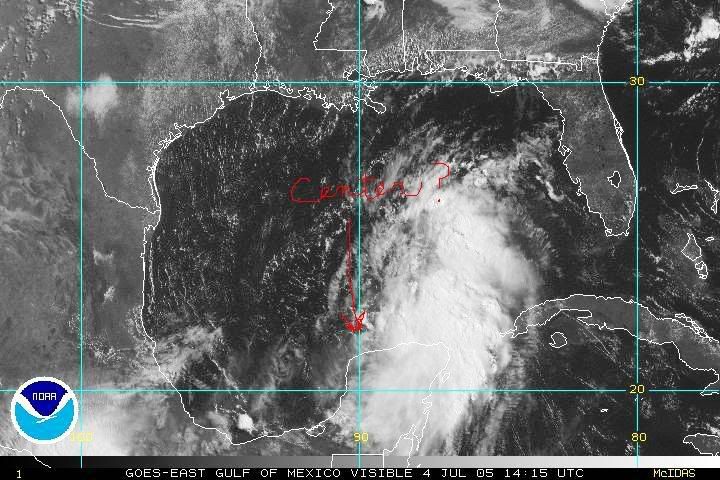
Here is where I think it it:

This radar image makes me even in the thinking:
Moderator: S2k Moderators


~Floydbuster wrote:I think recon will find a new center in the area circled. The X marks the old center. I am kind of surprised the NHC still tracked the old center, given the organization of the new one.
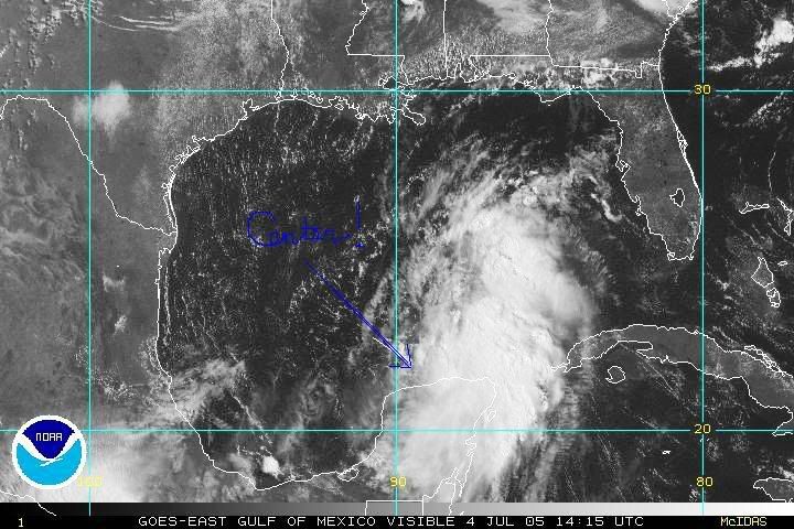
Here is where I think it it:
This radar image makes me even in the thinking:


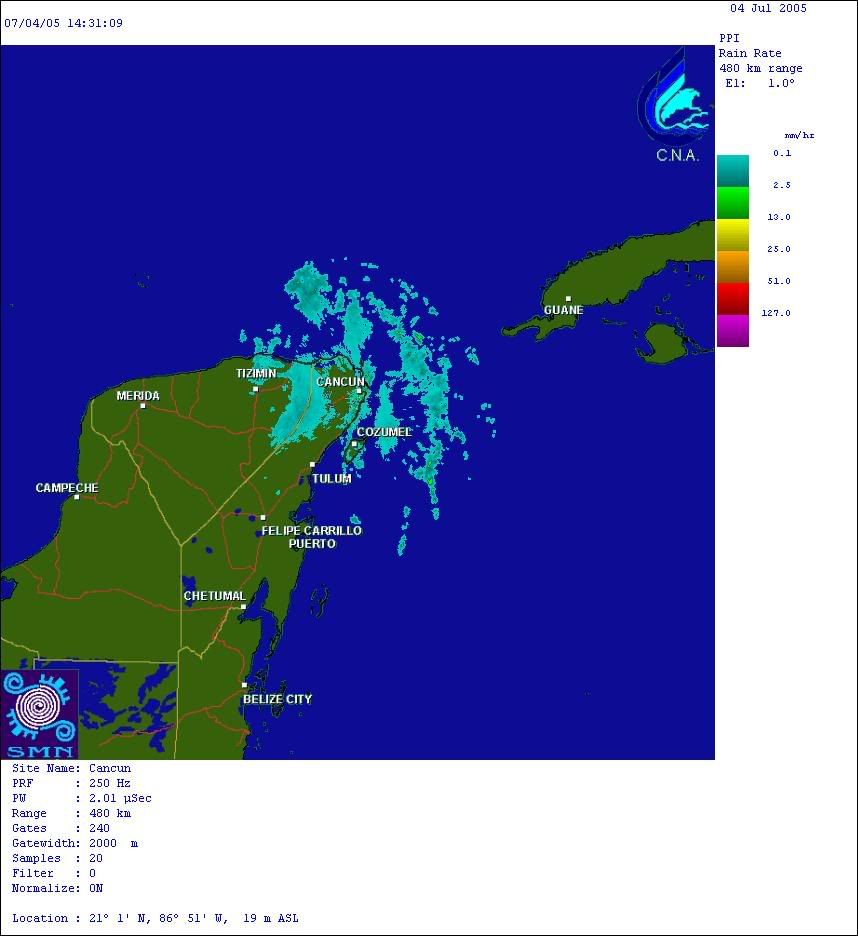
wx247 wrote:I don't know how you can tell anything from that still radar image.
~Floydbuster wrote:I think recon will find a new center in the area circled. The X marks the old center. I am kind of surprised the NHC still tracked the old center, given the organization of the new one.
Here is where I think it it:


x-y-no wrote:I think Floydbuster is pretty close with this position. One can see a slight westerly component to the low-level clouds moving ashore onto the NW Yucatan now, which indicates the center is WNW of there, and probably offshore already under that burst of convection.

Users browsing this forum: hcane27 and 70 guests