Stormcenter wrote:wxman57 wrote:Steve H. wrote:But if you listen to the NOAA radio broadcast, it says that this system may have a significant impact on the weather in east central Florida. Stay Tuned.
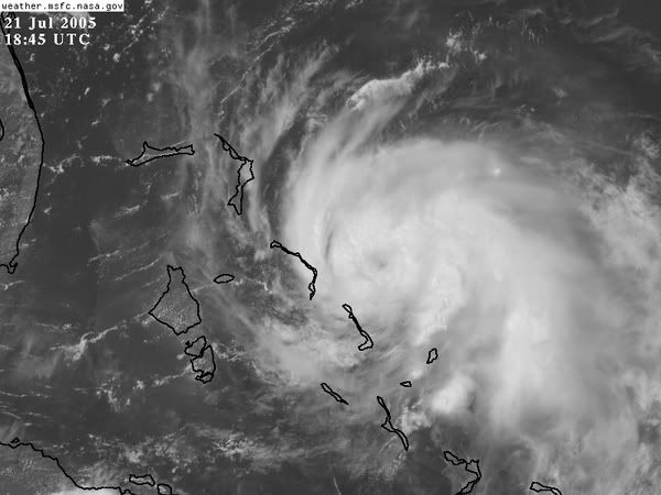
It's 330 miles east of Miami and squalls extend only 70 miles west of the center. It'll have to move quite a bit west to affect Florida.
Huh? The NHC hasn't even come out with an advisory stating how far the winds extend or whatever. I think this is a little misleading unless you have connections to the NHC.
you were the one that titled your thread "Official"