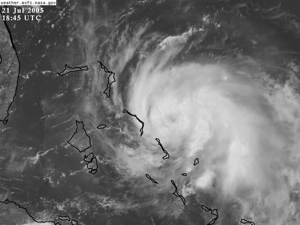
Okay an eye-like feature just appeared at the center of circulation what the heck?!
The storm is also obviously entraining the surface bands to the north connoting strength...
Moderator: S2k Moderators


A developing tropical system southeast of Cape Canaveral is beginning to capture NASA's attention today. The National Hurricane Center is closely monitoring the tropical wave for potential formation into a tropical storm later today. A NASA spokesman says the agency is "starting to keep an eye on it, but it's not a threat yet" for Discovery sitting on launch pad 39B.
Users browsing this forum: MadaTheConquistador and 139 guests