(I can't seem to get images to display so please forgive having to click to these links)
http://stephencosby.tripod.com/weather/index.album?i=0&s=1
In the next image, the donut is clearly visible.
http://stephencosby.tripod.com/weather/index.album?i=1&s=1
Now, the donut is expanding and beginning to dissipate.
http://stephencosby.tripod.com/weather/index.album?i=2&s=1
And, at around 11:49Z, the donut is dissipating now.
http://stephencosby.tripod.com/weather/index.album?i=3&s=1
I sent an email to the NWS office in Little Rock asking, in essence, "WTF?" One of the meteorologists responded with the following:
Actually, the "donuts" show up occasionally...usually around area lakes and mostly during the early morning (toward sunrise). The culprit, or so I've been told, is bird activity (yes, the radar actually detects birds).
It was around sunrise and the donut did appear over Lake Ouachita near Hot Springs.
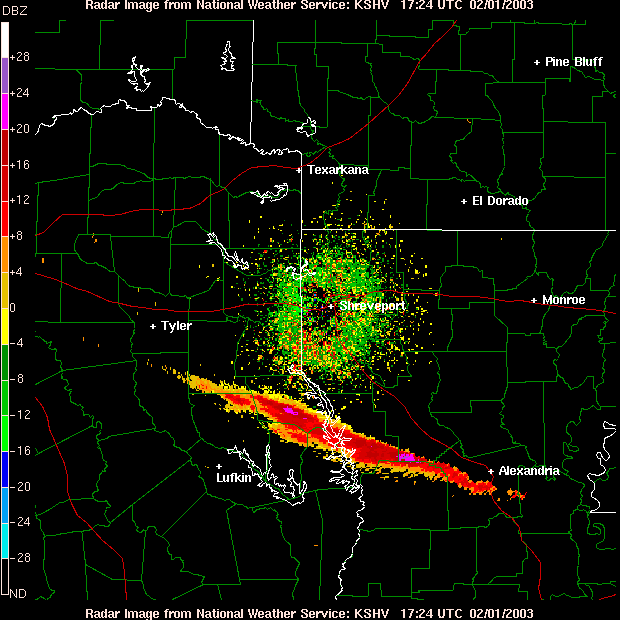
I did look at surrounding radars to see if they saw the donut and, lo and behold, they did. In fact, the radar around Memphis had three of them itself. Surprisingly, these all occured on a line roughly parallel to the cold front which went through last night.
Although the explanation of the NWS meterologist tracks with lakes and sunrise, I'm having a hard time believing it.
So, I turn to the intrepid Storm2K community for comment and explanation. Any thoughts would be most appreciated.
--
Steve Cosby


