Southern Tip of Florida--Anything there?

This is the general tropical discussion area. Anyone can take their shot at predicting a storms path.

Moderator: S2k Moderators

Forum rules

The posts in this forum are NOT official forecasts and should not be used as such. They are just the opinion of the poster and may or may not be backed by sound meteorological data. They are NOT endorsed by any professional institution or STORM2K. For official information, please refer to products from the National Hurricane Center and National Weather Service.

Help Support Storm2K
Message
Author
rockyman
Category 5
Category 5
Posts: 1967
Joined: Thu Jun 26, 2003 12:24 pm
Location: Dauphin Island, AL

Southern Tip of Florida--Anything there?

#1 Postby rockyman » Sat Jul 30, 2005 9:11 am

Small batch of convection has hung around for a few hours...and some very slight turning near the SE tip of mainland FLA...is this the same system that was in the Bahamas yesterday (mentioned in the TWO)?


Image

Image
0 likes   

User avatar
ROCK
Category 5
Category 5
Posts: 9492
Age: 54
Joined: Tue Aug 17, 2004 7:30 am
Location: Kemah, Texas

Re: Southern Tip of Florida--Anything there?

#2 Postby ROCK » Sat Jul 30, 2005 9:23 am

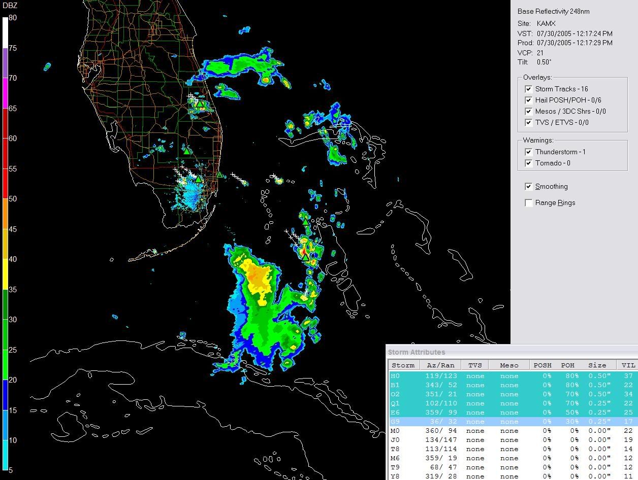
rockyman wrote:Small batch of convection has hung around for a few hours...and some very slight turning near the SE tip of mainland FLA...is this the same system that was in the Bahamas yesterday (mentioned in the TWO)?


Image

Image


yes it is. I believe its the result of the ULL off to its west moving west.
0 likes   

User avatar
x-y-no
Category 5
Category 5
Posts: 8359
Age: 65
Joined: Wed Aug 11, 2004 12:14 pm
Location: Fort Lauderdale, FL

#3 Postby x-y-no » Sat Jul 30, 2005 9:32 am

Upper-level divergence is driving some convection, that's all.
0 likes   

User avatar
dhweather
S2K Supporter
S2K Supporter
Posts: 6199
Joined: Sat Aug 14, 2004 9:29 pm
Location: Heath, TX
Contact:

#4 Postby dhweather » Sat Jul 30, 2005 9:52 am

Yep, it's an upper level low - check the GUTS IN thread. :)

http://www.storm2k.org/phpbb2/viewtopic.php?t=69422
0 likes   

dolebot_Broward_NW
Category 2
Category 2
Posts: 529
Joined: Fri Sep 10, 2004 6:38 am

#5 Postby dolebot_Broward_NW » Sat Jul 30, 2005 11:57 am

radar...Seems to look (esp on satellite) much better than it really is.

The slight turning you see due to the westward moving storms across the peninsula, are our daily thunderstorms, don't think they are associated with the ULL and all the convection off the tip.

Image
0 likes   

User avatar
EDR1222
S2K Supporter
S2K Supporter
Posts: 1253
Joined: Mon Nov 10, 2003 12:58 pm
Location: Melbourne, FL

#6 Postby EDR1222 » Sat Jul 30, 2005 1:44 pm

Whatever it is, I sure wish it would move up to east central Florida and give us a little rain! Probably not going to happen though. :(
0 likes   

User avatar
Hurricaneman
Category 5
Category 5
Posts: 7404
Age: 45
Joined: Tue Aug 31, 2004 3:24 pm
Location: central florida

#7 Postby Hurricaneman » Sat Jul 30, 2005 1:45 pm

ULL
0 likes   


Return to “Talkin' Tropics”

Who is online

Users browsing this forum: cheezyWXguy, hurricanes1234 and 317 guests