92L Invest
Moderator: S2k Moderators
Forum rules
The posts in this forum are NOT official forecasts and should not be used as such. They are just the opinion of the poster and may or may not be backed by sound meteorological data. They are NOT endorsed by any professional institution or STORM2K. For official information, please refer to products from the National Hurricane Center and National Weather Service.
-
Derek Ortt
-
Matt-hurricanewatcher
-
Matt-hurricanewatcher
NOUS42 KNHC 021430
WEATHER RECONNAISSANCE FLIGHTS
CARCAH, TPC/NATIONAL HURRICANE CENTER, MIAMI, FL.
1030 AM EDT TUE 02 AUGUST 2005
SUBJECT: TROPICAL CYCLONE PLAN OF THE DAY (TCPOD)
VALID 03/1100Z TO 04/1100Z AUG 2005
TCPOD NUMBER.....05-066
I. ATLANTIC REQUIREMENTS
1. SUSPECT AREA (NEAR BERMUDA)
FLIGHT ONE FLIGHT TWO
A. 03/1800Z A. 04/0600Z
B. AFXXX 01GGA INVEST B. AFXXX 0208A CYCLONE
C. 03/1330Z C. 04/0045Z
D. 31.0N 67.0W D. 32.0N 65.0W
E. 03/1700Z TO 03/2130Z E. 04/0500Z TO 04/0930Z
F. SFC TO 10,000 FT F. SFC TO 10,000 FT
2. OUTLOOK FOR SUCCEEDING DAY: POSSIBLE FIX AT 04/1800Z
IF SYSTEM HAS NOT PASSED BERMUDA
0 likes
- DESTRUCTION5
- Category 5

- Posts: 4430
- Age: 44
- Joined: Wed Sep 03, 2003 11:25 am
- Location: Stuart, FL
-
Derek Ortt
ABNT20 KNHC 021514
TWOAT
TROPICAL WEATHER OUTLOOK
NWS TPC/NATIONAL HURRICANE CENTER MIAMI FL
1130 AM EDT TUE AUG 2 2005
FOR THE NORTH ATLANTIC...CARIBBEAN SEA AND THE GULF OF MEXICO...
A BROAD AREA OF LOW PRESSURE IS CENTERED ABOUT 475 MILES SOUTHWEST
OF BERMUDA...WITH A LARGE AREA OF SHOWERS AND THUNDERSTORMS LOCATED
TO THE NORTH AND EAST OF AN ILL-DEFINED SURFACE CENTER. UPPER-
LEVEL WINDS HAVE BECOME MORE FAVORABLE FOR DEVELOPMENT SINCE
YESTERDAY...AND THIS SYSTEM HAS THE POTENTIAL TO DEVELOP INTO A
TROPICAL DEPRESSION OR TROPICAL STORM DURING THE NEXT 24 HOURS AS
IT MOVES SLOWLY NORTH-NORTHEASTWARD. INTERESTS IN BERMUDA SHOULD
MONITOR THE PROGRESS OF THIS SYSTEM.
ELSEWHERE...TROPICAL STORM FORMATION IS NOT EXPECTED THROUGH
WEDNESDAY.
FORECASTER FRANKLIN
0 likes
- WindRunner
- Category 5

- Posts: 5806
- Age: 35
- Joined: Fri Jul 29, 2005 8:07 pm
- Location: Warrenton, VA, but Albany, NY for school
- Contact:
- WindRunner
- Category 5

- Posts: 5806
- Age: 35
- Joined: Fri Jul 29, 2005 8:07 pm
- Location: Warrenton, VA, but Albany, NY for school
- Contact:
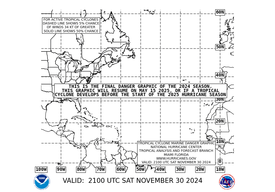
The danger area graphic reads "tropical or subtropical development . . ."
why subtropical?
http://www.nhc.noaa.gov/tafb_latest/danger_atl_latestBW.gif

why subtropical?
http://www.nhc.noaa.gov/tafb_latest/danger_atl_latestBW.gif

0 likes
-
Stormcenter
- S2K Supporter

- Posts: 6689
- Joined: Wed Sep 03, 2003 11:27 am
- Location: Houston, TX
- wxwatcher91
- Category 5

- Posts: 1606
- Joined: Wed Jul 06, 2005 2:43 pm
- Location: Keene, NH
- Contact:
-
Matt-hurricanewatcher
- cycloneye
- Admin

- Posts: 148836
- Age: 69
- Joined: Thu Oct 10, 2002 10:54 am
- Location: San Juan, Puerto Rico
wxwatcher91 wrote:no recon???
Tommorow afternoon at 18:00z.
--------------------------------------------------------------------------------
NOUS42 KNHC 021430
WEATHER RECONNAISSANCE FLIGHTS
CARCAH, TPC/NATIONAL HURRICANE CENTER, MIAMI, FL.
1030 AM EDT TUE 02 AUGUST 2005
SUBJECT: TROPICAL CYCLONE PLAN OF THE DAY (TCPOD)
VALID 03/1100Z TO 04/1100Z AUG 2005
TCPOD NUMBER.....05-066
I. ATLANTIC REQUIREMENTS
1. SUSPECT AREA (NEAR BERMUDA)
FLIGHT ONE FLIGHT TWO
A. 03/1800Z A. 04/0600Z
B. AFXXX 01GGA INVEST B. AFXXX 0208A CYCLONE
C. 03/1330Z C. 04/0045Z
D. 31.0N 67.0W D. 32.0N 65.0W
E. 03/1700Z TO 03/2130Z E. 04/0500Z TO 04/0930Z
F. SFC TO 10,000 FT F. SFC TO 10,000 FT
2. OUTLOOK FOR SUCCEEDING DAY: POSSIBLE FIX AT 04/1800Z
IF SYSTEM HAS NOT PASSED BERMUDA
0 likes
Visit the Caribbean-Central America Weather Thread where you can find at first post web cams,radars
and observations from Caribbean basin members Click Here
and observations from Caribbean basin members Click Here
-
Matt-hurricanewatcher
Last night's GFDL was the first in awhile to not dissipate a system. Didn't do terribly much with it, but it did sustain it:
http://moe.met.fsu.edu/cgi-bin/gfdltc2. ... =Animation
The morning forecast track is out:
http://twister.sbs.ohio-state.edu/text/ ... s/05080217
but it hasn't hit the tcgengifs yet.
http://moe.met.fsu.edu/cgi-bin/gfdltc2. ... =Animation
The morning forecast track is out:
http://twister.sbs.ohio-state.edu/text/ ... s/05080217
but it hasn't hit the tcgengifs yet.
0 likes
- cycloneye
- Admin

- Posts: 148836
- Age: 69
- Joined: Thu Oct 10, 2002 10:54 am
- Location: San Juan, Puerto Rico
02/1745 UTC 28.0N 69.3W T1.0/1.0 92 -- Atlantic Ocean
0 likes
Visit the Caribbean-Central America Weather Thread where you can find at first post web cams,radars
and observations from Caribbean basin members Click Here
and observations from Caribbean basin members Click Here
-
Derek Ortt
Derek Ortt wrote:I'd much rather see this classified using the HP method, instead of the Dvorak method. Dvorak is not meant for these subtropical-type systems. HP is
Derek, do you know of a write-up of that method online? Or otherwise, a book that mentions it? Am mildly curious.
Meant to ask the first time I saw you mention it.
-----------------------------------------------------------------------------------------
Obviously bored out of mind due to my two weeks of 'active' duty
0 likes
-
Derek Ortt
http://www.nhc.noaa.gov/abouttafbprod.shtml
<i>More infomation on the Herbert-Poteat technique is found in NOAA Technical Memorandum NWS SR-83</i> (From the above site)
<i>More infomation on the Herbert-Poteat technique is found in NOAA Technical Memorandum NWS SR-83</i> (From the above site)
0 likes
Who is online
Users browsing this forum: No registered users and 101 guests

