GOM System (Ex 95L)
Moderator: S2k Moderators
Forum rules

The posts in this forum are NOT official forecasts and should not be used as such. They are just the opinion of the poster and may or may not be backed by sound meteorological data. They are NOT endorsed by any professional institution or STORM2K. For official information, please refer to products from the National Hurricane Center and National Weather Service.
-
Portastorm

- Storm2k Moderator

- Posts: 9915
- Age: 63
- Joined: Fri Jul 11, 2003 9:16 am
- Location: Round Rock, TX
- Contact:
-
wxman57

- Moderator-Pro Met

- Posts: 23131
- Age: 68
- Joined: Sat Jun 21, 2003 8:06 pm
- Location: Houston, TX (southwest)
I'm quite concerned about this cluster of storms. Over the past couple of hours there has been a darmatic increase in convection. Satellite indicates very good outflow. No sign of an LLC or MLC, but IF (big IF) these storms persist overnight then I think we may see a TD form tomorrow as it moves SW-WSW at 10-12 mph. I estimate it may move inland into northern Mexico or south Texas late Thursday night or Friday morning (assuming it's still around by then). So not much time over water.
An interesting note, this disturbance is near 27N/89W. Alicia formed near 27N/90W on August 15th, 1983. Steering currents aren't the same as with Alicia, though, and this system will have about 24 hours less time to strengthen, assuming it DOES become a TD tomorrow.
Certainly has my full attentiion as it's right over our clients. Had a report of a 58kt wind gust in the squalls an hour or two ago.
0 likes
-
Derek Ortt
-
Extremeweatherguy

- Category 5

- Posts: 11095
- Joined: Mon Oct 10, 2005 8:13 pm
- Location: Florida


from NHC:
http://twister.sbs.ohio-state.edu/text/ ... BNT20.KNHC
AN AREA OF SHOWERS AND THUNDERSTORMS...ASSOCIATED WITH A SURFACE
TROUGH...HAS DEVELOPED OVER THE NORTH-CENTRAL GULF OF MEXICO THIS
AFTERNOON. SOME SLOW DEVELOPMENT OF THIS SYSTEM IS POSSIBLE OVER
THE NEXT DAY OR SO. LITTLE MOTION IS EXPECTED AT THIS TIME.
Last edited by drezee on Tue Aug 15, 2006 3:57 pm, edited 1 time in total.
0 likes
-
skysummit

- S2K Supporter

- Posts: 5305
- Age: 50
- Joined: Tue Aug 31, 2004 11:09 pm
- Location: Ponchatoula, LA
- Contact:
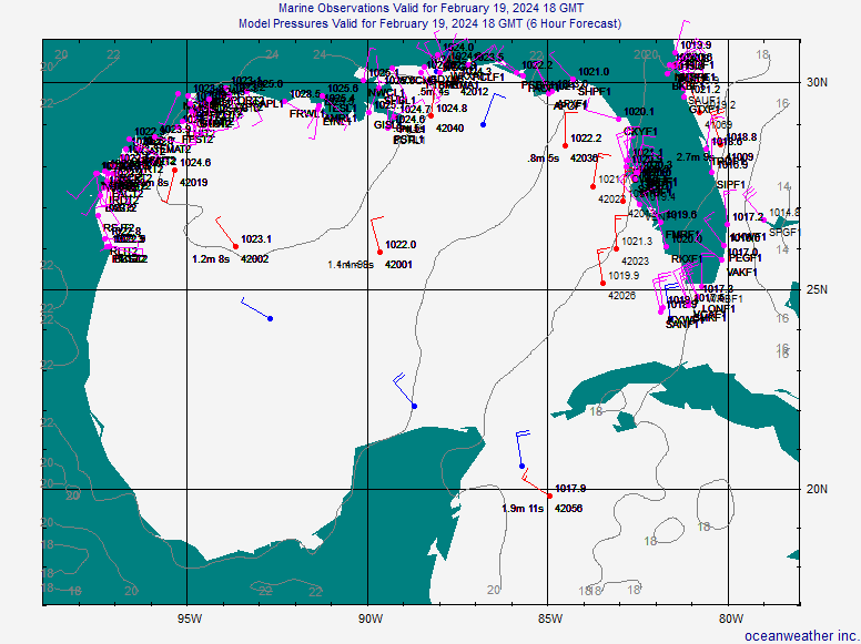
wxmann_91 wrote:skysummit wrote:wxmann....what about the buoy reports in the area? They're showing signs of a broad surface circulation.
You talking to me or wxman57?
I don't have the bouy reports.
Sorry....57. He mentioned no circulation yet, however, it looks like there may be one according to buoy reports:
0 likes
-
Rainband
-
Hybridstorm_November2001

- S2K Supporter
- Posts: 2817
- Joined: Sat Aug 21, 2004 2:50 pm
- Location: SW New Brunswick, Canada
- Contact:
-
Stormcenter
- S2K Supporter
- Posts: 6687
- Joined: Wed Sep 03, 2003 11:27 am
- Location: Houston, TX
TROPICAL WEATHER OUTLOOK
NWS TPC/NATIONAL HURRICANE CENTER MIAMI FL
530 PM EDT TUE AUG 15 2006
AN AREA OF SHOWERS AND THUNDERSTORMS...ASSOCIATED WITH A SURFACE
TROUGH...HAS DEVELOPED OVER THE NORTH-CENTRAL GULF OF MEXICO THIS
AFTERNOON. SOME SLOW DEVELOPMENT OF THIS SYSTEM IS POSSIBLE OVER
THE NEXT DAY OR SO. LITTLE MOTION IS EXPECTED AT THIS TIME.
Now the part about "little movement" is VERY interesting considering how warm the GOM is.
0 likes
-
miamicanes177
- Category 5
- Posts: 1131
- Joined: Tue Aug 01, 2006 10:53 pm
-
wxman57
- Moderator-Pro Met
- Posts: 23131
- Age: 68
- Joined: Sat Jun 21, 2003 8:06 pm
- Location: Houston, TX (southwest)
skysummit wrote:wxmann....what about the buoy reports in the area? They're showing signs of a broad surface circulation.
As you can see from the post above this one, buoys have westerly winds to the NORTH of the storms. Unless it's rotating anticyclonically, then there's no LLC yet. As Derek and I said, the key is PERSISTENCE. The storms must persist at least through tonight.
0 likes
-
Stormcenter
- S2K Supporter
- Posts: 6687
- Joined: Wed Sep 03, 2003 11:27 am
- Location: Houston, TX
If there is a "center" forming it looks it would be somewhere south of SSE of Mobile, AL.
http://www.ssd.noaa.gov/goes/east/gmex/loop-avn.html
http://www.ssd.noaa.gov/goes/east/gmex/loop-avn.html
0 likes

miamicanes177 wrote:would upwelling be a problem if it just sits in the same spot?
Not unless it became a Strong T.S. or Cane
Last edited by tailgater on Tue Aug 15, 2006 4:06 pm, edited 1 time in total.
0 likes
-
StormWarning1
- Category 1

- Posts: 254
- Joined: Sun Jul 10, 2005 9:29 pm
- Location: Nashville TN
-
weatherrabbit_tx

- Category 1
- Posts: 270
- Joined: Wed Dec 21, 2005 3:13 pm
- Location: Kingwood,Tx
- Contact:

Who is online
Users browsing this forum: No registered users and 57 guests