canegrl04 wrote:WOuld like to see the latest projected path map.Something updated from 5pm.It will probably swith to the west slightly
There will not be an updated map until the 11pm advisory.
Moderator: S2k Moderators
WeatherEmperor wrote:Weatherfreak000 wrote:Isn't it possible the NHC just hasn't issued an 8PM 5 Day Track yet?
That could very well be the real deal right?
The NHC only updates the track at 5 and 11, not during intermediate advisories.
<RICKY>

Weatherfreak000 wrote:Isn't it possible the NHC just hasn't issued an 8PM 5 Day Track yet?
That could very well be the real deal right?
That's not true, they had a 2 PM Track earlier today.

skysummit wrote:huricanwatcher wrote:Ernie going more north than expected, I believe.. not going to be a GOM storm
LOL...that's got to be the most hilarious post I've seen yet. Thanks for making me laugh!

Stormcenter wrote:Portastorm wrote:Isn't that GFDN track a drastic change from its previous run?
Seems a bit whacked. I dunno.
I think it does.
Brent wrote:Weatherfreak000 wrote:Isn't it possible the NHC just hasn't issued an 8PM 5 Day Track yet?
That could very well be the real deal right?
That's not true, they had a 2 PM Track earlier today.
No, that's the 11am track again.
and no, the 2pm track was the exact same as the 11am track. Only the initial position changed.


I think previously it had a track to SE Louisiana.HouTXmetro wrote:Stormcenter wrote:Portastorm wrote:Isn't that GFDN track a drastic change from its previous run?
Seems a bit whacked. I dunno.
I think it does.
IF there is a trend it has to start somewhere, however this solution would be in line with what many mets on this board have been saying all day. Those who didn't buy the Eastward GFS trend.

skysummit wrote:huricanwatcher wrote:Ernie going more north than expected, I believe.. not going to be a GOM storm
LOL...that's got to be the most hilarious post I've seen yet. Thanks for making me laugh!
skysummit wrote:That 8pm track on Wunderground is not correct. That's the old track from today. I just checked the raw data and it's the same as the 5pm track. Plus, they don't change forecast tracks on Intermediate Advisories.

drezee wrote:hard to believe a model is saying 150 kts...not much to say about it. I am not very familair with the models track record.
http://wind.mit.edu/~emanuel/storm.html

drezee wrote:hard to believe a model is saying 150 kts...not much to say about it. I am not very familair with the models track record.
http://wind.mit.edu/~emanuel/storm.html


huricanwatcher wrote:Looking at the models tonight from early this morning . Good ole Ernie is shitfting way east and north of what was forcast earlier..... So southern tip FL and up the East coast is still not out of the question (for all those that thought my earlier post was so humorous)

Brent wrote:huricanwatcher wrote:Looking at the models tonight from early this morning . Good ole Ernie is shitfting way east and north of what was forcast earlier..... So southern tip FL and up the East coast is still not out of the question (for all those that thought my earlier post was so humorous)
It still is.

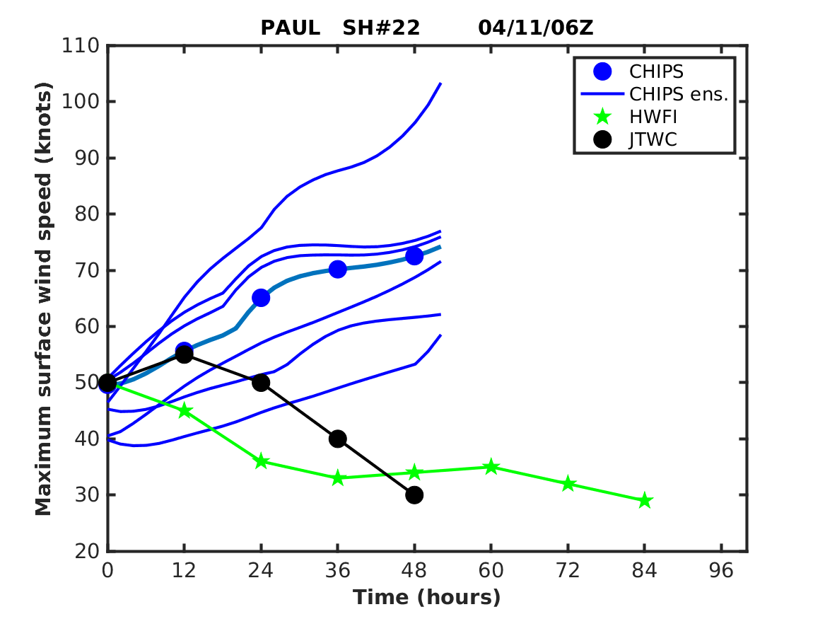
What the heck is CHIPS Ens.? Never heard of it.
Users browsing this forum: MarioProtVI and 264 guests