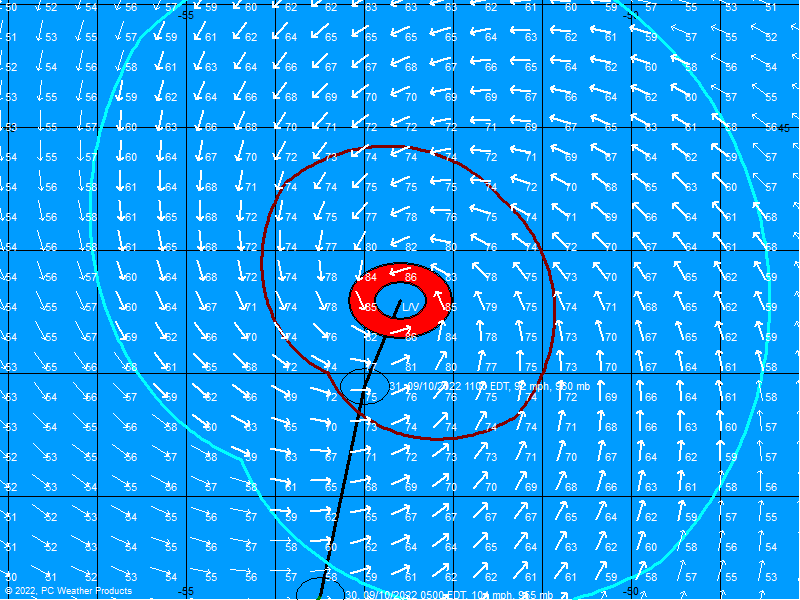
TS Ernesto Satellite,Analysis and Models Thread #5
Moderator: S2k Moderators
Forum rules
The posts in this forum are NOT official forecasts and should not be used as such. They are just the opinion of the poster and may or may not be backed by sound meteorological data. They are NOT endorsed by any professional institution or STORM2K. For official information, please refer to products from the National Hurricane Center and National Weather Service.
-
Matt-hurricanewatcher
- bostonseminole
- Tropical Storm

- Posts: 209
- Joined: Sun Sep 11, 2005 3:54 pm
- Location: Tokyo, Japan
Matt-hurricanewatcher wrote:After 93L I feel if they don't find a west wind that they should be fair in discount the Advisories on this. Because it would not be a cyclone.
I doubt they will do that now. It's probably hasn't a closed circulation for while now. Since it may be offshore now, they will probably give it a chance to close off before discontinuing advisories.
0 likes
-
Matt-hurricanewatcher
-
superfly
Latest Camaguey, Cuba radar loop
http://www.insmet.cu/asp/genesis.asp?TB0=PLANTILLAS&TB1=RADAR&TB2=../Radar/04Camaguey/cmwMAXw01a.gif
http://www.insmet.cu/asp/genesis.asp?TB0=PLANTILLAS&TB1=RADAR&TB2=../Radar/04Camaguey/cmwMAXw01a.gif
0 likes
- deltadog03
- Professional-Met

- Posts: 3580
- Joined: Tue Jul 05, 2005 6:16 pm
- Location: Macon, GA
-
chrisnnavarre
- Category 1

- Posts: 309
- Joined: Fri Oct 03, 2003 5:52 pm
- Contact:
The center has moved offshore but it's not closed. That's why there is no VDM yet. What may be happening is that LLC may be trying to reform just offshore.
Last edited by Thunder44 on Tue Aug 29, 2006 3:20 am, edited 1 time in total.
0 likes
515
WHXX01 KWBC 290707
CHGHUR
DISCLAIMER...NUMERICAL MODELS ARE SUBJECT TO LARGE ERRORS.
PLEASE REFER TO TPC/NHC OFFICIAL FORECASTS FOR TROPICAL CYCLONES.
NATIONAL HURRICANE CENTER NORTH ATLANTIC OBJECTIVE AIDS FOR
TROPICAL STORM ERNESTO (AL052006) ON 20060829 0600 UTC
...00 HRS... ...12 HRS... ...24 HRS... ...36 HRS...
060829 0600 060829 1800 060830 0600 060830 1800
LAT LON LAT LON LAT LON LAT LON
BAMD 22.2N 78.4W 22.9N 80.1W 23.9N 81.6W 25.1N 82.8W
BAMM 22.2N 78.4W 23.2N 80.1W 24.3N 81.4W 25.6N 82.3W
A98E 22.2N 78.4W 23.7N 80.3W 25.2N 81.8W 27.2N 82.6W
LBAR 22.2N 78.4W 23.4N 80.0W 24.7N 81.5W 26.2N 82.4W
SHIP 40KTS 46KTS 53KTS 62KTS
DSHP 40KTS 50KTS 49KTS 36KTS
...48 HRS... ...72 HRS... ...96 HRS... ..120 HRS...
060831 0600 060901 0600 060902 0600 060903 0600
LAT LON LAT LON LAT LON LAT LON
BAMD 26.8N 83.2W 31.7N 81.9W 37.1N 79.0W 43.3N 72.4W
BAMM 27.2N 82.2W 31.4N 79.1W 36.3N 75.9W 42.0N 70.8W
A98E 29.8N 82.1W 34.2N 80.3W 39.7N 76.8W 44.1N 70.2W
LBAR 27.7N 82.6W 30.9N 81.7W 35.4N 79.0W 42.2N 72.3W
SHIP 70KTS 80KTS 84KTS 77KTS
DSHP 38KTS 35KTS 28KTS 29KTS
...INITIAL CONDITIONS...
LATCUR = 22.2N LONCUR = 78.4W DIRCUR = 310DEG SPDCUR = 12KT
LATM12 = 20.8N LONM12 = 76.5W DIRM12 = 309DEG SPDM12 = 11KT
LATM24 = 19.1N LONM24 = 75.1W
WNDCUR = 40KT RMAXWD = 50NM WNDM12 = 35KT
CENPRS = 1006MB OUTPRS = 1012MB OUTRAD = 125NM SDEPTH = D
RD34NE = 75NM RD34SE = 0NM RD34SW = 0NM RD34NW = 0NM
0 likes
- deltadog03
- Professional-Met

- Posts: 3580
- Joined: Tue Jul 05, 2005 6:16 pm
- Location: Macon, GA
- bostonseminole
- Tropical Storm

- Posts: 209
- Joined: Sun Sep 11, 2005 3:54 pm
- Location: Tokyo, Japan
- SouthFLTropics
- Category 5

- Posts: 4258
- Age: 50
- Joined: Thu Aug 14, 2003 8:04 am
- Location: Port St. Lucie, Florida
5AM update is out at Wunderground. Winds are now 45MPH, motion NW @ 13 mph. Looks like he is making his move off of the coast!
0 likes
Fourth Generation Florida Native
Personal Storm History: David 79, Andrew 92, Erin 95, Floyd 99, Irene 99, Frances 04, Jeanne 04, Wilma 05, Matthew 16, Irma 17, Ian 22, Nicole 22, Milton 24
Personal Storm History: David 79, Andrew 92, Erin 95, Floyd 99, Irene 99, Frances 04, Jeanne 04, Wilma 05, Matthew 16, Irma 17, Ian 22, Nicole 22, Milton 24
- bostonseminole
- Tropical Storm

- Posts: 209
- Joined: Sun Sep 11, 2005 3:54 pm
- Location: Tokyo, Japan
Who is online
Users browsing this forum: Hurricanehink and 59 guests


