
Central Atlantic Wave,Midway Between Africa and L Antilles
Moderator: S2k Moderators
Forum rules

The posts in this forum are NOT official forecasts and should not be used as such. They are just the opinion of the poster and may or may not be backed by sound meteorological data. They are NOT endorsed by any professional institution or STORM2K. For official information, please refer to products from the National Hurricane Center and National Weather Service.
-
cycloneye

- Admin

- Posts: 149508
- Age: 69
- Joined: Thu Oct 10, 2002 10:54 am
- Location: San Juan, Puerto Rico
This is the wave that the models are jumping in recent runs.
0 likes
Visit the Caribbean-Central America Weather Thread where you can find at first post web cams,radars
and observations from Caribbean basin members Click Here
and observations from Caribbean basin members Click Here
-
Derek Ortt
-
Dean4Storms
- S2K Supporter

- Posts: 6358
- Age: 63
- Joined: Sun Aug 31, 2003 1:01 pm
- Location: Miramar Bch. FL
-
jhamps10
-
ConvergenceZone
.gif)
- Category 5

- Posts: 5241
- Joined: Fri Jul 29, 2005 1:40 am
- Location: Northern California
Hey Derek, do waves sometimes develop even though the models don't predict it will? I'm asking this because I've never studied the accuracy of the models regarding future storms. While I think it's obvious that sometimes the models often call for a wave to develop and it doesn't, does it work the other way around as well??
Anyone else can answer this too if you'd like ...
...
Even though the convection is blowing up, I'm not going to get caught in that trap again, lol...Everytime I see convection firing and open my big fat mouth, it poofs.......My lips are sealed....
Anyone else can answer this too if you'd like
Even though the convection is blowing up, I'm not going to get caught in that trap again, lol...Everytime I see convection firing and open my big fat mouth, it poofs.......My lips are sealed....
0 likes
-
ConvergenceZone
- Category 5
- Posts: 5241
- Joined: Fri Jul 29, 2005 1:40 am
- Location: Northern California
jhamps10 wrote:the wave continues to look better and better. at this rate we will have an invest in the next 24 hours, and maybe florence by sunday or monday.
I'm still a bit confused, are you guys looking at the area with the spin that's just east of the top of the slands?, or is it the wave with the ball of convection that's more east of the bottom of the islands?
Still don't have my latitude and longitude down, sorry
0 likes
-
cycloneye
- Admin
- Posts: 149508
- Age: 69
- Joined: Thu Oct 10, 2002 10:54 am
- Location: San Juan, Puerto Rico
ConvergenceZone,is the wave around 35w.
0 likes
Visit the Caribbean-Central America Weather Thread where you can find at first post web cams,radars
and observations from Caribbean basin members Click Here
and observations from Caribbean basin members Click Here
-
ConvergenceZone
- Category 5
- Posts: 5241
- Joined: Fri Jul 29, 2005 1:40 am
- Location: Northern California
-
ConvergenceZone
- Category 5
- Posts: 5241
- Joined: Fri Jul 29, 2005 1:40 am
- Location: Northern California
-
SouthFloridawx

- S2K Supporter
- Posts: 8346
- Age: 47
- Joined: Tue Jul 26, 2005 1:16 am
- Location: Sarasota, FL
- Contact:
This is definitely not the wave the models are jumping on. It is the wave behind it.
Please note this wave will be nearing the islands in 72 hours.
They are picking up on the wave nearest to africa.
http://moe.met.fsu.edu/cgi-bin/gfstc2.c ... hour=072hr
Please note this wave will be nearing the islands in 72 hours.
They are picking up on the wave nearest to africa.
http://moe.met.fsu.edu/cgi-bin/gfstc2.c ... hour=072hr
0 likes
-
SouthFloridawx
- S2K Supporter
- Posts: 8346
- Age: 47
- Joined: Tue Jul 26, 2005 1:16 am
- Location: Sarasota, FL
- Contact:
ConvergenceZone wrote:Hey luis, where's a good source for latitude and longitude maps?? I can't tell by looking at the satellite pics what position 35w is at..., sorry....
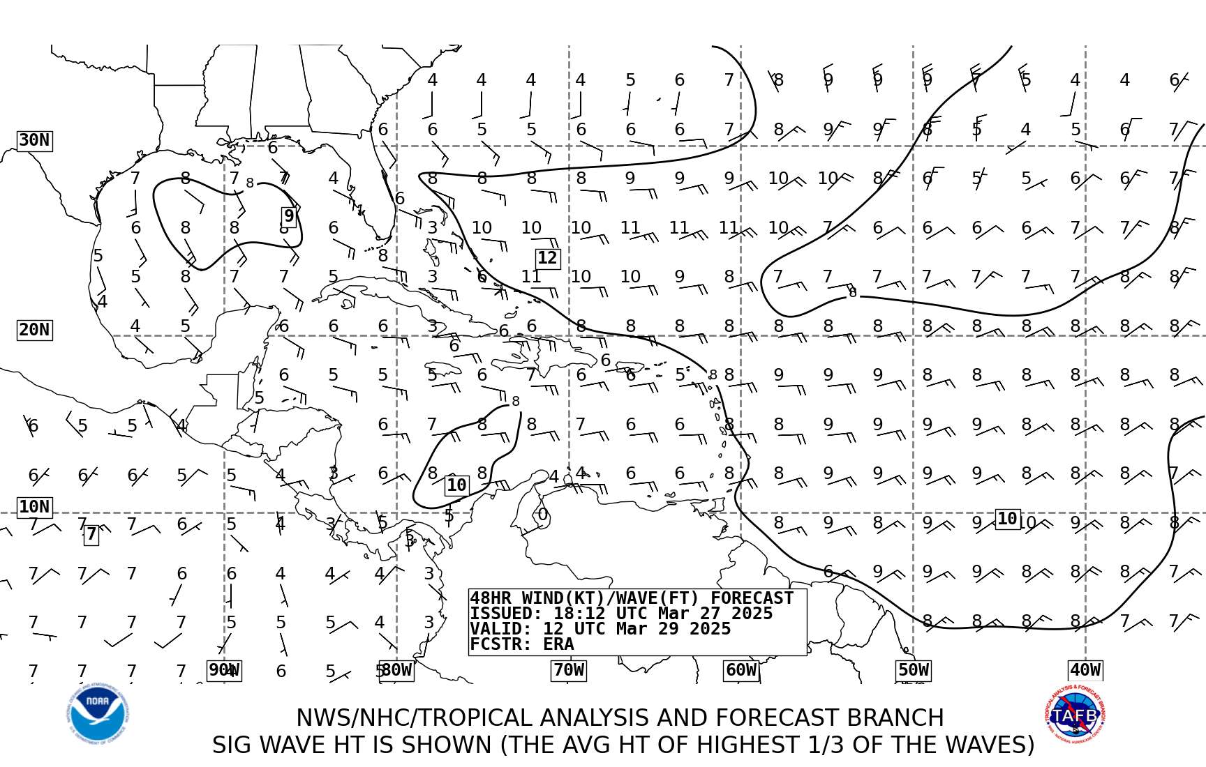
Hereis the TWD map with the wave they are talking about at 35 west.
http://www.nhc.noaa.gov/tafb/ATSA_12Z.gif
0 likes


-
SouthFloridawx
- S2K Supporter
- Posts: 8346
- Age: 47
- Joined: Tue Jul 26, 2005 1:16 am
- Location: Sarasota, FL
- Contact:
18Z GFS is picking up on this wave and developing some stuff behind it.
It could get very active here in the next few weeks.

EDIT to say it is picking up on this wave.
It could get very active here in the next few weeks.
EDIT to say it is picking up on this wave.
Last edited by SouthFloridawx on Thu Aug 31, 2006 6:02 pm, edited 1 time in total.
0 likes
-
ConvergenceZone
- Category 5
- Posts: 5241
- Joined: Fri Jul 29, 2005 1:40 am
- Location: Northern California
ConvergenceZone wrote:Hey luis, where's a good source for latitude and longitude maps?? I can't tell by looking at the satellite pics what position 35w is at..., sorry....
oops nevermind Luis, for some reason the satellite feeds I was using wasn't showing the lat/long, but I noticed the one you posted has what I was looking for, so thanx anyway....
0 likes
-
ConvergenceZone
- Category 5
- Posts: 5241
- Joined: Fri Jul 29, 2005 1:40 am
- Location: Northern California
SouthFloridawx wrote:ConvergenceZone wrote:Hey luis, where's a good source for latitude and longitude maps?? I can't tell by looking at the satellite pics what position 35w is at..., sorry....
Hereis the TWD map with the wave they are talking about at 35 west.
http://www.nhc.noaa.gov/tafb/ATSA_12Z.gif
thanks!
0 likes
-
SWFLA_CANE

- Tropical Storm

- Posts: 196
- Joined: Tue Jun 06, 2006 6:41 pm
- Location: Naples, Florida
-
HurricaneMaster_PR

- Category 2

- Posts: 795
- Joined: Tue Jul 22, 2003 6:23 pm
- Location: San Juan, Puerto Rico
-
ConvergenceZone
- Category 5
- Posts: 5241
- Joined: Fri Jul 29, 2005 1:40 am
- Location: Northern California
SWFLA_CANE wrote:It appears the models are devloping one or in gfs case two waves and turing them north into fish.
very possible. If by chance the wave at 35W develops though, it won't be a fish. It's going to keep on plowing westward. Maybe when it gets into the Carib we will have something.
0 likes
Who is online
Users browsing this forum: Ulf and 155 guests