Here is the latest update from BoM.
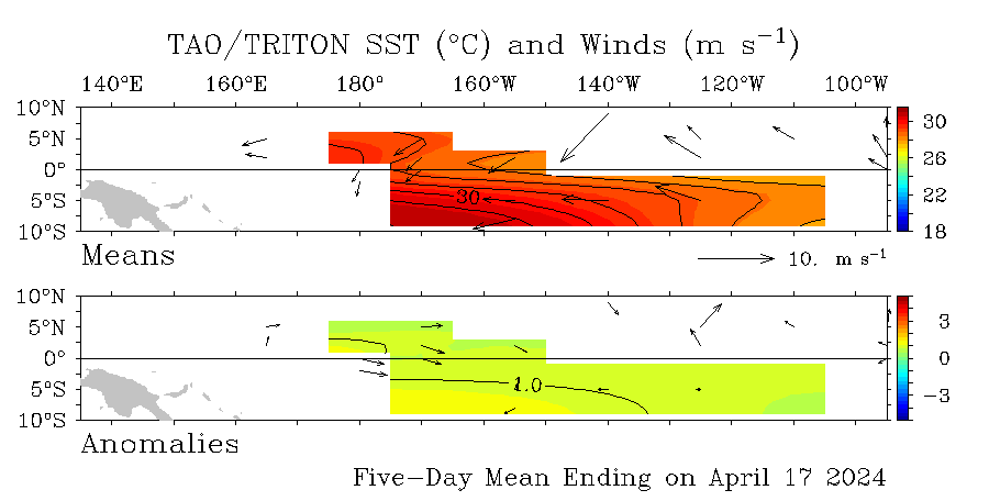
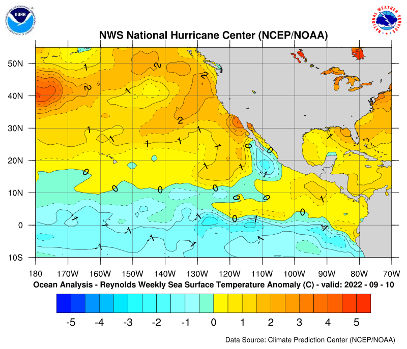
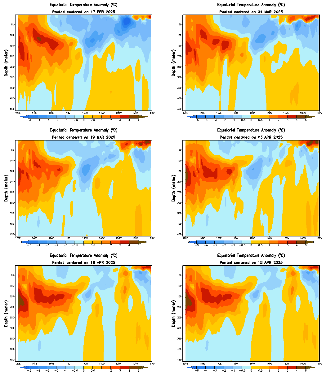
Weakening Trade Winds in the western Pacific and a drop in the SOI, has stopped the recent strengthening of La Niña indicators. However, the eastern Pacific remains cooler than average and there has been a renewal of a cool sub-surface layer in the central Pacific, both of which provide the potential for a La Niña development.
The fact that all major international coupled models, including the POAMA model run daily at the Bureau of Meteorology, forecast further cooling of the equatorial Pacific Ocean over the coming months, indicates there is a distinct possibility of a La Niña event occurring in 2007. Cooler than average waters in the central to eastern Pacific, normally accompanied by positive SOI values, are usually associated with wetter than average seasons over eastern and northern Australia, even if La Niña thresholds are not reached.
Read the whole update at link above.It's a little change from their past update as now,they see a slower pattern towards La Nina but that eventually later this year it will show up.IMO,it will be Neutral during the peak of the season.Distint from 2006 that by July there were first signs of El Nino comming,this year there are none,so in that regard I say with confidence in a 100% that we wont see El Nino.


