Long-Term Model Runs

This is the general tropical discussion area. Anyone can take their shot at predicting a storms path.

Moderator: S2k Moderators

Forum rules

The posts in this forum are NOT official forecasts and should not be used as such. They are just the opinion of the poster and may or may not be backed by sound meteorological data. They are NOT endorsed by any professional institution or STORM2K. For official information, please refer to products from the National Hurricane Center and National Weather Service.

Help Support Storm2K
Message
Author
BocaGirl
S2K Supporter
S2K Supporter
Posts: 279
Joined: Thu Oct 10, 2002 5:17 am
Location: Boca Raton, FL

Re: Long-Term Model Runs

#181 Postby BocaGirl » Sun Aug 19, 2007 9:30 pm

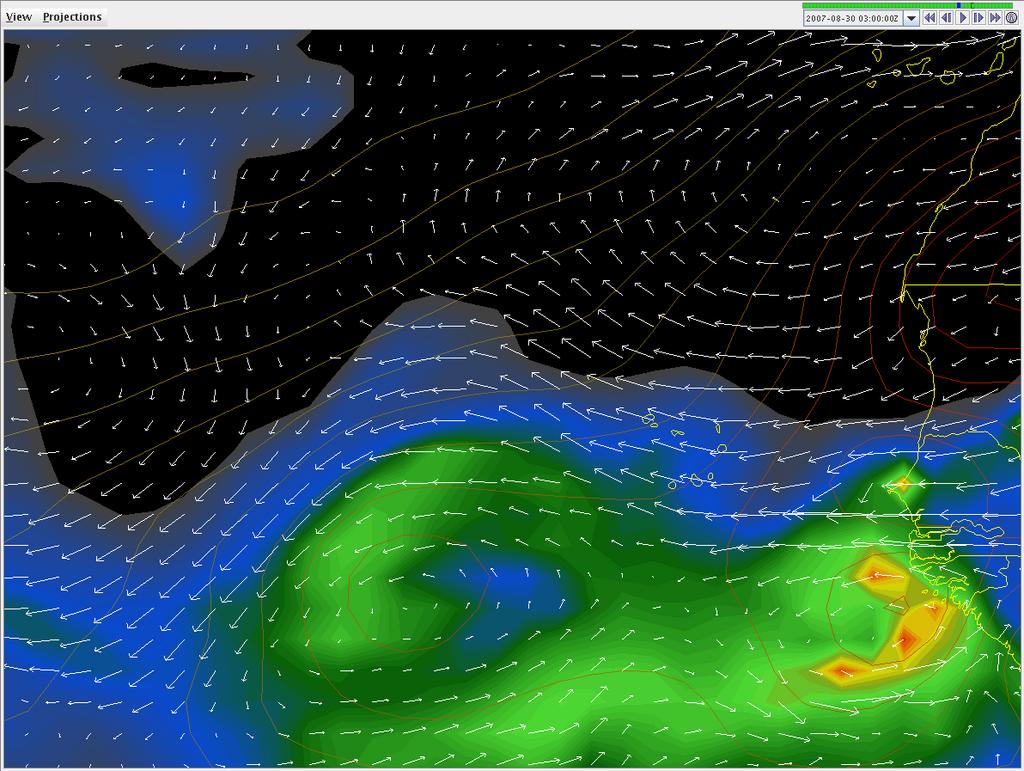
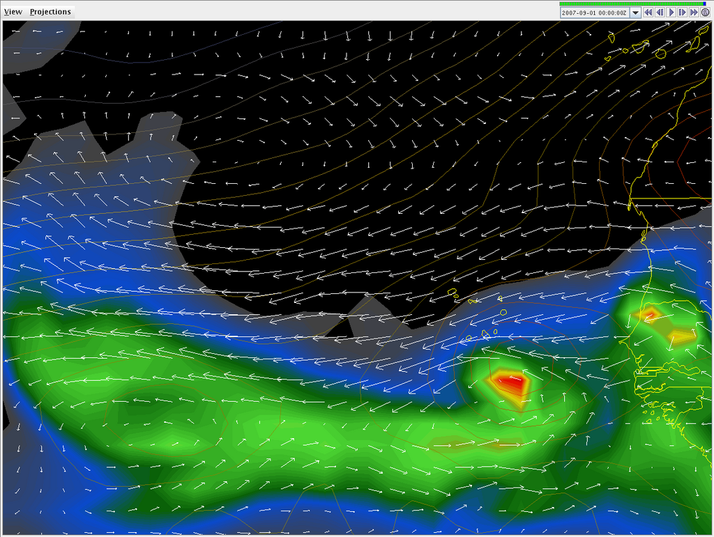
jimvb wrote:There is apparently going to be some sort of storm on September 1. The last eight GFS runs have shown this storm, with some consistency. Here is the GFS string for this storm (Felix, Gabrielle, whatever):

56966548

The key for this is:
(snipped for brevity)
5 - Up Florida way (peninsula) (FLOW)


Wow, I sure hope it doesn't materialize at all, let alone hit 5. (FLOW), especially South FLOW. That's the night of the End of Summer Storm2K Gathering in South Florida. We're planning a really great evening, and a storm just doesn't fit into the plans!

The party starts at 7:00 PM on Saturday, Sept 1 at Brus Room in Pompano Beach. All Storm2k members over 18 and their guests are invited. Watch Storm2k for more details and mark your calendars now!

BocaGirl
Barbara
0 likes   

User avatar
cycloneye
Admin
Admin
Posts: 145299
Age: 68
Joined: Thu Oct 10, 2002 10:54 am
Location: San Juan, Puerto Rico

Re: Long-Term Model Runs

#182 Postby cycloneye » Tue Aug 21, 2007 7:44 am

GFS is speaking here,although is 16 days out.Lets watch in the comming days and runs as GFS performed in an excellent way with DEAN.

http://www.nco.ncep.noaa.gov/pmb/nwprod ... n_384l.gif
0 likes   

User avatar
cycloneye
Admin
Admin
Posts: 145299
Age: 68
Joined: Thu Oct 10, 2002 10:54 am
Location: San Juan, Puerto Rico

Re: Long-Term Model Runs

#183 Postby cycloneye » Tue Aug 21, 2007 12:12 pm

12z 8/21/07 GFS Loop

This run shows interesting things in the long range.Since GFS made that great performance with Dean,I would not take an eye off what GFS is showing in each run,although we know that after 10 days large errors arise.
0 likes   

Stormcenter
S2K Supporter
S2K Supporter
Posts: 6684
Joined: Wed Sep 03, 2003 11:27 am
Location: Houston, TX

Re: Long-Term Model Runs

#184 Postby Stormcenter » Tue Aug 21, 2007 1:03 pm

cycloneye wrote:12z 8/21/07 GFS Loop

This run shows interesting things in the long range.Since GFS made that great performance with Dean,I would not take an eye off what GFS is showing in each run,although we know that after 10 days large errors arise.


I don't see much out there of any consequence considering we are talking prime time right now for development. Who knows maybe Dean will be a bad as it gets in 2007.
0 likes   

User avatar
DESTRUCTION5
Category 5
Category 5
Posts: 4423
Age: 43
Joined: Wed Sep 03, 2003 11:25 am
Location: Stuart, FL

Re: Long-Term Model Runs

#185 Postby DESTRUCTION5 » Tue Aug 21, 2007 1:05 pm

Stormcenter wrote:
cycloneye wrote:12z 8/21/07 GFS Loop

This run shows interesting things in the long range.Since GFS made that great performance with Dean,I would not take an eye off what GFS is showing in each run,although we know that after 10 days large errors arise.


I don't see much out there of any consequence considering we are talking prime time right now for development. Who knows maybe Dean will be a bad as it gets in 2007.


Umm..I certainly hope dean is as bad as it gets...
0 likes   

User avatar
Meso
Category 5
Category 5
Posts: 1609
Age: 38
Joined: Mon Aug 09, 2004 12:14 pm
Location: South Africa
Contact:

#186 Postby Meso » Tue Aug 21, 2007 1:33 pm

Image
0 likes   

User avatar
Meso
Category 5
Category 5
Posts: 1609
Age: 38
Joined: Mon Aug 09, 2004 12:14 pm
Location: South Africa
Contact:

#187 Postby Meso » Wed Aug 22, 2007 3:54 am

Image
0 likes   

User avatar
Meso
Category 5
Category 5
Posts: 1609
Age: 38
Joined: Mon Aug 09, 2004 12:14 pm
Location: South Africa
Contact:

#188 Postby Meso » Wed Aug 22, 2007 6:41 am

Image
As the runs go on (argh that sounds wrong.) The GFS seems to want to deepen this system more,previous run it weakened it by 384 now it's stronger.

Very far out and not likely to happen,but who knows.. It got Dean.
0 likes   

Frank2
Category 5
Category 5
Posts: 4061
Joined: Mon Jul 25, 2005 12:47 pm

Re: Long-Term Model Runs

#189 Postby Frank2 » Wed Aug 22, 2007 8:10 am

Well, the squirrels have been busy around here lately, so, perhaps an early Fall is upon us...

LOL

P.S. Some pretty chilly cool fronts (for August) have been moving southward lately (it was in mid-40's on Saturday morning in the northern midwest), so, perhaps there is something to that...

P.P.S. You can tell it's quiet out there - when something is east of us, I'm usually busy planning my EVAC route (thankfully it worked for Andrew and Wilma, that's for sure)...
0 likes   

User avatar
Meso
Category 5
Category 5
Posts: 1609
Age: 38
Joined: Mon Aug 09, 2004 12:14 pm
Location: South Africa
Contact:

#190 Postby Meso » Fri Aug 24, 2007 5:57 am

Image
0 likes   

User avatar
Meso
Category 5
Category 5
Posts: 1609
Age: 38
Joined: Mon Aug 09, 2004 12:14 pm
Location: South Africa
Contact:

#191 Postby Meso » Fri Aug 24, 2007 11:32 am

Image
Showing a little something sooner than the previous runs

Image

Image
Last edited by Meso on Fri Aug 24, 2007 1:41 pm, edited 1 time in total.
0 likes   

User avatar
storms in NC
S2K Supporter
S2K Supporter
Posts: 2338
Joined: Thu Jul 28, 2005 2:58 pm
Location: Wallace,NC 40 miles NE of Wilm
Contact:

#192 Postby storms in NC » Fri Aug 24, 2007 1:09 pm

About right. Brother's Bday is Sept 6th. Mother nature loves him LOL

Deb
0 likes   

User avatar
weatherman21
Tropical Depression
Tropical Depression
Posts: 67
Joined: Mon Apr 23, 2007 11:07 am

Re: Long-Term Model Runs

#193 Postby weatherman21 » Fri Aug 24, 2007 1:52 pm

After watching the recent model runs of the WRF for the west Atlantic, I quickly found that the WRF failed to stay persistant with a possible cyclone which it was predicting. I continued to observe one after another of the model runs of the WRF and it appeared to rank low in staying consistant. The cyclone that the WRF was predicting never developed. Oh well. However, I am gaining more confidence with the Global GFS and even more so now after the great performance of the GFS with Hurricane Dean. The GFS really did excellent with that hurricane. The GFS also never indicated any such cyclone developing in the west Atlantic as opposed the the WRF model. The GFS turned out correct in that scenerio.

I have also been following the GFS recently and it appears the GFS is beginning to detect an area of low pressure which will track off Africa near the end of the model run. I guess consistancy is what to look for and not so much a single model run. I'll be following the future trends of the model and for now am considering it no more than a possibility.
A few screen captures below show the 12Z GFS forecast for the long-term and the possible area of low pressure tracking off the west African coast:

GFS Forecast for 3Z on 8/30: (next Thursday)
Image

GFS Forecast for 0Z on 9/01:
Image

GFS Long-Range Forecast for 9/06:
Image
0 likes   

User avatar
KWT
Category 5
Category 5
Posts: 31415
Joined: Tue Aug 17, 2004 11:02 am
Location: UK!!!

#194 Postby KWT » Fri Aug 24, 2007 2:18 pm

Well the 12z pumps out at least 3 closed lows during its run, the first as early as 102hrs which eventually tracks towards the Caribbean on a track similar to Dean (though the extended range section of the GFS loses it due to lack of resultion) then you have another shortly after that (the one weatherman21 post shows) which is stronger and eventually recurves about 360hrs in lalaland of the GFS while another system develops around 288hrs
0 likes   

User avatar
crownweather
S2K Supporter
S2K Supporter
Posts: 595
Age: 50
Joined: Sat Aug 12, 2006 9:21 am
Location: Sturbridge, Massachusetts
Contact:

#195 Postby crownweather » Fri Aug 24, 2007 2:33 pm

12Z ECMWF model shows a tropical cyclone of some sort in the eastern Atlantic forming in 144 hours. It also shows at least a couple of weak lows in the far western Caribbean next week flirting with Panama and Nicaragua. I think we will have multiple areas to watch closely next week. Thoughts welcome on both areas, especially the far western Caribbean as some of the models indicate a westward course into the Pacific while some of the others indicate a more northwest course just inland from Nicaragua to the Yucatan Peninsula.
0 likes   

User avatar
Meso
Category 5
Category 5
Posts: 1609
Age: 38
Joined: Mon Aug 09, 2004 12:14 pm
Location: South Africa
Contact:

#196 Postby Meso » Fri Aug 24, 2007 3:13 pm

Busy busy
Image
0 likes   

User avatar
cycloneye
Admin
Admin
Posts: 145299
Age: 68
Joined: Thu Oct 10, 2002 10:54 am
Location: San Juan, Puerto Rico

Re: Long-Term Model Runs

#197 Postby cycloneye » Fri Aug 24, 2007 5:35 pm

18z GFS at 144 hours

:uarrow: :uarrow: :uarrow: :uarrow:

Umm,the switch will be up sooner rather than later.
0 likes   

User avatar
Emmett_Brown
Category 5
Category 5
Posts: 1432
Joined: Wed Aug 24, 2005 9:10 pm
Location: Sarasota FL

Re: Long-Term Model Runs

#198 Postby Emmett_Brown » Fri Aug 24, 2007 6:27 pm

cycloneye wrote:18z GFS at 144 hours

:uarrow: :uarrow: :uarrow: :uarrow:

Umm,the switch will be up sooner rather than later.


Yes, and the first low shows up late Monday, which is not far off:

http://www.nco.ncep.noaa.gov/pmb/nwprod/analysis/carib/gfs/18/images/gfs_ten_078l.gif
0 likes   

User avatar
weatherman21
Tropical Depression
Tropical Depression
Posts: 67
Joined: Mon Apr 23, 2007 11:07 am

Re: Long-Term Model Runs

#199 Postby weatherman21 » Fri Aug 24, 2007 7:15 pm

The 18Z GFS run is similar to the 12Z run from this morning. The 18Z run is predicting this area of low pressure to track offshore the west African coast at about the same time as the previous model run.
The 18Z run is also predicting the low pressure area to be somewhat stronger as well.

18Z GFS model Forecast for 6Z on 9/01; Wind vectors are at 700MB:
Image

The next image is the forecast for the same time with wind vectors at 850MB:
Image
0 likes   

Derek Ortt

#200 Postby Derek Ortt » Fri Aug 24, 2007 7:33 pm

there is a system about to emerge and there is little SAL
0 likes   


Return to “Talkin' Tropics”

Who is online

Users browsing this forum: Ulf and 20 guests