

Moderator: S2k Moderators


flwxwatcher wrote:High pressure is forecast to build in and the SW Atlantic would be an area I would be looking next week. The EURO and GFS are hinting at this as well.. Maybe a Gabrielle type development??
http://www.ecmwf.int/products/forecasts ... 7091212!!/
http://www.ecmwf.int/products/forecasts ... 7091212!!/
http://www.nco.ncep.noaa.gov/pmb/nwprod ... /fpc.shtml
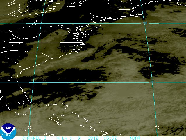
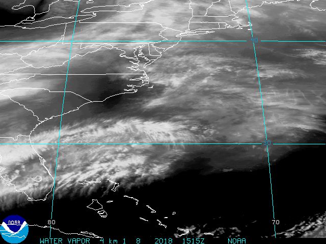
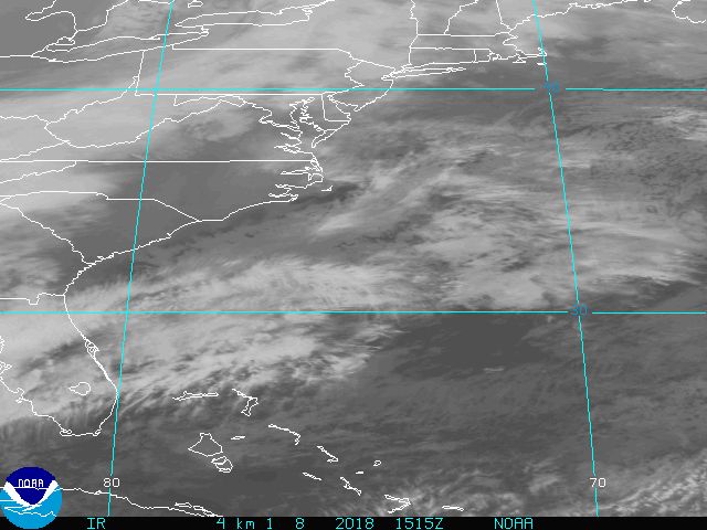
Stratosphere747 wrote:This is the area that the latest model runs have dropping into the GOM and moving west..
Still quite skeptical....
boca wrote:Stratosphere747 wrote:This is the area that the latest model runs have dropping into the GOM and moving west..
Still quite skeptical....
I wonder how far south this will go before it scoots west.
skysummit wrote:Hmmm.....look at the wind barbs....

skysummit wrote:Hmmm.....look at the wind barbs....
Users browsing this forum: Google Adsense [Bot] and 207 guests


