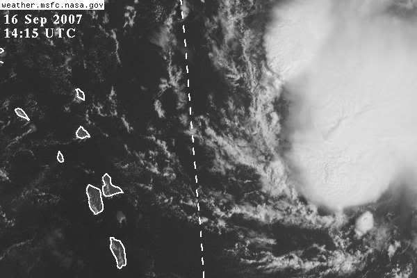
Derek Ortt wrote:it would be a minimal TS... you only need about 6 hours worth of lead time for a minimal TS
besides, the NHC does not issue these watches, the gov'ts of the Caribbean and France issue the watches and warnings
Derek what happened to that 500MB High that was supposed to build into the Western Atlantic by mid week this week?
Is the NHC counting on Ingrid getting recurved by the trough first?
Seems like there is the possibility she doesn't turn north and ends up on a WNW to W path then the high builds in north of her and conditions improve?