HarlequinBoy wrote:
That's what I've been thinking. I must say, I'm surprised the winds aren't higher... but the data I guess doesn't support it.
Well they did have in the mid 90s for sustained wind.
Moderator: S2k Moderators

HarlequinBoy wrote:
That's what I've been thinking. I must say, I'm surprised the winds aren't higher... but the data I guess doesn't support it.
hurricanefloyd5 wrote:The pressure in H.Dolly down to 972 sounds to me like it's dropped enought to be a cat.2 maybe close to a cat.3 storm? A weak Cat.3??????


HarlequinBoy wrote:
That's what I've been thinking. I must say, I'm surprised the winds aren't higher... but the data I guess doesn't support it.


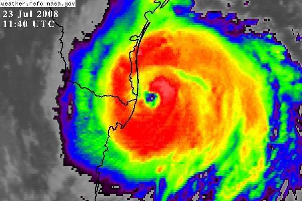
HURAKAN wrote:Diva wrote:OMG, it IS star shaped! The Lone Star for Texas huh?
Wow, it's true. It looks like the center is a five-pointed star. Interesting.


Air Force Met wrote:HarlequinBoy wrote:
That's what I've been thinking. I must say, I'm surprised the winds aren't higher... but the data I guess doesn't support it.
Its seems awful presumptuous to me (not of you...) to assume that you are gathering the absolute highest winds when you are at 10K feet and are a dot in one piece of a quad. Mind you they aren't even flying in the east or north quads since it isn't the "ALPHA" pattern.
I'm sorry...but when I see a 972mb pressure...and meso's rotating in the eyewall (and even a dropsounde with 82 kts at the sfc)...and the storm isn't rapidly falling apart over 20C water..then I know I have a cat 2.
Again..just my opinion...
paintplaye wrote:Looks pretty impressive on IR. Also look at moisture it is bringing up, could bring more showers for SE Texas tomm.
http://www.goes.noaa.gov/HURRLOOPS/gulfir.html


HURAKAN wrote:114630 2549N 09637W 6969 02855 9661 +147 +090 172010 012 000 005 03
extra: 966 mb
Users browsing this forum: No registered users and 27 guests