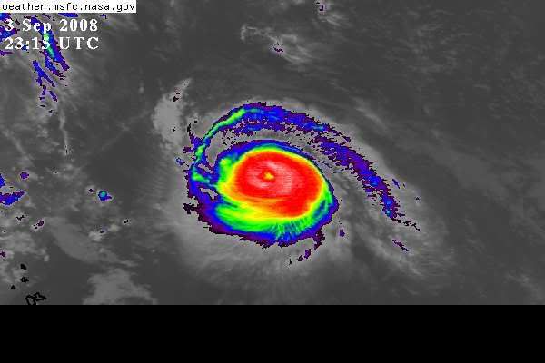
Weatherfreak000 wrote:Storm is clearly moving way faster then the NHC forecasts....and the globals seem to be missing this...except perhaps the GFDL model.
GFDL seems to be showing the storm's current movement very well.
I don't think its moving that much faster. Go back to the advisory from yesterday and compare it to where it was supposed to be by 5pm today. Its roughly the same longitude (though they missed the latitude a little).
Look at the 09z forecast from this morning. Its actually 20 miles SLOWER. Its 20 miles ENE of where it was supposed to be.
So...its moving at about the forecasted speed.