I don't like "the threat increasing father east" comment. It's early and I live in the hurricane buffer zone so I am not too concerned yet.rockyman wrote:New blog from ABC33/40 in Birmingham
"Ike Potentially Trouble"
http://www.alabamawx.com/
ATL: IKE Discussion
Moderator: S2k Moderators


-
stormchaserCP
- Tropical Low

- Posts: 24
- Joined: Thu Sep 09, 2004 4:07 pm
- Location: Norman, OK
Re: ATL IKE: Category 3 - Discussion
I just want to correct an error I see a lot of people here making. Assuming a particular NWP model has any skill at all, then all other factors being equal, whatever solution it has at a given time is the most likely one. Unless you're aware of a model bias that makes a particular solution unlikely (e.g. the model tends to underestimate ridges so the real track is more likely to be south of the forecast than north), then you should view that solution as the most likely outcome. The probability of the model solution nearly matching reality 5 days out is generally quite low, however, it does not change the fact that it is the *most probable* outcome based solely on that model (of course, the best forecasts use an ensemble of models). Therefore, it doesn't make sense to say that a particularly threatening 5-day model solution is a "good thing" by virtue of it being 5+ days out.
0 likes
-
Sabanic

- Category 2

- Posts: 683
- Age: 66
- Joined: Wed Aug 01, 2007 7:01 am
- Location: Mobile, AL
- Contact:
Re:
KWT wrote:Most models seem to be closing it on either a Miami-Dada or Keys hit. Even the GFDL which is quite decently to the south of the rest of the guidence would give Key West a mighty big hit probably from the eastern side of the core.
Also starting to look like Ike in the GOM may be a certainty
0 likes

Re:
KWT wrote:hsvwx, yep looks like Ike is now slowly heading into a region of less shear which is not a good thing for the islands in the way of it in the next 36-48hrs.
I see the SE Bahamas and the T&C have issued hurricane warnings, not all that surprising really they are needed.
Current estimate based on dropsonde would be 105kts, they could with 110kts but nothing at FL supports that sort of raise just yet...certainly surprising to see though given the presentation isn't too stunning right now though it is slowly improving.
We do not have a hurricane "warning" here in the Turks & Caicos....it stands now at a "watch"
Why don't they upgrade it to a "warning" as we know IKE is going to hit us.
I just don't get it....
Gretchen
0 likes
-
jlauderdal
- S2K Supporter

- Posts: 7240
- Joined: Wed May 19, 2004 5:46 am
- Location: NE Fort Lauderdale
- Contact:
Re: ATL IKE: Category 3 - Discussion
stormchaserCP wrote:I just want to correct an error I see a lot of people here making. Assuming a particular NWP model has any skill at all, then all other factors being equal, whatever solution it has at a given time is the most likely one. Unless you're aware of a model bias that makes a particular solution unlikely (e.g. the model tends to underestimate ridges so the real track is more likely to be south of the forecast than north), then you should view that solution as the most likely outcome. The probability of the model solution nearly matching reality 5 days out is generally quite low, however, it does not change the fact that it is the *most probable* outcome based solely on that model (of course, the best forecasts use an ensemble of models). Therefore, it doesn't make sense to say that a particularly threatening 5-day model solution is a "good thing" by virtue of it being 5+ days out.
how about this, its good to be at the 5 day nhc point because of their error at 5 days out?
0 likes
-
jlauderdal
- S2K Supporter
- Posts: 7240
- Joined: Wed May 19, 2004 5:46 am
- Location: NE Fort Lauderdale
- Contact:
Re: Re:
greels wrote:KWT wrote:hsvwx, yep looks like Ike is now slowly heading into a region of less shear which is not a good thing for the islands in the way of it in the next 36-48hrs.
I see the SE Bahamas and the T&C have issued hurricane warnings, not all that surprising really they are needed.
Current estimate based on dropsonde would be 105kts, they could with 110kts but nothing at FL supports that sort of raise just yet...certainly surprising to see though given the presentation isn't too stunning right now though it is slowly improving.
We do not have a hurricane "warning" here in the Turks & Caicos....it stands now at a "watch"
Why don't they upgrade it to a "warning" as we know IKE is going to hit us.
I just don't get it....
Gretchen
because the warning criteria is not met, the watch criteria is thus you have a watch..
0 likes
-
sfwx

- Category 1

- Posts: 371
- Age: 60
- Joined: Thu Sep 04, 2003 1:53 pm
- Location: Rural St. Lucie County, Fl
Re: ATL IKE: Category 3 - Discussion
We just received this e-mail from our school district office:
While it is still far too early to predict with certainty the impact of this major hurricane on St. Lucie County I do want to pass along a couple of points I've learned today.
1) Port Everglades is closing today and gasoline supplies will become potentially limited the closer to landfall Ike gets, so top off your tanks and if you need fuel for a generator get it today or tomorrow.
2) Ike is a major hurricane, do not take it lightly, better to have over planned than be caught short. A family plan is a necessity.
3) Remember that e-banking gets interupted when power is off so if you anticipate needing cash, decide early enough to meet your needs if you use any form of ATM or e-banking services.
4) If there is a weather event that impacts us the Savannas are already full of water and only drain naturally. Another heavy rain event will assuredly cause heavy street flooding east of US 1.
5) Announcements will be forthcoming late Sunday about a more current status for schooling, sheltering etc.....so stay tuned to our website, the county website and our TV channels
Be Safe....Be Smart
0 likes
-
Brent
- S2K Supporter
- Posts: 38735
- Age: 37
- Joined: Sun May 16, 2004 10:30 pm
- Location: Tulsa Oklahoma
- Contact:
Re: Re:
greels wrote:KWT wrote:hsvwx, yep looks like Ike is now slowly heading into a region of less shear which is not a good thing for the islands in the way of it in the next 36-48hrs.
I see the SE Bahamas and the T&C have issued hurricane warnings, not all that surprising really they are needed.
Current estimate based on dropsonde would be 105kts, they could with 110kts but nothing at FL supports that sort of raise just yet...certainly surprising to see though given the presentation isn't too stunning right now though it is slowly improving.
We do not have a hurricane "warning" here in the Turks & Caicos....it stands now at a "watch"
Why don't they upgrade it to a "warning" as we know IKE is going to hit us.
I just don't get it....
Gretchen
Hurricane Warning:
A warning that sustained winds 64 kt (74 mph or 119 km/hr) or higher associated with a hurricane are expected in a specified coastal area in 24 hours or less. A hurricane warning can remain in effect when dangerously high water or a combination of dangerously high water and exceptionally high waves continue, even though winds may be less than hurricane force.
Hurricane Watch:
An announcement for specific coastal areas that hurricane conditions are possible within 36 hours.
0 likes
-
Wx_Warrior
- Category 5

- Posts: 2718
- Joined: Thu Aug 03, 2006 3:58 pm
- Location: Beaumont, TX
Re: ATL IKE: Category 3 - Discussion
To the NHC's credit, they have been pretty good with a 5-day out cone.
0 likes
-
Chigger_Lopez
- Tropical Depression

- Posts: 72
- Joined: Thu Sep 11, 2003 10:11 pm
- Location: Jupiter, FL
Re: ATL IKE: Category 3 - Discussion
I am probably the only one who hasnt seen this site but this is a great page for info on Ike
http://raleighwx.easternuswx.com/models.html
http://raleighwx.easternuswx.com/models.html
0 likes
-
Bocadude85

- Category 5
- Posts: 2991
- Age: 39
- Joined: Mon Apr 18, 2005 2:20 pm
- Location: Honolulu,Hi
Re: ATL IKE: Category 3 - Discussion
sfwx wrote:We just received this e-mail from our school district office:
While it is still far too early to predict with certainty the impact of this major hurricane on St. Lucie County I do want to pass along a couple of points I've learned today.
1) Port Everglades is closing today and gasoline supplies will become potentially limited the closer to landfall Ike gets, so top off your tanks and if you need fuel for a generator get it today or tomorrow.
2) Ike is a major hurricane, do not take it lightly, better to have over planned than be caught short. A family plan is a necessity.
3) Remember that e-banking gets interupted when power is off so if you anticipate needing cash, decide early enough to meet your needs if you use any form of ATM or e-banking services.
4) If there is a weather event that impacts us the Savannas are already full of water and only drain naturally. Another heavy rain event will assuredly cause heavy street flooding east of US 1.
5) Announcements will be forthcoming late Sunday about a more current status for schooling, sheltering etc.....so stay tuned to our website, the county website and our TV channels
Be Safe....Be Smart
would would they be already closing the port down??
0 likes
-
jlauderdal
- S2K Supporter
- Posts: 7240
- Joined: Wed May 19, 2004 5:46 am
- Location: NE Fort Lauderdale
- Contact:
Re: ATL IKE: Category 3 - Discussion
Wx_Warrior wrote:To the NHC's credit, they have been pretty good with a 5-day out cone.
yes they have but being at there 5 day point really isnt such a bad place to be, i guess i would rather be there than at a point say 150 miles on either side, when was the last time they hit it say within 50 miles at 5 days, therefore being on that point is so bad, i was basically on that point last night and felt pretty good and we are already 100 miles or so north of it and looking at an even bigger spread based on the newest runs
0 likes
-
Canelaw99

- S2K Supporter
- Posts: 2128
- Age: 49
- Joined: Tue Aug 31, 2004 8:27 am
- Location: Homestead, FL
Re: ATL IKE: Category 3 - Discussion
jlauderdal wrote:when was the last time they hit it say within 50 miles at 5 days,
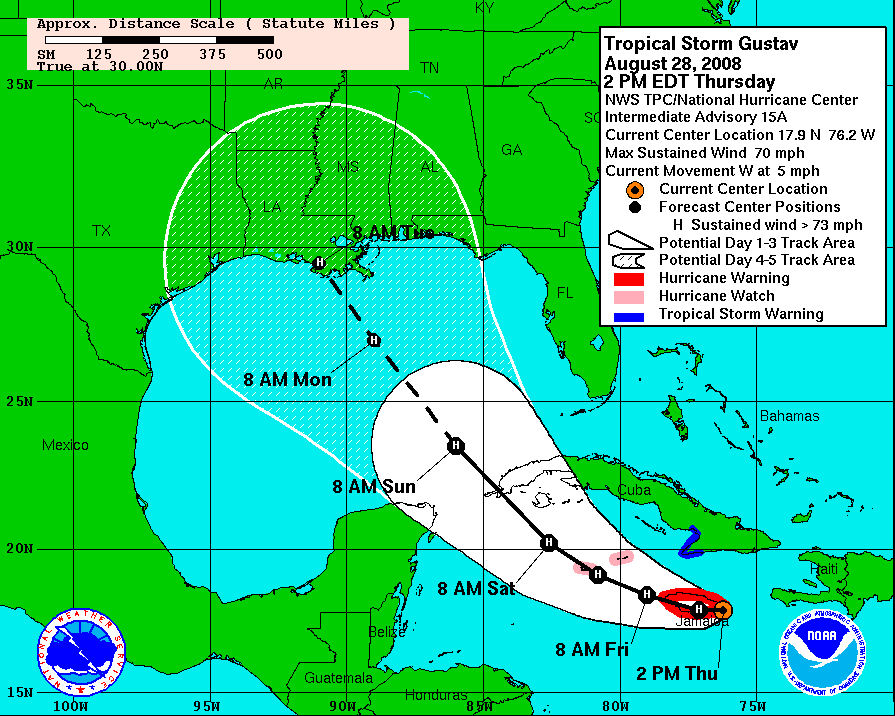
Wasn't that about how accurate they were with Gustav??
0 likes
Re: ATL IKE: Category 3 - Discussion
I posted this after the 11 am update...but sometimes it is helpful to take a step back and see very clearly what the threat of certain wind thresholds the NHC has assigned as of the last update. I will update again at 5pm...
Trend of cumulative probability of the areas experiencing 34kt, 50kt, 64kt in the forecast period (120 hours). The first % is what was forecast with 11pm Thursday advisory, the second was the forecast with the 5am friday advisory, the third % (in bold) is the current friday 11 am forecast probability.
The cities with the overall highest probability of any location are underlined. Miami and Marathon have the overall highest risks of experiencing those wind thresholds as of 11am update. Trend is for Keys to be increasing in risk quickly, Miami increasing at slower rate (but overall highest risk), West Palm has held steady, and Fort Pierce went down in % probability as of last advisory.
Fort Pierce
34kt 30%-34%-33%
50kt 13%-15%-13%
64kt 5%-8%-7%
West Palm Beach
34kt 35%-40%-40%
50kt 14%-18%-18%
64kt 7%-9%-9%
Miami
34kt 35%-42%-45%
50kt 16%-21%-22%
64kt 8%-11%-12%
Marathon
34kt 28%-37%-44%
50kt 13%-19%-22%
64kt 9%-11%-13%
Key West
34kt 24%-33%-39%
50kt 12%-16%-22%
64kt 7%-10%-12%
0 likes
-
superfly
Re: ATL IKE: Category 3 - Discussion
jlauderdal wrote:yes they have but being at there 5 day point really isnt such a bad place to be, i guess i would rather be there than at a point say 150 miles on either side, when was the last time they hit it say within 50 miles at 5 days
0 likes
-
jlauderdal
- S2K Supporter
- Posts: 7240
- Joined: Wed May 19, 2004 5:46 am
- Location: NE Fort Lauderdale
- Contact:
Re: ATL IKE: Category 3 - Discussion
Canelaw99 wrote:jlauderdal wrote:when was the last time they hit it say within 50 miles at 5 days,
Wasn't that about how accurate they were with Gustav??
they really nailed gustav and that was the exception to the rule, if it wasnt 50 miles i bet it was damn close, i would still take my chances at 5 days
0 likes
-
Canelaw99
- S2K Supporter
- Posts: 2128
- Age: 49
- Joined: Tue Aug 31, 2004 8:27 am
- Location: Homestead, FL
Re: ATL IKE: Category 3 - Discussion
LOL I agree with ya, but I would feel better if they hadn't nailed a storm at 5 days just 2 weeks ago
0 likes
Who is online
Users browsing this forum: No registered users and 27 guests