#5454 Postby N2Storms » Mon Sep 08, 2008 12:06 pm
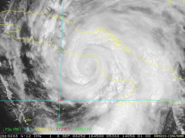
[quote="Sabanic"][quote="inda_iwall"]I think the further south, the longer it takes until landfall which will only make it landfall further east, and the short time over cuba makes it stronger and heads more poleward, I believe landfall in SE LA, and into MS, AL is no longer out of possibility, especially if it slows more and spends more time down south and allows the high to weaken and/or move off. What so people tink of this possibility. This is just my own non-met thought process. [b]Although from the stale hot air we have in place here in NGC, that high does not seem to be weakening.[/b][/quote]
It is not weakening, and is not forecast to begin weakening until Wednesday. That's when we are supposed to get the return of Showers & Thunderstorms. All the things you mention though do make sense. My point is that if you look at the NHC's forecast track 24 hours ago, Ike is not following it. That's 24 hours. What a difference 96 - 144 could make.[/quote]
Our local Met here in PC mentioned last night that it was not out of the realm of possibility that Ike would go a bit farther south and west than forecasted by the NHC...by mid week the High is supposed to become suppressed and it may cause Ike to slow down considerably in the Gulf...if he is still in the Gulf on Friday or Saturday then the next trough sweeping down from the NW would be strong enough to shunt Ike NEwd towards Miss ro Alabama this weekend...
I'm not in any way stating that this is what I think will happen...merely throwing out what one of our local mets offered up last night as a possible scenario...
0 likes


