ATL: IKE Discussion
Moderator: S2k Moderators

-
DESTRUCTION5

- Category 5

- Posts: 4430
- Age: 44
- Joined: Wed Sep 03, 2003 11:25 am
- Location: Stuart, FL
Re: ATL IKE: Category 1 - Discussion
Sanibel wrote:A stall would mean slower forward speed and therefore more time for a trough to pull it north on the Texas coast. Hang on we could see some track changes from this.
Or could give time for Ridge to build in strong and send him due west till landfall in Southern TX...Like Ikes Deceased Brother Andrew..
0 likes

Re: ATL IKE: Category 1 - Discussion
txag2005 wrote:ColdFusion wrote:txag2005 wrote:Has Ike stalled? I read this on another board.
If so, what impact does that have on the track? I have a bad feeling that fares worse for us in Houston/Galveston currently northeast of the track.
No indication Ike has stalled.
I've seen some people mention this. I think its b/c in the latest advisory the NHC said the center has not moved much in the last few hours. I guess stationary is a better word.
ALTHOUGH THE CENTER OF IKE MOVED LITTLE OVER THE PAST FEW HOURS...
0 likes

Re: Re:
Aristotle wrote:Aristotle wrote:KWT wrote:Convection seems to be warming in the inner core right now but the overall structure is looking slowly more and more impressive. Its pressure is pretty deep for a cat-1 but the winds are well spread out and there is still a double wind Maxia. That is probably why iits not really ramping up all that much still in terms of winds, once it does sort that out then watch the winds jump up a fair bit.
What the heck is a double wind maxia?
where do i find this forecast discussion?
On the NHC's homepage. Cycloneye posted the paragraph above. It's a second wind maximum btw.
0 likes
-
tolakram
- Admin

- Posts: 20181
- Age: 62
- Joined: Sun Aug 27, 2006 8:23 pm
- Location: Florence, KY (name is Mark)
Re: Re:
Aristotle wrote:
where do i find this forecast discussion?
http://www.nhc.noaa.gov/
Click on the link marked discussion in the Hurricane Ike box. This page should be your primary source of information.
0 likes
-
deltadog03

- Professional-Met

- Posts: 3580
- Joined: Tue Jul 05, 2005 6:16 pm
- Location: Macon, GA
Re: ATL IKE: Category 1 - Discussion
The trof is what is coming...the ridge is what is leaving (hence the N to NE movement after landfall.
0 likes
-
cycloneye

- Admin
- Posts: 149325
- Age: 69
- Joined: Thu Oct 10, 2002 10:54 am
- Location: San Juan, Puerto Rico
Re: Re:
tolakram wrote:Aristotle wrote:
where do i find this forecast discussion?
http://www.nhc.noaa.gov/
Click on the link marked discussion in the Hurricane Ike box. This page should be your primary source of information.
We have the advisories thread
0 likes
-
Stormcenter
- S2K Supporter

- Posts: 6689
- Joined: Wed Sep 03, 2003 11:27 am
- Location: Houston, TX
Re: ATL IKE: Category 1 - Discussion
Sabanic wrote:ronjon wrote:3 day cone now moved up the the Tx-La border - that trough timing may make this LF a nail biter along the TX coast.
And will certainly start getting the full attention of those in LA
All landfalls are nail biters. There are no indications (right now)that Ike
is not going anywhere but where the NHC and the model
consensus says it's going. We are now 3 days out and the
models for the most part have locked into a specific landfall area.
The changes occur after he's made landfall.
0 likes

Does seem like its trying to complete the EWRC it started just before landfall in Cuba, the inner eyewall was strongest when it was near Cuba as the outer eyewall was overland, but now the whole system is over water it may well finally finish the job.
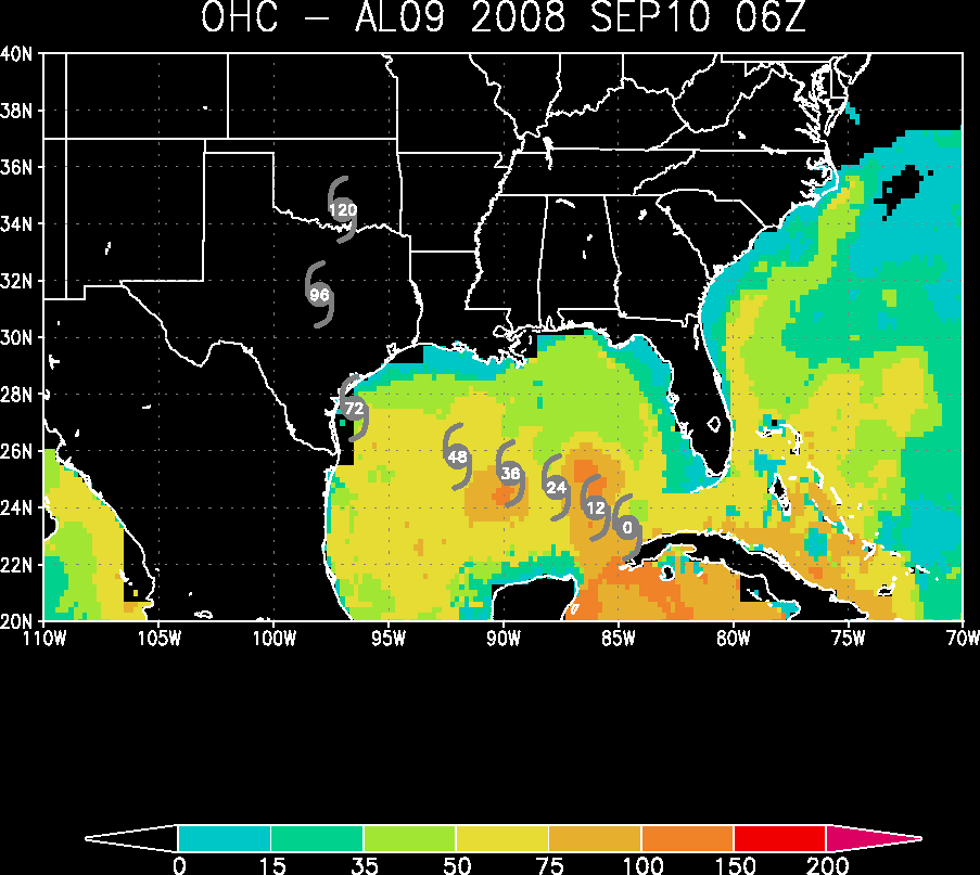
The fact that its motion has recently stalled is very bad news as its very close to that ole loop current now...
The fact that its motion has recently stalled is very bad news as its very close to that ole loop current now...
0 likes

Re: ATL IKE: Category 1 - Discussion
Have to give it to Ortt. He called the outer eye wall last night. But I will tell you the NHC is saying everything they can without actually saying that in the next 24 hours this thing could get off the charts. The very favorable's way out weight negatives at this time.
0 likes

Re: ATL IKE: Category 1 - Discussion
Stormcenter wrote:Sabanic wrote:ronjon wrote:3 day cone now moved up the the Tx-La border - that trough timing may make this LF a nail biter along the TX coast.
And will certainly start getting the full attention of those in LA
All landfalls are nail biters. There are no indications (right now)that Ike
is not going anywhere but where the NHC and the model
consensus says it's going. We are now 3 days out and the
models for the most part have locked into a specific landfall area.
The changes occur after he's made landfall.
Actually, maybe. Depends on the timing of the trough and erosion of the ridge. This set up is not a Gustav situation (simply riding the edge of the ridge). This track is complicated by the fact that an intense shortwave will potentially be affecting the western edge of the ridge just as the storm is approaching the coast. A turn to the NW or N near the Tx coast can change the LF location significantly.
0 likes
-
Portastorm

- Storm2k Moderator

- Posts: 9955
- Age: 63
- Joined: Fri Jul 11, 2003 9:16 am
- Location: Round Rock, TX
- Contact:
Re: ATL IKE: Category 1 - Discussion
I'm not too excited to see the latest NHC advisory take Ike through the eastern portion of Travis County by Saturday evening. 
0 likes
-
pablolopez26
- Tropical Storm

- Posts: 137
- Joined: Wed Aug 27, 2008 5:10 pm
Re:
jasons wrote:The biggest change I notice at 11M is they have pushed back the landfall time back to Sat AM. More time for the ridge to erode.
The new models with the Gulfstream data will be telling I think.
Hi Jasons, what does this mean for the new track? Once the ridge erodes, whats going to happen?
0 likes
-
dixiebreeze
- S2K Supporter
- Posts: 5140
- Joined: Wed Sep 03, 2003 5:07 pm
- Location: crystal river, fla.
Re: ATL IKE: Category 1 - Discussion
Re: 11 a.m. discussion. Reportedly moving at 300. Isn't that a NW movement -- albeit very slowly?
0 likes
-
Sabanic

- Category 2

- Posts: 683
- Age: 66
- Joined: Wed Aug 01, 2007 7:01 am
- Location: Mobile, AL
- Contact:
Re: ATL IKE: Category 1 - Discussion
Stormcenter wrote:Sabanic wrote:ronjon wrote:3 day cone now moved up the the Tx-La border - that trough timing may make this LF a nail biter along the TX coast.
And will certainly start getting the full attention of those in LA
All landfalls are nail biters. There are no indications (right now)that Ike
is not going anywhere but where the NHC and the model
consensus says it's going. We are now 3 days out and the
models for the most part have locked into a specific landfall area.
The changes occur after he's made landfall.
SC I know the NHC has locked in, but nothing with a Hurricane is written in stone until it makes landfall. Seen way too many crazy things happen with them, and as long as there is a potentially dangerous storm in the Gulf that hasn't made landfall we all are watching with concern.
0 likes


Re: ATL IKE: Category 1 - Discussion
Portastorm wrote:I'm not too excited to see the latest NHC advisory take Ike through the eastern portion of Travis County by Saturday evening.
Yes, looks some wind and rain Sat/Sun for other big Texas cities - Austin and DFW.
0 likes

Re: ATL IKE: Category 1 - Discussion
Stormcenter wrote:Sabanic wrote:ronjon wrote:3 day cone now moved up the the Tx-La border - that trough timing may make this LF a nail biter along the TX coast.
And will certainly start getting the full attention of those in LA
All landfalls are nail biters. There are no indications (right now)that Ike
is not going anywhere but where the NHC and the model
consensus says it's going. We are now 3 days out and the
models for the most part have locked into a specific landfall area.
The changes occur after he's made landfall.
if your in the 3 day cone your fair game......
0 likes
-
caneman
Re: ATL IKE: Category 1 - Discussion
Stormcenter,
That actually isn't correct. Look at the 3 day cone from NHc and you will see your average forecasting error for 72 hours. According to that any part of the entire Txas coast line is in play. All comes down to timing now boys and girls.
http://www.nhc.noaa.gov/refresh/graphic ... y#contents
That actually isn't correct. Look at the 3 day cone from NHc and you will see your average forecasting error for 72 hours. According to that any part of the entire Txas coast line is in play. All comes down to timing now boys and girls.
http://www.nhc.noaa.gov/refresh/graphic ... y#contents
Last edited by caneman on Wed Sep 10, 2008 10:32 am, edited 1 time in total.
0 likes
Who is online
Users browsing this forum: No registered users and 265 guests