


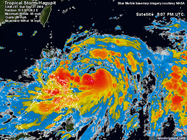
This system already has the looks of a major typhoon.
Moderator: S2k Moderators


HURAKAN wrote:
This system already has the looks of a major typhoon.


Tampa Bay Hurricane wrote:***Not official***
It looks like an 85 mph category 1 in that loop, with very deep
white convection around the center. This could really intensify rapidly.

Users browsing this forum: No registered users and 39 guests


