
Moderator: S2k Moderators


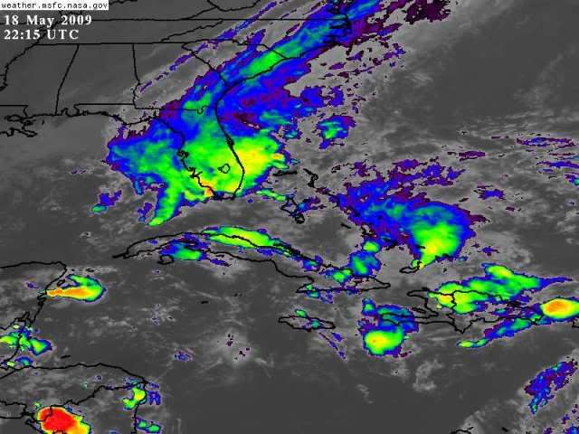
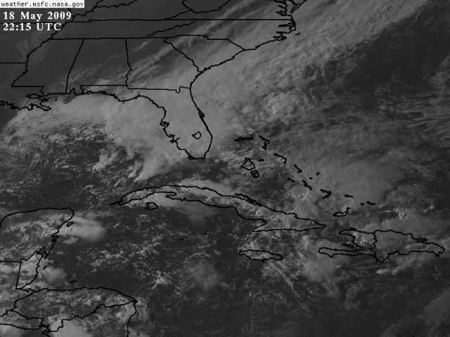
wxman57 wrote:I've been out of touch all day, speaking at a media event in Baton Rouge. Just taking a look at things, I don't see anything where NHC Has the invest up. Straight SE flow. No evidence of an LLC and pressures relatively high. I DO see turning in the SE Gulf along the cold front, however any low there is just a frontal wave at this point. Better chance of the western area developing than the eastern area, I would think. But it won't be tropical, at least for a few days. Considerable cold air advection into the eastern Gulf now.


Tampa Bay Hurricane wrote:Feels more like a cold front right now. It'll probably take until
Wednesday morning to transition if it does so (the low, extra- to
subtropical if it does that).
Gettin windy here in Da Burg Baby!!! (Saint Petersburg)
Okay not THAT windy just 20 mph gusts 30 mph but still
nice and cool.

ronjon wrote:Yes the GOM low is starting to wind up - this system will be big (think nor'easter in the GOM). Anytime these low pressure systems get stacked, they really dominate the flow over a large area. The definition of whether this storm is extratropical or subtropical is really semantics - the effects will be the same. Ask KWT or Cookie about the major N Atlantic storms - some with extremely low pressures. I'm not trying to hype this storm more than it needs to be but think of a very large tropical storm - with gales extending hundreds of miles from the center. What separates this storm from others is the intense upper level energy that will be supporting low pressure at the surface - highly unusual at such a low latitude this time of year.


Users browsing this forum: No registered users and 32 guests