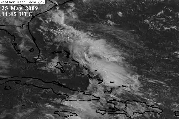
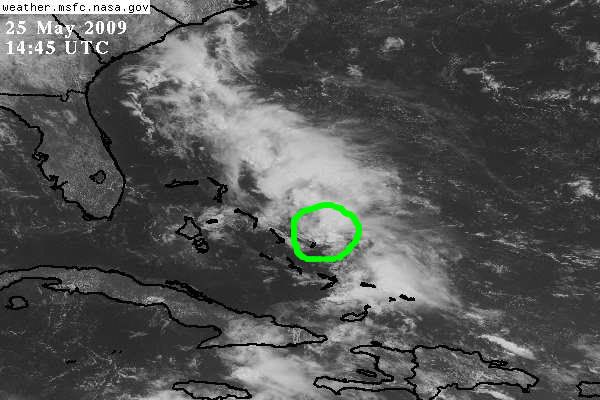
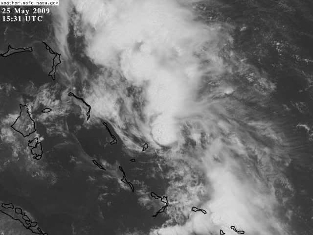
"An area of disturbed weather is located over the Bahamas associated with a broad surface trough of low pressure extending from the Florida Peninsula to Hispaniola. This activity is being further enhanced by upper diffluent flow on the right flank of the negatively-tilted upper trough associated with 90L. The GFS, CMC and ECMWF models develop an area of low pressure by tomorrow and take it towards the north or slightly east thereof due to a ridge building across the Atlantic. Sea surface temperatures remain warm the along the trajectory due the Gulf Stream, vertical wind shear is expected to relax and it is expected to be a moderate warm-core system. However, I would like to see more model support. Based on this, the area will be monitored for development."
Link:
http://www.wunderground.com/blog/Weather456/show.html