This must be an errror? Drosponde shows 981mb pressure? 37 kt winds at the surface as well:
Product: NOAA Temp Drop (Dropsonde) Message (UZNT13 KWBC)
Transmitted: 26th day of the month at 13:29Z
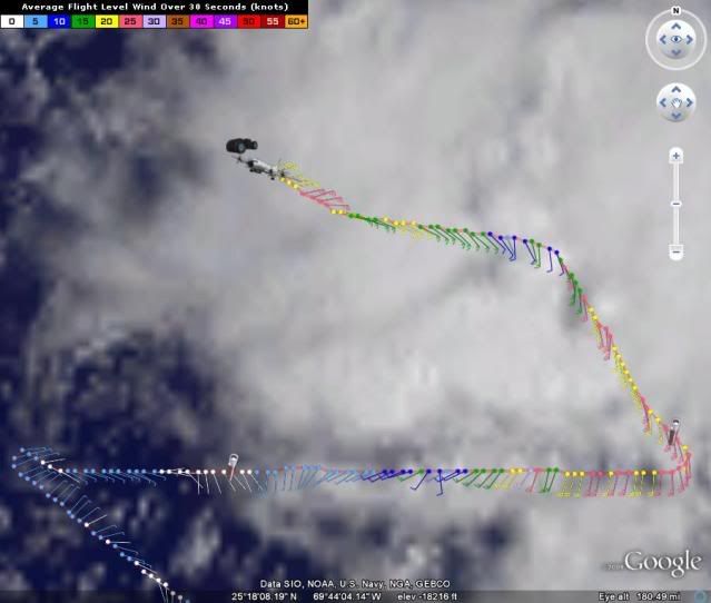
Aircraft: Lockheed WP-3D Orion (Reg. Num. N43RF)
Mission: Non-Tasked Mission, possibly not tropical (in the North Atlantic basin)
Mission Identifier: Al92 (Probably storm name and mission number)
Observation Number: 13
Part A...
Date: Near the closest hour of 13Z on the 26th day of the month
Highest Mandatory Level For Which Wind Was Reported: 700mb
Coordinates: 24.6N 67.5W
Map this location:
http://www.hhrecon.com/recon/scripts/pa ... &lon=-67.5Location: 438 miles (705 km) between the NNW and N (348°) from San Juan, Puerto Rico (USA).
Level: Geo. Height / Air Temp. / Dew Point / Wind Direction / Wind Speed
981mb (28.97 inHg): Sea Level (Surface) / 24.6°C (76.3°F) / Approximately 20°C (68°F) / 185° (from the S) / 37 knots (43 mph)
1000mb: -166m (-545 ft) / Other data not available.
925mb: 517m (1,696 ft) / 20.6°C (69.1°F) / 19.2°C (66.6°F) / 170° (from the S) / 30 knots (35 mph)
850mb: 1,245m (4,085 ft) / 17.4°C (63.3°F) / 14.7°C (58.5°F) / 165° (from the SSE) / 34 knots (39 mph)
700mb: 2,878m (9,442 ft) / 7.8°C (46.0°F) / 7.0°C (44.6°F) / 165° (from the SSE) / 32 knots (37 mph)
Information About Radiosonde:
- Launch Time: 12:57Z
Remarks Section...
Release Location: 24.61N 67.46W
Map this location:
http://www.hhrecon.com/recon/scripts/pa ... lon=-67.46Release Time: 12:57:33Z
Splash Location: 24.65N 67.48W
Map this location:
http://www.hhrecon.com/recon/scripts/pa ... lon=-67.48Splash Time: 13:02:06Z
Mean Boundary Level Wind (mean wind in the lowest 500 geopotential meters):
- Wind: 180° (from the S) at 34 knots (39 mph)
Deep Layer Mean Wind (average wind over the depth):
- Wind: 165° (from the SSE) at 32 knots (37 mph)
- Depth of Sounding: From 645mb to 981mb
Average Wind Over Lowest Available 150 geopotential meters (gpm):
- Lowest 150m: 160 gpm - 10 gpm (525 geo. feet - 33 geo. feet)
- Wind: 180° (from the S) at 36 knots (41 mph)
Part B: Data For Significant Levels...
Significant Temperature And Relative Humidity Levels...
Level: Air Temp. / Dew Point
981mb (Surface): 24.6°C (76.3°F) / Approximately 20°C (68°F)
980mb: 24.6°C (76.3°F) / Approximately 20°C (68°F)
903mb: 18.8°C (65.8°F) / 18.4°C (65.1°F)
856mb: 17.6°C (63.7°F) / 14.9°C (58.8°F)
667mb: 5.6°C (42.1°F) / 5.3°C (41.5°F)
644mb: 4.8°C (40.6°F) / 4.8°C (40.6°F)
Significant Wind Levels...
Level: Wind Direction / Wind Speed
981mb (Surface): 185° (from the S) / 37 knots (43 mph)
960mb: 180° (from the S) / 37 knots (43 mph)
933mb: 170° (from the S) / 29 knots (33 mph)
644mb: 160° (from the SSE) / 26 knots (30 mph)
---
Original Undecoded Observation:
UZNT13 KWBC 261329
XXAA 76137 99246 70675 07947 99981 24650 18537 00666 ///// /////
92517 20614 17030 85245 17427 16534 70878 07808 16532 88999 77999
31313 09608 81257
61616 NOAA3 WXWXA AL92 OB 13
62626 REL 2461N06746W 125733 SPG 2465N06748W 130206 WL150 18036 0
85 DLM WND 16532 981645 MBL WND 18034=
XXBB 76138 99246 70675 07947 00981 24650 11980 24650 22903 18804
33856 17627 44667 05603 55644 048//
21212 00981 18537 11960 18037 22933 17029 33644 16026
31313 09608 81257
61616 NOAA3 WXWXA AL92 OB 13
62626 REL 2461N06746W 125733 SPG 2465N06748W 130206 WL150 18036 0
85 DLM WND 16532 981645 MBL WND 18034=