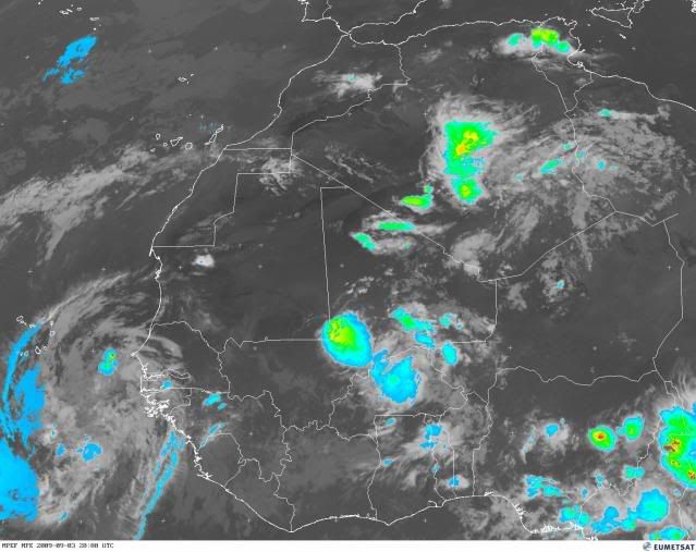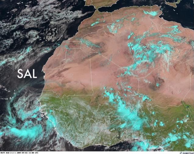
Waiting for a burst of thunderstorms near the center (likely during D-MAX). Look at the SAL to the north.
Moderator: S2k Moderators


HURAKAN wrote:
Waiting for a burst of thunderstorms near the center (likely during D-MAX). Look at the SAL to the north.


HURAKAN wrote:
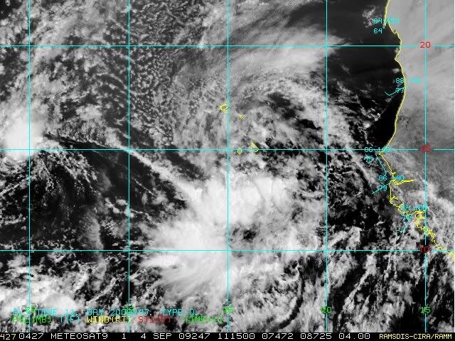
Development could be on the way


Sanibel wrote:The negative atmospheric won't spring a storm without an MJO pulse.
Whatever went on in the atmosphere that caused the big arctic ice over last year is probably connected to a prevailing negativity in the tropical Atlantic this year.
Sanibel wrote:The negative atmospheric won't spring a storm without an MJO pulse.
Whatever went on in the atmosphere that caused the big arctic ice over last year is probably connected to a prevailing negativity in the tropical Atlantic this year.


ConvergenceZone wrote:
I have a feeling that 2009 may go down as one of the most low activity years in history,
with not even a hint that anything is going to change that.
Users browsing this forum: No registered users and 101 guests