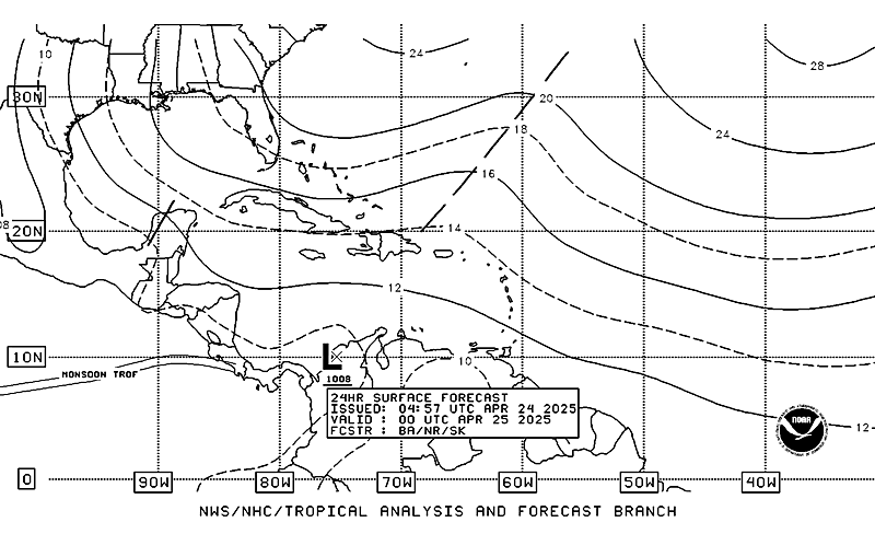
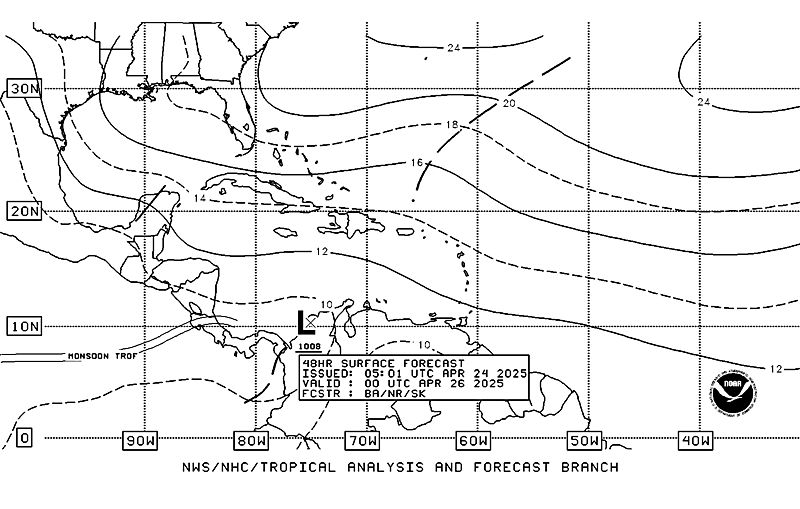
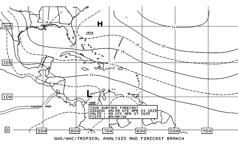
0Z GFS, however, is showing something
That said, no development until Saturday if that solution verifies
Hurricane in Western Caribbean?
Moderator: S2k Moderators
Forum rules
The posts in this forum are NOT official forecasts and should not be used as such. They are just the opinion of the poster and may or may not be backed by sound meteorological data. They are NOT endorsed by any professional institution or STORM2K. For official information, please refer to products from the National Hurricane Center and National Weather Service.
-
Derek Ortt
Re: Hurricane in Western Caribbean?
The 00GFS run has this system sitting between the Yucatan and the Cayman Islands just sitting down there. Because of the time of year I think Florida might be dealing with this system rather than Cental America.On the flip side theirs a 1020mb high sitting over Kentucky and West Virginia which would cause resistence of it moving N or NE. This was at 180hrs.
http://www.nco.ncep.noaa.gov/pmb/nwprod ... n_180m.gif
I'm surprised gatorcane would normally be all over this especially by this systems looks.
http://www.nco.ncep.noaa.gov/pmb/nwprod ... n_180m.gif
I'm surprised gatorcane would normally be all over this especially by this systems looks.
0 likes
Re: Hurricane in Western Caribbean?
Looks like the NHC is starting to warm up to the idea that this system could develop in the next few days.
My guess is this could become an Irene scenario down the road. A slow, spread out system that produces lots of rain (at least).
http://www.nhc.noaa.gov/gtwo_atl.shtml
MW
My guess is this could become an Irene scenario down the road. A slow, spread out system that produces lots of rain (at least).
http://www.nhc.noaa.gov/gtwo_atl.shtml
MW
0 likes
Updating on the twitter now: http://www.twitter.com/@watkinstrack
-
jlauderdal
- S2K Supporter

- Posts: 7240
- Joined: Wed May 19, 2004 5:46 am
- Location: NE Fort Lauderdale
- Contact:
Re: Hurricane in Western Caribbean?
Sanibel wrote:Looks like something is trying to curl up down there.
that's what should happen this time of night, curl up and go to sleep
0 likes
- cycloneye
- Admin

- Posts: 149514
- Age: 69
- Joined: Thu Oct 10, 2002 10:54 am
- Location: San Juan, Puerto Rico
Re: Hurricane in Western Caribbean?
I am surprised that nobody posted the 00z run of the ECMWF.It shows a tropical storm moving thru South Florida.
http://www.ecmwf.int/products/forecasts ... 00!!!step/
http://www.ecmwf.int/products/forecasts ... 00!!!step/
0 likes
Visit the Caribbean-Central America Weather Thread where you can find at first post web cams,radars
and observations from Caribbean basin members Click Here
and observations from Caribbean basin members Click Here
- cycloneye
- Admin

- Posts: 149514
- Age: 69
- Joined: Thu Oct 10, 2002 10:54 am
- Location: San Juan, Puerto Rico
Re: Hurricane in Western Caribbean?
NOGAPS joins the other models showing some development.This is the 00z run.
http://moe.met.fsu.edu/cgi-bin/ngptc2.c ... =Animation
http://moe.met.fsu.edu/cgi-bin/ngptc2.c ... =Animation
0 likes
Visit the Caribbean-Central America Weather Thread where you can find at first post web cams,radars
and observations from Caribbean basin members Click Here
and observations from Caribbean basin members Click Here
- cycloneye
- Admin

- Posts: 149514
- Age: 69
- Joined: Thu Oct 10, 2002 10:54 am
- Location: San Juan, Puerto Rico
Re: Hurricane in Western Caribbean?
TROPICAL WEATHER OUTLOOK
NWS TPC/NATIONAL HURRICANE CENTER MIAMI FL
800 AM EDT TUE OCT 20 2009
FOR THE NORTH ATLANTIC...CARIBBEAN SEA AND THE GULF OF MEXICO...
A BROAD AREA OF LOW PRESSURE OVER THE SOUTHWESTERN CARIBBEAN SEA IS
PRODUCING A LARGE AREA OF CLOUDINESS AND THUNDERSTORMS. THIS SYSTEM
HAS THE POTENTIAL FOR SLOW DEVELOPMENT AS IT DRIFTS NORTHWARD
DURING THE NEXT FEW DAYS. THERE IS A LOW CHANCE...LESS THAN 30
PERCENT...OF THIS SYSTEM BECOMING A TROPICAL CYCLONE DURING THE
NEXT 48 HOURS.
ELSEWHERE...TROPICAL CYCLONE FORMATION IS NOT EXPECTED DURING THE
NEXT 48 HOURS.
$$
FORECASTER AVILA
0 likes
Visit the Caribbean-Central America Weather Thread where you can find at first post web cams,radars
and observations from Caribbean basin members Click Here
and observations from Caribbean basin members Click Here
- cycloneye
- Admin

- Posts: 149514
- Age: 69
- Joined: Thu Oct 10, 2002 10:54 am
- Location: San Juan, Puerto Rico
Re: Hurricane in Western Caribbean?
Is invest 94L so thread is locked.
Go to the 94L thread at link below.
viewtopic.php?f=59&t=106890&p=1934614#p1934614
Go to the 94L thread at link below.
viewtopic.php?f=59&t=106890&p=1934614#p1934614
0 likes
Visit the Caribbean-Central America Weather Thread where you can find at first post web cams,radars
and observations from Caribbean basin members Click Here
and observations from Caribbean basin members Click Here
Who is online
Users browsing this forum: No registered users and 188 guests


