chepps wrote:Yeah, there is no storm there. LOL
It just came of the coast of Africa.. they don't tend to develop until days later..
Moderator: S2k Moderators


chepps wrote:Yeah, there is no storm there. LOL


Aquawind wrote:It may be naked but, it looks impressive. If it stays in the MDR it looks to be a player down the road..

SouthFloridawx wrote:Aquawind wrote:It may be naked but, it looks impressive. If it stays in the MDR it looks to be a player down the road..
No poof?


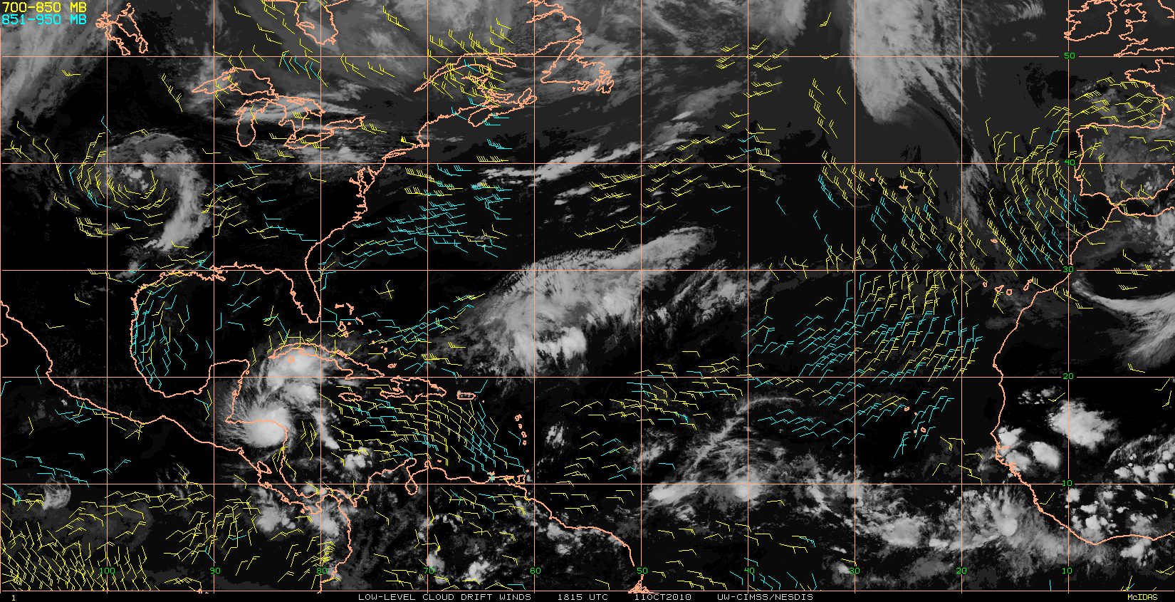
gatorcane wrote:This wave will need to be watched for development down the road (maybe end of this week). The moisture envelope is large and there is a very distinct spin present on visible and water vapor loops. SAL doesn't look to be a big issue and the upper-level winds appear that they are going to cooperate for development as it heads West through the MDR. In fact the shear is quite low all the way through the MDR at this point. It just needs a catalyst to spark up some convection.

Blown Away wrote:gatorcane wrote:This wave will need to be watched for development down the road (maybe end of this week). The moisture envelope is large and there is a very distinct spin present on visible and water vapor loops. SAL doesn't look to be a big issue and the upper-level winds appear that they are going to cooperate for development as it heads West through the MDR. In fact the shear is quite low all the way through the MDR at this point. It just needs a catalyst to spark up some convection.
Most of the MDR is dry air, do you think this wave's moisture envelope is big enough to overcome the dry air?
wzrgirl1 wrote:Blown Away wrote:gatorcane wrote:This wave will need to be watched for development down the road (maybe end of this week). The moisture envelope is large and there is a very distinct spin present on visible and water vapor loops. SAL doesn't look to be a big issue and the upper-level winds appear that they are going to cooperate for development as it heads West through the MDR. In fact the shear is quite low all the way through the MDR at this point. It just needs a catalyst to spark up some convection.
Most of the MDR is dry air, do you think this wave's moisture envelope is big enough to overcome the dry air?
MDR?
ROCK wrote:Dry air and SAL sinking in front of this wave....will be a fews days before it does anything...


Users browsing this forum: No registered users and 40 guests