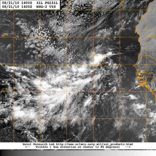
Tommedic wrote:I don't post as much as I used to. But I was wondering from some of the more experienced professionals, is there any way for NOAA to send there research aircraft over the CV area for detailed analysis to evaluate the formation of a storm and then determine better methods of getting better info in future to better prpeare for significant storm formations based on real data rather than just models. It just seems that there is a dead area of limited info to better decide when to designate resources for a system. I tend to think that we will see a consolidation of the disturbed weather and then when a real center can be determined then the models will be able to get a good handle.
That's exactly what they're doing out there this year. There's a project underway in two phases - August 15-31 and September 1-15. They are studying waves as they move off the coast of Africa to learn more about what causes them to develop. It's tied in with the CIMSS "PREDICT" website:
http://cimss.ssec.wisc.edu/tropic2/predict/


