ATL: Ex Tropical Storm EARL - Discussion
Moderator: S2k Moderators
-
Hurricane Andrew

- S2K Supporter

- Posts: 1891
- Age: 27
- Joined: Sun May 23, 2010 2:53 pm
- Location: KS
Hi peeps! if Earl deciedes to take the western edge of the projected path, I will get hit pretty hard. So far, not really any preporations going on, but the rumors are starting.
0 likes
The Enthusiast
NREMT-AEMT, WX nerd
Irene '11, Sandy '12, Irma '17 (SAR)
"Hard to think we were born to live this way..." -Wage War

Re: ATL: Hurricane EARL - Discussion
Nice slice by CloudSat of Earl's Eyewall.
The CDO over the eyewall is topping out at a very impressive 17km.
MIMIC Microwave almost looks like 2 concentric eyewalls forming outside of the core eyewall.
Obviously, an ERC is well underway.
http://cimss.ssec.wisc.edu/tropic/real- ... t24hrs.gif
Equatorward outflow channel has taken a hit.
AMSU Microwave Sounding shows a boundary layer inversion in place under the inner eyewall.
He will have to shake this all off if he wants to strengthen more.
0 likes
-
WeatherGuesser
- Category 5

- Posts: 2672
- Joined: Tue Jun 29, 2010 6:46 am

Re: ATL: Hurricane EARL - Discussion
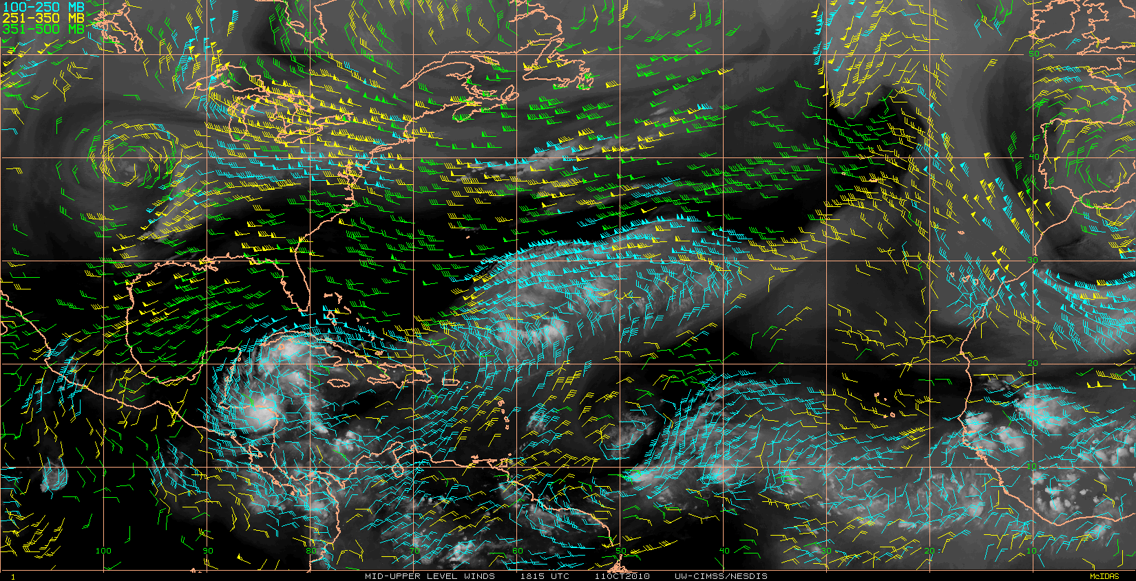
Current 0900UTC (5:00am) 8/31/10 steering flow for Hurricane Earl. Still looks like very strong high pressure holding over the Mid Atalantic States. If this does not break down soon (I know it is forcasted to ) how will this affect Earl's future track? Thoughts/comments welcomed.

0 likes
The posts in this forum are NOT official forecasts and should not be used as such. They are just the opinion of the poster and may or may not be backed by sound meteorological data. They are NOT endorsed by any professional institution or STORM2K. For official information, please refer to products from the NHC and NWS.
-
cyclonic chronic
VDM from yesterday a.m.;
000
URNT12 KNHC 300339
VORTEX DATA MESSAGE AL072010
A. 30/03:15:20Z
B. 17 deg 55 min N
061 deg 10 min W
C. 700 mb 2828 m
D. 79 kt
E. 064 deg 30 nm
F. 147 deg 96 kt
G. 066 deg 27 nm
H. 970 mb
last VDM 25 hrs later;
000
URNT12 KNHC 310439
VORTEX DATA MESSAGE AL072010
A. 31/04:26:00Z
B. 19 deg 51 min N
066 deg 06 min W
C. 700 mb 2515 m
D. 112 kt
E. 037 deg 9 nm
F. 127 deg 124 kt
G. 036 deg 11 nm
H. 933 mb
970mb- 933mb= 37mb drop in 25 hrs.
000
URNT12 KNHC 300339
VORTEX DATA MESSAGE AL072010
A. 30/03:15:20Z
B. 17 deg 55 min N
061 deg 10 min W
C. 700 mb 2828 m
D. 79 kt
E. 064 deg 30 nm
F. 147 deg 96 kt
G. 066 deg 27 nm
H. 970 mb
last VDM 25 hrs later;
000
URNT12 KNHC 310439
VORTEX DATA MESSAGE AL072010
A. 31/04:26:00Z
B. 19 deg 51 min N
066 deg 06 min W
C. 700 mb 2515 m
D. 112 kt
E. 037 deg 9 nm
F. 127 deg 124 kt
G. 036 deg 11 nm
H. 933 mb
970mb- 933mb= 37mb drop in 25 hrs.
0 likes
-
OuterBanker
- S2K Supporter
- Posts: 1761
- Joined: Wed Feb 26, 2003 10:53 am
- Location: Nags Head, NC
- Contact:
-
Hurricane Andrew
- S2K Supporter
- Posts: 1891
- Age: 27
- Joined: Sun May 23, 2010 2:53 pm
- Location: KS
TWC is operated by NBC?
Last edited by Hurricane Andrew on Tue Aug 31, 2010 6:51 am, edited 1 time in total.
0 likes
The Enthusiast
NREMT-AEMT, WX nerd
Irene '11, Sandy '12, Irma '17 (SAR)
"Hard to think we were born to live this way..." -Wage War

-
UpTheCreek

- Category 1

- Posts: 397
- Age: 62
- Joined: Tue Aug 31, 2004 5:28 pm
- Location: Vassalboro, Maine
Re:
Hurricane Andrew wrote:TWC is operated by NBC?
Also, A few weeks ago, we had a Macroburst up here. 20 minutes (or so) of 75-100MPH wind. I was not there to see it. If Earl takes the western track, it will be 1-3 hours of 75-100MPH winds for me. And i will be filming it.
That Macroburst knocked over dozens of trees, and cut out power for 2 days. That was 20 minutes. Imagine what 2 hours could do.
Where are you? You don't have it listed under your username.
0 likes
-
Hurricane Andrew
- S2K Supporter
- Posts: 1891
- Age: 27
- Joined: Sun May 23, 2010 2:53 pm
- Location: KS
Re: Re:
UpTheCreek wrote:Hurricane Andrew wrote:TWC is operated by NBC?
Also, A few weeks ago, we had a Macroburst up here. 20 minutes (or so) of 75-100MPH wind. I was not there to see it. If Earl takes the western track, it will be 1-3 hours of 75-100MPH winds for me. And i will be filming it.
That Macroburst knocked over dozens of trees, and cut out power for 2 days. That was 20 minutes. Imagine what 2 hours could do.
Where are you? You don't have it listed under your username.
Wappinger Falls,NY. 60 miles North of NYC.
If Earl takes the western path, the eye will go just south of me.
0 likes
The Enthusiast
NREMT-AEMT, WX nerd
Irene '11, Sandy '12, Irma '17 (SAR)
"Hard to think we were born to live this way..." -Wage War
-
anarchiver19
- Tropical Low

- Posts: 33
- Joined: Mon Aug 30, 2010 10:45 am
- Location: Virginia Beach
Re: ATL: Hurricane EARL - Discussion
Here in Virginia Beach our usually alarmist local media have been very low key about Earl. Makes me wonder. There are a lot of people around here that have the attitude "they always say we're going to get hit and we end up with nothing, so until I see it outside with my own eyes here I'm not worrying about it." I think this area is very accustomed to having the Outer Banks take a hit before it can get to us.
0 likes
-
WeatherGuesser
- Category 5
- Posts: 2672
- Joined: Tue Jun 29, 2010 6:46 am
Re:
Hurricane Andrew wrote:TWC is operated by NBC?
About a year or so now. Immediately it went downhill very fast. A few months ago I dropped it out of my channel scan.
0 likes
-
Hurricane Andrew
- S2K Supporter
- Posts: 1891
- Age: 27
- Joined: Sun May 23, 2010 2:53 pm
- Location: KS
Re: Re:
WeatherGuesser wrote:Hurricane Andrew wrote:TWC is operated by NBC?
About a year or so now. Immediately it went downhill very fast. A few months ago I dropped it out of my channel scan.
Thanks for the Information.
0 likes
The Enthusiast
NREMT-AEMT, WX nerd
Irene '11, Sandy '12, Irma '17 (SAR)
"Hard to think we were born to live this way..." -Wage War
-
UpTheCreek
- Category 1
- Posts: 397
- Age: 62
- Joined: Tue Aug 31, 2004 5:28 pm
- Location: Vassalboro, Maine
Re: Re:
Hurricane Andrew wrote:UpTheCreek wrote:Hurricane Andrew wrote:TWC is operated by NBC?
Also, A few weeks ago, we had a Macroburst up here. 20 minutes (or so) of 75-100MPH wind. I was not there to see it. If Earl takes the western track, it will be 1-3 hours of 75-100MPH winds for me. And i will be filming it.
That Macroburst knocked over dozens of trees, and cut out power for 2 days. That was 20 minutes. Imagine what 2 hours could do.
Where are you? You don't have it listed under your username.
Wappinger Falls,NY. 60 miles North of NYC.
If Earl takes the western path, the eye will go just south of me.
I'm getting fairly concerned where I live too, especially if the track shifts even more west into NC!
0 likes

Re: Re:
WeatherGuesser wrote:Hurricane Andrew wrote:TWC is operated by NBC?
About a year or so now. Immediately it went downhill very fast. A few months ago I dropped it out of my channel scan.
so thats what happened to it, i knew it was not what it used to be but didnt know about that, ok if Stehpanie is at the outer banks where is Jim if anyone shows up here in Carteret County we will know they are thinking things that we don't know yet, looks like we could get some winds from this as of this am from local weather stations
0 likes
CARTERET COUNTY NC
-
UpTheCreek
- Category 1
- Posts: 397
- Age: 62
- Joined: Tue Aug 31, 2004 5:28 pm
- Location: Vassalboro, Maine
Re: Re:
sandyb wrote:WeatherGuesser wrote:Hurricane Andrew wrote:TWC is operated by NBC?
About a year or so now. Immediately it went downhill very fast. A few months ago I dropped it out of my channel scan.
so thats what happened to it, i knew it was not what it used to be but didnt know about that, ok if Stehpanie is at the outer banks where is Jim if anyone shows up here in Carteret County we will know they are thinking things that we don't know yet, looks like we could get some winds from this as of this am from local weather stations
Did you make your preps last night, Sandy?

0 likes
Re: ATL: Hurricane EARL - Discussion
Hurricane Earl 7:00AM position & wind field. Map courtesy www. BoatUS.com

0 likes
The posts in this forum are NOT official forecasts and should not be used as such. They are just the opinion of the poster and may or may not be backed by sound meteorological data. They are NOT endorsed by any professional institution or STORM2K. For official information, please refer to products from the NHC and NWS.
Re: ATL: Hurricane EARL - Discussion
got a few things up in the yard, gonna take down my camper today, pop-up is up gotta put that away, still have to put away some deck chairs and stuff...working on things, need to make a grocrey run this am I keep plenty of stuff on hand anyway due to teenage kids  but wanna be ready just in case what are you thoughts this am looks a little closer to me than it did and we are in some of the wind cone on tv 12 and 7
0 likes
CARTERET COUNTY NC
-
ColinDelia

- S2K Supporter
- Posts: 918
- Joined: Mon Aug 29, 2005 5:52 am
- Location: The Beach, FL
Re: ATL: Hurricane EARL - Discussion
Morning everyone. Here is a good tool for estimating how close the eye of a storm will pass to your location on the forecast track.
The site is here: http://stormcarib.com/closest.htm
For anyone that needs detailed instructions:
1. You'll need your latitude and longitude in decimals.
a. If you are in the US go here http://www.zipinfo.com/search/zipcode.htm click on "latitude and longitude" and type in your zip code. Skip to step 2.
b. If you are in Canada go here: http://www.postalcodedownload.com/ and work your way to your lat/long with your zip code. Skip to step 2.
c. If you are somewhere else you can get your latitude and longitude from wikipedia. Just type in your city name and look at "Coordinates" under the map in the right side menu.
d. Copy your latitude and longitude to convert it
e. Go here: http://www.earthpoint.us/Convert.aspx
f. paste your latitude and longitude into "position" (It'll start in a format like this: 28°32′37″N 81°22′22″W)
g. Click "calc" then get your position in "degrees lat long"
2. Next, Go here: http://stormcarib.com/closest.htm
Look for where it says "Currently tracking Earl" It says "Skip to prefilled form". Click on "skip to prefilled form"
This will fill in the most recent coordinates from the National Hurricane Center official forecast.
3. Just type in your coordinates from step (1) to get your closest expected distance.
Don't forget a hurricane is not a point and there is potential error in the forecast track.
0 likes
-
ColinDelia
- S2K Supporter
- Posts: 918
- Joined: Mon Aug 29, 2005 5:52 am
- Location: The Beach, FL
Re: ATL: Hurricane EARL - Discussion
GCANE wrote:
The CDO over the eyewall is topping out at a very impressive 17km.
Wow, look at that.
0 likes
Who is online
Users browsing this forum: No registered users and 60 guests