Personal Forecast Disclaimer:
The posts in this forum are NOT official forecast and should not be used as such. They are just the opinion of the poster and may or may not be backed by sound meteorological data. They are NOT endorsed by any professional institution or storm2k.org. For official information, please refer to the NHC and NWS products.
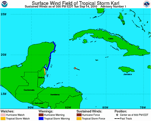
If they do go with 13 I don't think it will stay 13 for very long. Everything I am looking at says the same thing to me it seems to be saying to others "Hello, my name is Karl". Unfortunately possible Karl is in a very good location for some good intensification prior to landfall on the Yucatan so I would expect this system to keep ramping up till it hits the peninsula. Depending on how much the land interaction disturbs whatever we have out there now, I would guess it will have a good run at becoming a strong TS if not a CAT1 hurricane before it makes a 2nd landfall in Mexico, probably around Tampico or maybe a little North of there. The ridging over and expected to build in over TX appears to be the control here and it would appear that it will allow nothing to come North except moisture and some swells. Long fetch of winds from the SE might raise the tides above normal some along the TX coast also.
What I want to know is who allowed this to happen. My kids are cruising to Progresso and Cozumel right now. I think they get to Progresso this afternoon and Cozumel Thursday morning.


