

That area just developed recently and I'm wondering if that could be the spawn of future Richard.
http://www.ssd.noaa.gov/goes/east/watl/flash-avn.html
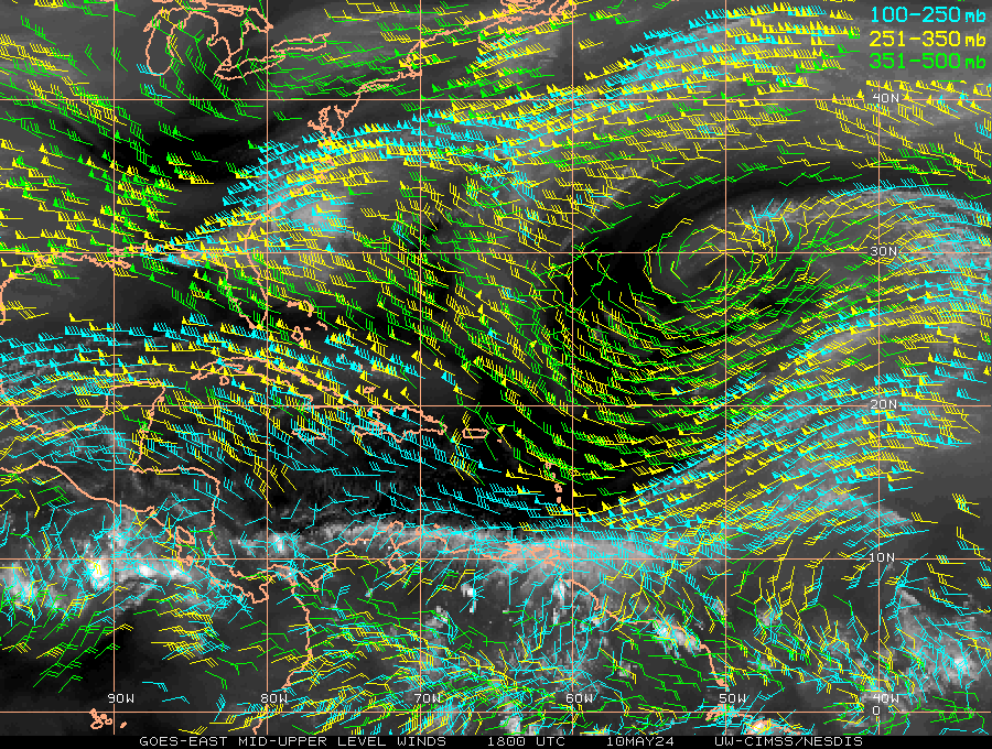
Disturbed area north of Panama - (Is invest 99L)
Moderator: S2k Moderators
Forum rules

The posts in this forum are NOT official forecasts and should not be used as such. They are just the opinion of the poster and may or may not be backed by sound meteorological data. They are NOT endorsed by any professional institution or STORM2K. For official information, please refer to products from the National Hurricane Center and National Weather Service.
Re: Disturbed area SE of Paula
It seems like it could be because the GFS runs have initialized future "Richard" in that same area where the blob is..however, Richard is not born until Sunday/Monday, so it may not be that mass there but maybe something will form there
GFS has been the only model that has shown anything with "Richard" so I need to see more consensus from other models before I jump on board..however, most of the models busted on Paula (especially the Canadian, which has never had Paula as a closed low, even now when it's a Category 2), so I'm hesitant to even jump on board if more models start showing Richard
We will see, but we are getting close to the second peak of the season whereby more storms hit Florida...also the fact that it hits around Wilma's anniversary is eerie...this weekend we should have a better idea
0 likes

Re: Disturbed area SE of Paula
Anti-cyclone is anchored.
Outflow from Paula has moistened mid-levels.
Nothing currently on 850mb vorticity except the persistent one just north of Panama that never goes anywhere.
If some convection fires and / or persistent stratiform precipitation develops, then the upper troposphere could develop a PV anomaly due to diabatic heating.
It could in turn work it way to the surface as a top-down development.
0 likes
-
Weatherfreak000
Re: Disturbed area SE of Paula
Currently some LL to UL drying has occurred looking at TPW and WV.
However theta-e forecast is showing moisture will be returning into the area.
It looks like a TUTT may spin up around the Leewards in about 100 hrs which could fire off some shear induced MCS's.
That in turn could be the spark that initiates a mid-level PV anomaly.
It looks like something may be off the coast of Nicaragua in about 180 hrs.
0 likes
Re: Disturbed area SE of Paula
TUTT is currently at 14N 44W
This will be the one that will linger around the area and eventually move a bit west closer to the islands.


This will be the one that will linger around the area and eventually move a bit west closer to the islands.
0 likes


-
cycloneye

- Admin

- Posts: 149505
- Age: 69
- Joined: Thu Oct 10, 2002 10:54 am
- Location: San Juan, Puerto Rico
Re: Disturbed area SE of Paula
0 likes
Visit the Caribbean-Central America Weather Thread where you can find at first post web cams,radars
and observations from Caribbean basin members Click Here
and observations from Caribbean basin members Click Here
-
srainhoutx

- S2K Supporter

- Posts: 6919
- Age: 68
- Joined: Sun Jan 14, 2007 11:34 am
- Location: Haywood County, NC
- Contact:
Re: Disturbed area SE of Paula
12Z GFS Ensemble members will likely raise an eyebrow or two.
0 likes
Carla/Alicia/Jerry(In The Eye)/Michelle/Charley/Ivan/Dennis/Katrina/Rita/Wilma/Ike/Harvey
Member: National Weather Association
Wx Infinity Forums
http://wxinfinity.com/index.php
Facebook.com/WeatherInfinity
Twitter @WeatherInfinity
Member: National Weather Association
Wx Infinity Forums
http://wxinfinity.com/index.php
Facebook.com/WeatherInfinity
Twitter @WeatherInfinity


-
cycloneye
- Admin
- Posts: 149505
- Age: 69
- Joined: Thu Oct 10, 2002 10:54 am
- Location: San Juan, Puerto Rico
Re: Disturbed area north of Panama
Boca, I edited the title to put North of Panama, to be more specific about the area of interest the models are despicting for possible development.
0 likes
Visit the Caribbean-Central America Weather Thread where you can find at first post web cams,radars
and observations from Caribbean basin members Click Here
and observations from Caribbean basin members Click Here
-
srainhoutx
- S2K Supporter
- Posts: 6919
- Age: 68
- Joined: Sun Jan 14, 2007 11:34 am
- Location: Haywood County, NC
- Contact:
Re: Disturbed area north of Panama
18Z GFS is back with our feature in the SW Caribbean by hour 114. Looks to be a general monsoonal gyre between the EPAC and SW Caribbean. Should be interesting to watch unfold.
0 likes
Carla/Alicia/Jerry(In The Eye)/Michelle/Charley/Ivan/Dennis/Katrina/Rita/Wilma/Ike/Harvey
Member: National Weather Association
Wx Infinity Forums
http://wxinfinity.com/index.php
Facebook.com/WeatherInfinity
Twitter @WeatherInfinity
Member: National Weather Association
Wx Infinity Forums
http://wxinfinity.com/index.php
Facebook.com/WeatherInfinity
Twitter @WeatherInfinity
Re: Disturbed area north of Panama
King Richard is back to being suicidal in Central America/Yucatan on the 18Z gfs. The king is very wishywashy. 
0 likes
Personal Forecast Disclaimer:
The posts in this forum are NOT official forecasts and should not be used as such. They are just the opinion of the poster and may or may not be backed by sound meteorological data. They are NOT endorsed by any professional institution or storm2k.org. For official information, please refer to the NHC and NWS products.
The posts in this forum are NOT official forecasts and should not be used as such. They are just the opinion of the poster and may or may not be backed by sound meteorological data. They are NOT endorsed by any professional institution or storm2k.org. For official information, please refer to the NHC and NWS products.
-
cycloneye
- Admin
- Posts: 149505
- Age: 69
- Joined: Thu Oct 10, 2002 10:54 am
- Location: San Juan, Puerto Rico
Re: Disturbed area north of Panama
TWOAT
TROPICAL WEATHER OUTLOOK
NWS TPC/NATIONAL HURRICANE CENTER MIAMI FL
800 PM EDT THU OCT 14 2010
FOR THE NORTH ATLANTIC...CARIBBEAN SEA AND THE GULF OF MEXICO...
THE NATIONAL HURRICANE CENTER IS ISSUING ADVISORIES ON TROPICAL
STORM PAULA...LOCATED ABOUT 25 MILES EAST OF HAVANA CUBA AND ABOUT
45 MILES WEST OF VERADERO CUBA.
AN AREA OF THUNDERSTORMS HAS DEVELOPED OVER THE EXTREME SOUTHWESTERN
CARIBBEAN SEA. ENVIRONMENTAL CONDITIONS ARE ONLY MARGINALLY
FAVORABLE FOR DEVELOPMENT DURING THE NEXT COUPLE OF DAYS...BUT
CONDITIONS MAY BECOME MORE CONDUCIVE AFTERWARDS. THERE IS A LOW
CHANCE...10 PERCENT...OF THIS SYSTEM BECOMING A TROPICAL CYCLONE
DURING THE NEXT 48 HOURS AS THE DISTURBANCE MOVES LITTLE.
ELSEWHERE...TROPICAL CYCLONE FORMATION IS NOT EXPECTED DURING THE
NEXT 48 HOURS.
$$
FORECASTER STEWART
0 likes
Visit the Caribbean-Central America Weather Thread where you can find at first post web cams,radars
and observations from Caribbean basin members Click Here
and observations from Caribbean basin members Click Here


Re: Disturbed area north of Panama - Code Yellow
18z GFS seems like a new version of Mitch but with a shorter life, it really bears watching.
0 likes
Who is online
Users browsing this forum: No registered users and 174 guests