

Water vapor has been building consistently for the last couple weeks in the mid Carib.
Convection has been persistent over northern part of South America which has developed an anti-cyclone.
Shear could be clearing out south of Jamaica in about 144 hrs
GFS and CMC slightly hinting on a LL vorticity.
FIM forecasting good latent heat flux around Monday which could develop and move the anti-cyclone north into the water.
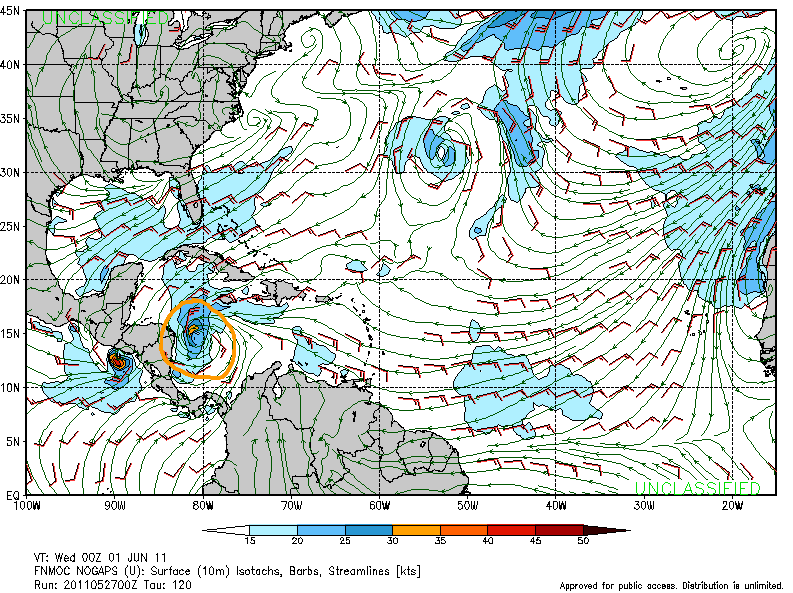
Based on 320K PV forecast and troughs ejecting into the Atlantic from CONUS, there most likely will be a TUTT near 35N 35W.
One is currently positioned at 30N 50W as shown in the UL wind map below.
This could aid in developing a poleward outflow channel.
Just something to keep an eye on.


