http://met.nps.edu/~mtmontgo/P07L.html

Moderator: S2k Moderators


JonathanBelles wrote:I thought that pouch thing was only a one year program. hmm. One more thing to explain. lol


lester wrote:Just in time for your vacation


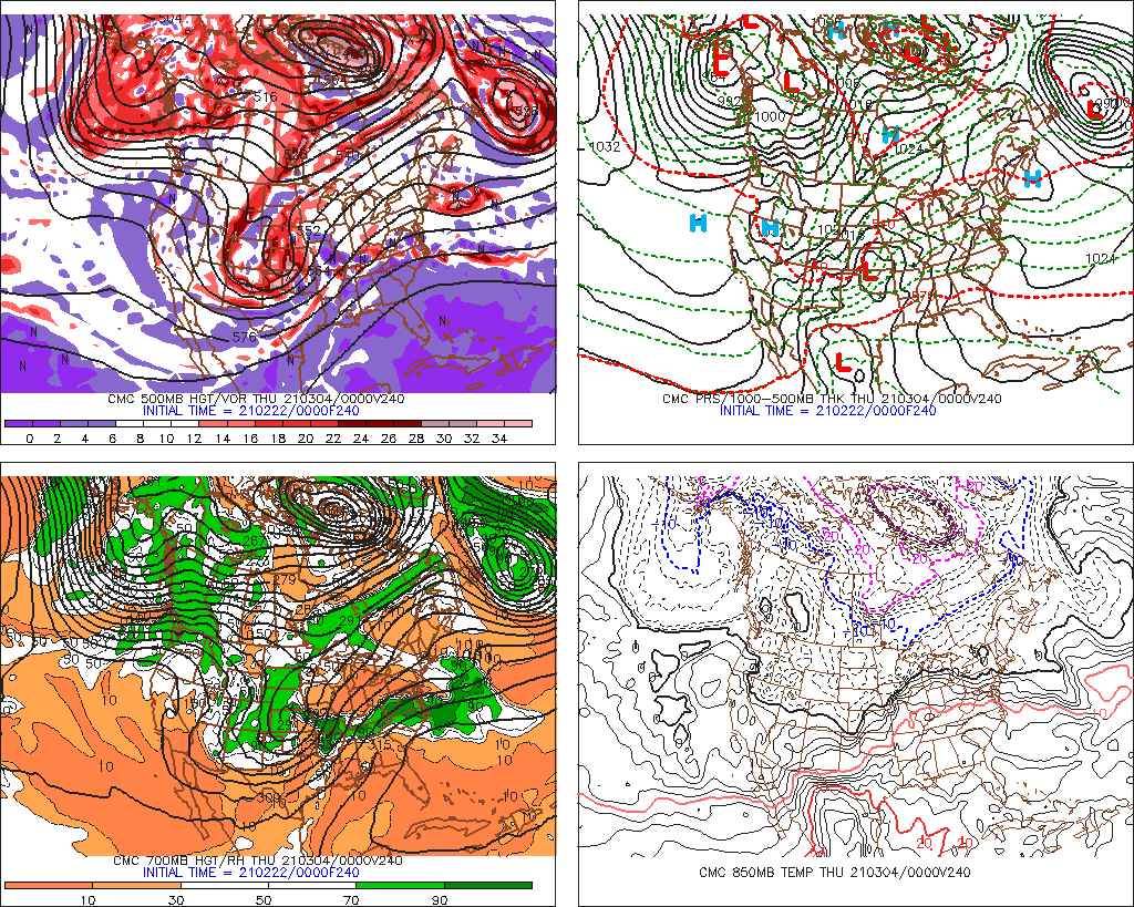
A tropical wave near 40 West Longitude in the eastern Atlantic has had some deeper convection develop around it during the overnight hours. This tropical wave definitely needs to be watched very closely as environmental conditions are expected to be favorable for development for at least the next several days. The only impediment that I see that may prevent this tropical wave from developing into a tropical cyclone is dry, dusty African air just ahead of it between 45 and 55 West Longitude. Even with that, I think this tropical wave will end up becoming our next named storm, Cindy.
The latest Canadian and European model guidance forecasts development into a tropical cyclone with the Canadian model forecasting a track into the Carolinas in about 9 to 10 days from now and the European model guidance forecasting a track into the Gulf of Mexico in about 10 days from now. The GFS model continues to forecast no development from this tropical wave and the NOGAPS model waits to develop this system until it is just east of the Bahamas next Wednesday.
Ok, my analysis is that this tropical wave is showing a good amount of rotation and contains quite a bit of moisture around it. I have a strong suspicion that this will develop into a tropical depression and a tropical storm by this weekend into early next week. Looking further out, the overall pattern for next week may feature a fairly strong and stout ridge of high pressure over the western Atlantic. If this pans out, then this tropical wave may pose a threat to the southeastern US coast or eastern Gulf of Mexico around the middle part of next week. This is just speculation right now and a lot can change with the upper level patterns over the next 7 to 10 days.
I will be monitoring this tropical wave very closely and will definitely keep you all updated on the latest"".
cycloneye wrote:From Crownweather services:
http://www.crownweather.com/?page_id=4557A tropical wave near 40 West Longitude in the eastern Atlantic has had some deeper convection develop around it during the overnight hours. This tropical wave definitely needs to be watched very closely as environmental conditions are expected to be favorable for development for at least the next several days. The only impediment that I see that may prevent this tropical wave from developing into a tropical cyclone is dry, dusty African air just ahead of it between 45 and 55 West Longitude. Even with that, I think this tropical wave will end up becoming our next named storm, Cindy.
The latest Canadian and European model guidance forecasts development into a tropical cyclone with the Canadian model forecasting a track into the Carolinas in about 9 to 10 days from now and the European model guidance forecasting a track into the Gulf of Mexico in about 10 days from now. The GFS model continues to forecast no development from this tropical wave and the NOGAPS model waits to develop this system until it is just east of the Bahamas next Wednesday.
Ok, my analysis is that this tropical wave is showing a good amount of rotation and contains quite a bit of moisture around it. I have a strong suspicion that this will develop into a tropical depression and a tropical storm by this weekend into early next week. Looking further out, the overall pattern for next week may feature a fairly strong and stout ridge of high pressure over the western Atlantic. If this pans out, then this tropical wave may pose a threat to the southeastern US coast or eastern Gulf of Mexico around the middle part of next week. This is just speculation right now and a lot can change with the upper level patterns over the next 7 to 10 days.
I will be monitoring this tropical wave very closely and will definitely keep you all updated on the latest"".
GCANE wrote:The strong water vapor north of the convection looks to me like it is protecting the wave from SAL.
Users browsing this forum: NotAHurricane and 56 guests

