Turtle wrote:What model has the best history with tracking tropical development ~10 days out? I know none are truly accurate, but is there one that is looked upon with more importance?
The Euro, imo.
Moderator: S2k Moderators


Turtle wrote:What model has the best history with tracking tropical development ~10 days out? I know none are truly accurate, but is there one that is looked upon with more importance?


Turtle wrote:What model has the best history with tracking tropical development ~10 days out? I know none are truly accurate, but is there one that is looked upon with more importance?

Blown Away wrote:ROCK wrote:224hr...I am a little behind....
Ok I'm tired and I need help, which one do I select to get this view?

The posts in this forum are NOT official forecast and should not be used as such. They are just the opinion of the poster and may or may not be backed by sound meteorological data. They are NOT endorsed by any professional institution or storm2k.org. For official information, please refer to the NHC and NWS products.


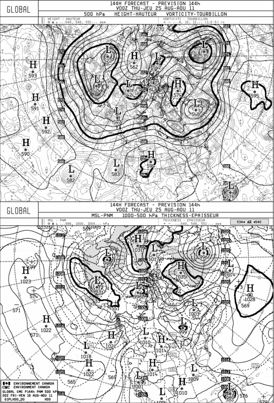
South Texas Storms wrote:0z CMC has a SC/Florida hit.
Ivanhater wrote:South Texas Storms wrote:0z CMC has a SC/Florida hit.
I don't think the long range is out yet. Last night's run showed that

South Texas Storms wrote:Ivanhater wrote:South Texas Storms wrote:0z CMC has a SC/Florida hit.
I don't think the long range is out yet. Last night's run showed that
I heard it and saw it in the Storm2k chatroom. I'm pretty sure it's tonight's run.
South Texas Storms wrote:0z CMC has a SC/Florida hit.


Users browsing this forum: No registered users and 6 guests


