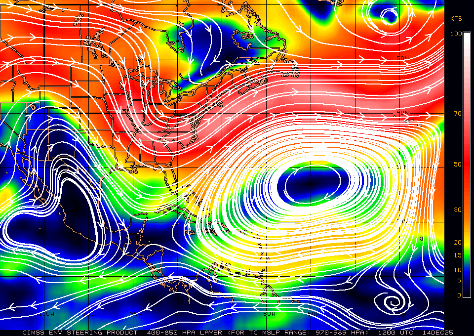
I wouldn't get too hung up on small details right now. Granted, small details may make a very significant impact on the effects that any given may experience, but we're still talking about a 5 day forecast on a strengthening (in the medium term, at least) hurricane that's going to recurve (probably not out to sea, but it's path will certainly turn clockwise with time). As I'm sure some of us know, there angle of approach may be very acute in this case, so minor fluctuations in the heading of the hurricane by day 5 may end up moving the landfall location hundreds of miles one way or another. I know it's occassionally fun to do play-by-play, fretting over every new graphic that comes out for every new model and new run, but it's probably not worth the added stress right now if you are living along the coast between Florida and Maine. It's easy for me to say that sitting in the middle of the continent, but it's true. Keep an eye on the models, begin to think about preliminary plans, but don't get too caught up on the minor trends or differences in a particular model and model run.
The trend over many models and many runs has certainly been eastward. You can see that in this loop of all GFS forecasts valid Friday morning -->
CLICK HERE.
Also, for those who may not follow tropical weather frequently, please remember that, when we speak of "ridges" or "ridging" in reference to steering currents (e.g. where will the tropical cyclone go?), you'll want to look at 300-500 mb height maps (for hurricanes) or 500-700 mb height maps (for weaker tropical cyclones). The loop I linked to above shows the surface pressure, which doesn't particularly affect the motion of a strong tropical cyclone like Irene. See
THIS LINK for current steering analysis using 400-850 mb winds, or click the 250-850 mb link at the top of that page (which will be more representative of the steering currents pretty soon as Irene continues to deepen).

There's also a nice example of a col to the NW of Irene right now. The axis of dilation lies NW-SE to the northwest of Irene.