Aric Dunn wrote:the 18z does have development?
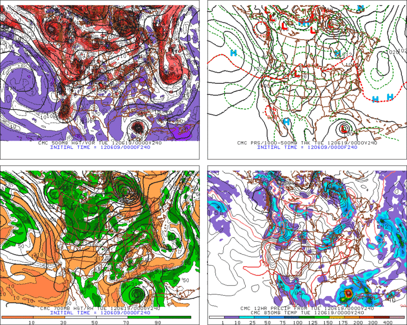
Has a weak low in southern Gulf on the 18th, moving across south FL and off the Carolinas by the 20th then out to sea. Peaks out at around 1005mb.
Moderator: S2k Moderators


Aric Dunn wrote:the 18z does have development?

wxman57 wrote:Aric Dunn wrote:the 18z does have development?
Has a weak low in southern Gulf on the 18th, moving across south FL and off the Carolinas by the 20th then out to sea. Peaks out at around 1005mb.


Aric Dunn wrote:the 18z does have development?
cycloneye wrote:Aric Dunn wrote:the 18z does have development?
Compared it with the 12z run that had a stronger system,the 18z has a wimpy.
Again, the pressure and storm depiction from the GFS can not be viewed as a storms true intensity. It just can not be done. I've never understood why people insist on using GFS model output as storm intensity. If whatever intensity the GFS was showing was the actual intensity of every storm the last 10 years then we've never had anything above a high end category 1 hurricane.wxman57 wrote:Aric Dunn wrote:the 18z does have development?
Has a weak low in southern Gulf on the 18th, moving across south FL and off the Carolinas by the 20th then out to sea. Peaks out at around 1005mb.


Ivanhater wrote:With the Euro and GFS on board in the long range, that is a good sign. Of course the GFS is going to go back and forth. Good signals something is going to get going.


MGC wrote:If this verifies the GFS will have picked up all three this season.....right?.......MGC


Users browsing this forum: No registered users and 50 guests

