This mornings discussion of what may occur this week in the BOC by Rob of Crown Weather.
The following post is NOT an official forecast and should not be used as such. It is just the opinion of the poster and may or may not be backed by sound meteorological data. It is NOT endorsed by any professional institution including storm2k.org. For Official Information please refer to the NHC and NWS products. http://www.crownweather.com/?page_id=4557 We Will Be Closely Watching The Western Gulf Of Mexico For Possible Tropical Development Later This Week Into Next Weekend
Sunday, June 17, 2012 9:10 am
by Rob Lightbown
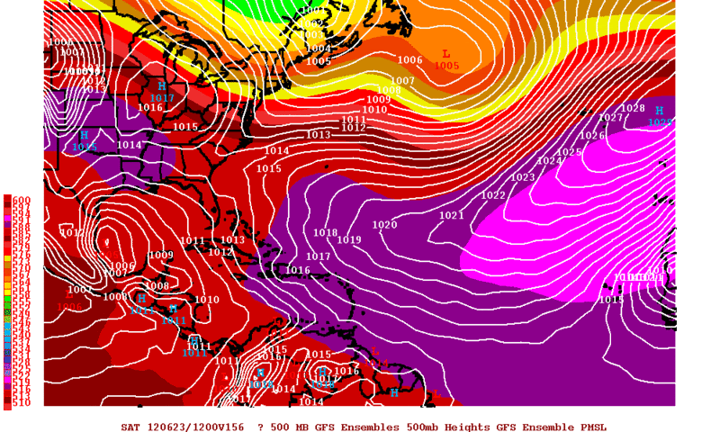
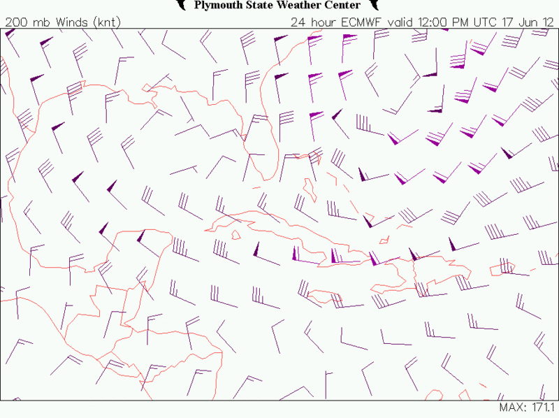
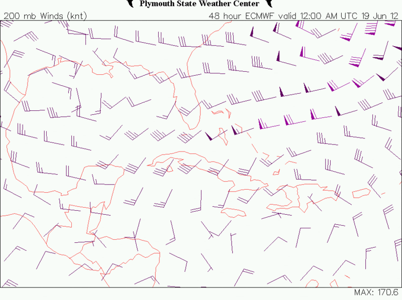
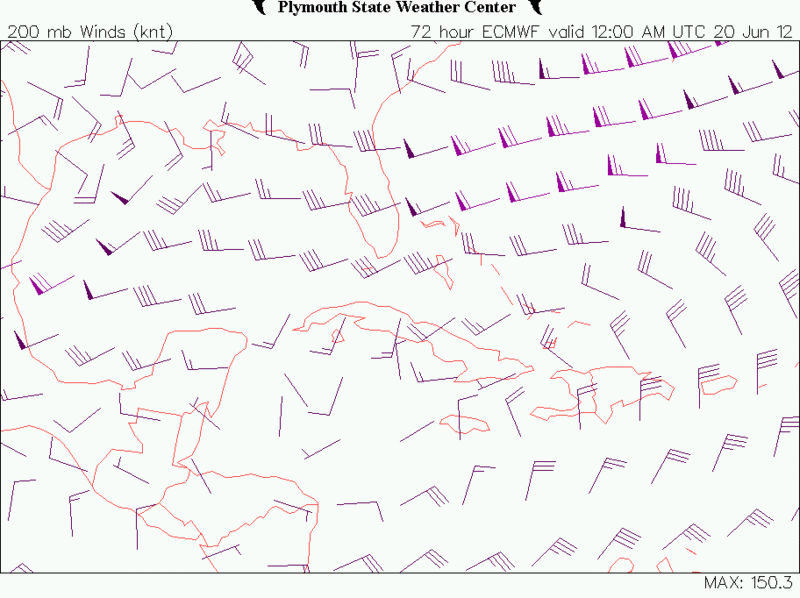
I wanted to update all of you on the chances for tropical development in the western Gulf of Mexico & Bay of Campeche later this week. As I have mentioned, the model guidance has been strongly hinting at the potential for tropical development in the Bay of Campeche during the Wednesday through Thursday timeframe.
Analysis this morning showed a monsoonal low pressure system over the southwestern Caribbean. This low pressure system is producing widespread shower and thunderstorm activity across much of the central & western Caribbean. The large complex of thunderstorms just southeast of Jamaica is likely being created by divergence from the low pressure system located to the south-southwest of Bermuda.
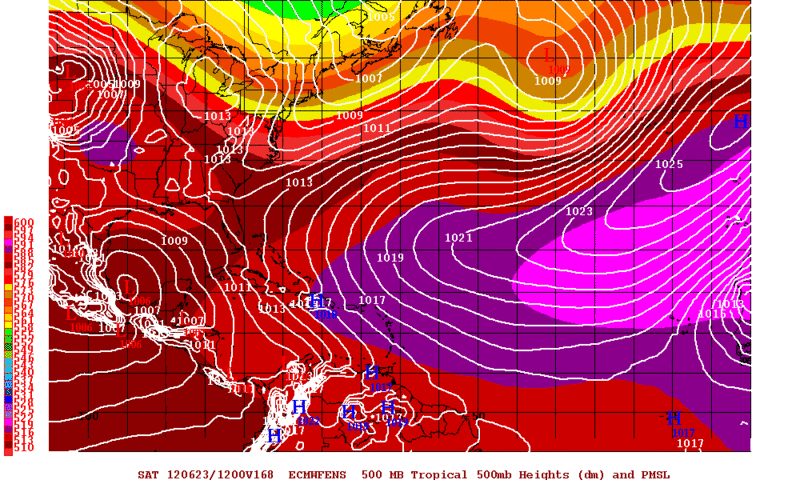
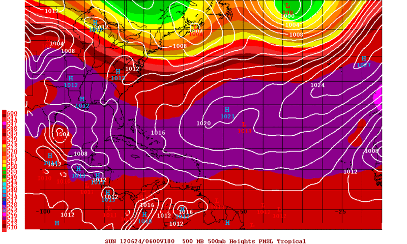
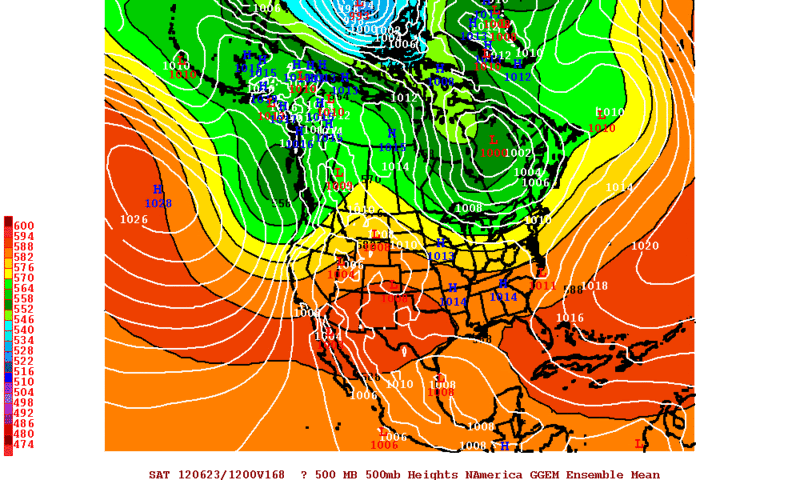
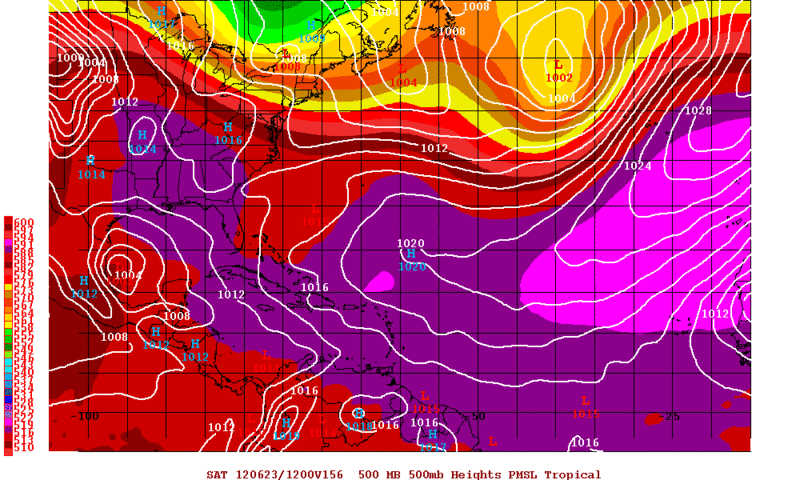
The forecast guidance generally are in agreement that a broad area of low pressure will develop during the Wednesday timeframe near Vera Cruz in the western part of the Bay of Campeche and then slowly track northward just offshore of Mexico’s east coast towards northeastern Mexico and south Texas by very late this week and into this weekend.
The GFS model does tighten up this storm enough to likely be classified as a tropical storm as it comes ashore just south of Brownsville next Sunday. The European model forecasts a very broad area of low pressure that sits over the central and western Gulf of Mexico from Friday to at least next Tuesday. The Canadian model is the extreme of all of the guidance and I am going to disregard it for now. The Canadian forecasts the development of a tropical cyclone in the southeastern Gulf of Mexico by Wednesday and forecasts it to track west-northwest and intensify through the rest of the week and into next weekend and forecasts it to be sitting just southeast of New Orleans by next Sunday morning. Again, I am not buying into this solution at this time as there is no evidence to support its forecast.
So, here is my thinking:
That large area of moisture that is now building in the western Caribbean will slowly push northward this week and the overall upper level pattern over North America and the western Atlantic favors the piling up of moisture and heat in the western Gulf of Mexico and I strongly believe that this will lead to first the development of a tropical disturbance in the Bay of Campeche between Wednesday and Thursday and then this disturbance strengthening into a tropical depression or a tropical storm in the Bay of Campeche or western Gulf of Mexico sometime next weekend.
Heavy Rain Potential: It should be noted that very heavy rain is likely along the Texas and Louisiana coastline between Wednesday and Sunday which will likely lead to flood issues.