ALERT
Yellow vigilance: heavy rains expected
France-Antilles Martinique 11.08.2012
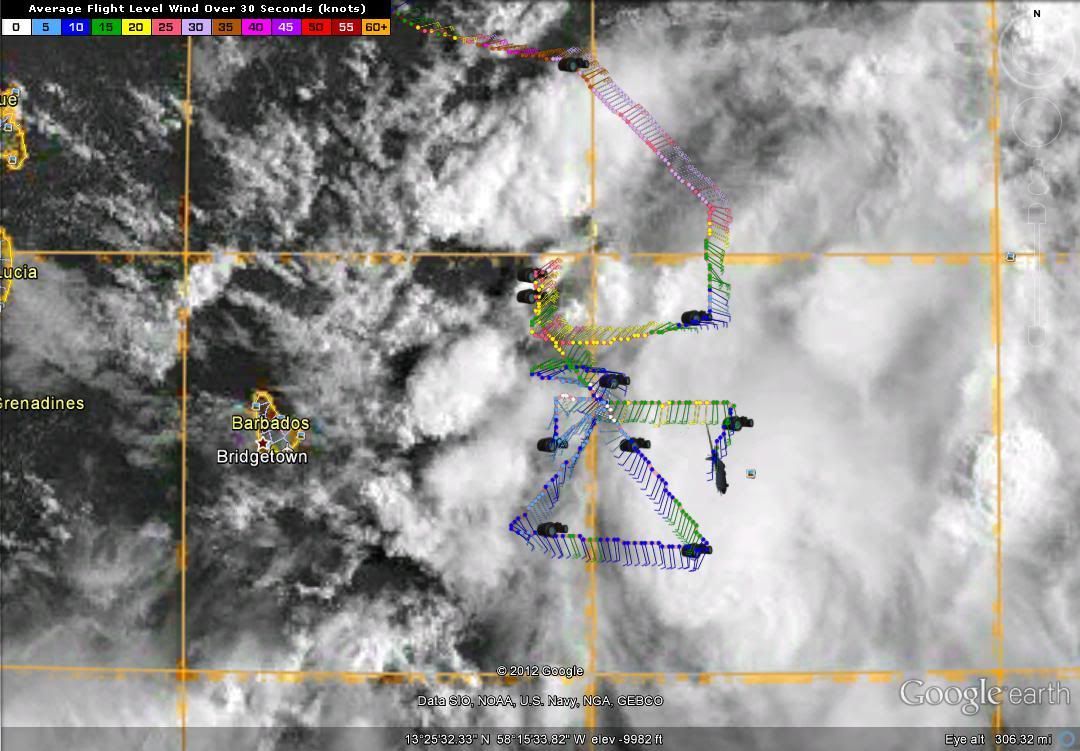
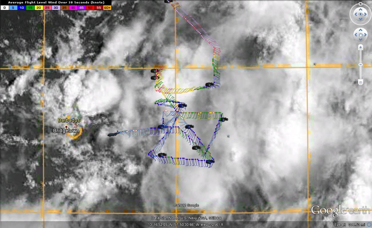
The phenomenon, which yesterday was 1000 miles east of Martinique should strengthen into a tropical storm on Saturday afternoon.
The seventh tropical depression of the season and, again, Martinique is found in yellow cyclone alert.
Yesterday evening, at 18 hours, despite some uncertainties on the intensity and the trajectory of the disturbance, weather-France indicated that, without being "a phenomenon of high intensity, precipitation may be locally significant.
According to the forecasts, the phenomenon, which lies 1,000 kilometres east of Martinique should strengthen into a tropical storm on Saturday afternoon. The weather should continue until midday and storm arrive on Martinique in the night of Saturday to Sunday.
The first stormy rains will address the Island early in the night and will continue during the day of Sunday. Major rollups of the order of 100 mm in 24 hours are considered. The wind which should begin to strengthen Saturday afternoon could reach 70 km/h of average in plain in the night with winds gusting to more than 100 km/h. On the heights, the average wind is expected to 90 km/h with gusts to 120 km/h.
The trough of 3 to 4 metres could be registered Atlantic side.
A gradual return to normal is envisaged from the night of Sunday to Monday.