HAS DISSIPATED AND IS NO LONGER CONSIDERED SUSPECT FOR DEVELOPMENT OF
A SIGNIFICANT TROPICAL CYCLONE WITHIN THE NEXT 24 HOURS.

Moderator: S2k Moderators


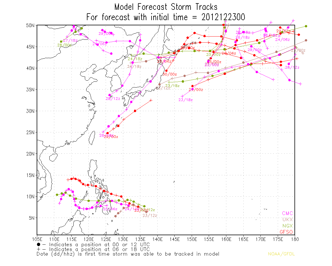
dexterlabio wrote:look at the latest satellite loops. if its center is within the cloud cover near Koror then I think it is starting to develop now. it has good convective banding to its north. i'm giving this until midnight to see if development will continue.


stormstrike wrote:
i don't think so... convection is still sheared from its center..

euro6208 wrote:
big burst of convection over palau...this is the most organized it's been throughout its life...
dexterlabio wrote:that burst of convection gives me the confirmation that the center of circulation is already near Palau. If that one is indeed a central dense overcast and the banding to its north would be maintained, i think this has a chance to be named. i just want to see if this development would be maintained or else it will remain as a disorganized mess,
Meow wrote:dexterlabio wrote:that burst of convection gives me the confirmation that the center of circulation is already near Palau. If that one is indeed a central dense overcast and the banding to its north would be maintained, i think this has a chance to be named. i just want to see if this development would be maintained or else it will remain as a disorganized mess,
64.8 km/h sustained eastward winds were observed in Korror, Palau. It means that 93W’s LLCC is located south of Palau, and 93W has tropical storm-force winds.


Users browsing this forum: No registered users and 132 guests