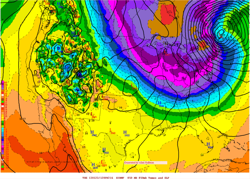
orangeblood wrote:Todays PNA forecasts on the operational runs of both the GFS and Euro are on the extreme end....their ensembles are much less aggressive with the PNA and so I'd expect the cold air to make it further west than currently depicted.
A lot of it will depend on the MJO, once it gets to 7 we want it to weaken as it moves through 8/1/2. If it stays strong in those phases, the PNA will spike if not (as you mention the ensembles) and it weakens or recurves to 6/7 we're good. Phases 1/2 favors the east coast
Also if anything the arctic attack we're seeing on the models isn't the "motherlode" so to speak. It's just a spoke of the Arctic high which still remains over the arctic even on the ECMWF/GFS. Supports the come in waves theory
 The posts in this forum are NOT official forecast and should not be used as such. They are just the opinion of the poster and may or may not be backed by sound meteorological data. They are NOT endorsed by any professional institution or


