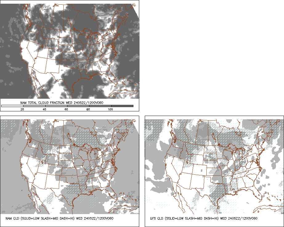
NDG wrote:Northjaxpro, I see that you may have lucked this morning from having frost but next week you may not be so lucky based that the models have been trending colder during the past 24 hrs.
Yeah, NDG the clouds that a couple of days ago I was hoping to stream in to the area indeed came to fruition. I was spared here with no frost and the low earlier today was 41.6 degrees. But, I am afraid I won't be as fortunate come Tuesday-Thursday of this upcoming week as models have trended colder, which I thought they would a couple of days ago. It is looking as if the normally colder spots, including my locale, are going to see temperatures approaching the freezing mark, especially Wednesday and Thursday of next week. The negative AO has tanked and we will really see the effects of this here after our stormy weekend.
Warm front currently across the central peninsula. Rain and storms are already firing along the warm front boundary just south of the I-4 corridor. This precip coverage will expand and lift northward overnight and should be in my region by late morning. Heavy rain and possible severe storms will be all across the northern peninsula tomorrow as the warm front lifts north right over the area. expecting 1-2 inch rainfall totals, but where the best convergence sets up, amounts of 3-5 inches are possible.
Sunday will see more storms fire up in advance of the cold front, which will move across the peninsula. So, will follow that closely. Very active weekend of weather, then the unseasonable cold to follow.


