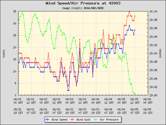
#454 Postby northjaxpro » Wed Jun 05, 2013 7:20 am
NDG wrote:tgenius wrote:Going back to the statement I made yesterday it sure appears like SFL will miss the majority of the weather associated with this compared to the doom and gloom that was forecasted for this week.

Except the Keys.
The problem was that the GFS a few days ago wanted to take the energy NE towards S FL too fast, instead the disturbance has been tracking more northward and slower to affect more central and northern FL.
Good morning NDG. Yes, this is a trend I noticed from early yesterday too and it does look more likely now and that area from I-4 corridor and points northward will see some significant rain and possible severe weather from this system. Certainly will be monitoring closely for sure.
0 likes
NEVER, EVER SAY NEVER in the tropics and weather in general, and most importantly, with life itself!!
________________________________________________________________________________________
Fay 2008 Beryl 2012 Debby 2012 Colin 2016 Hermine 2016 Julia 2016 Matthew 2016 Irma 2017 Dorian 2019


