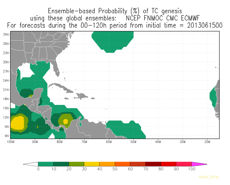
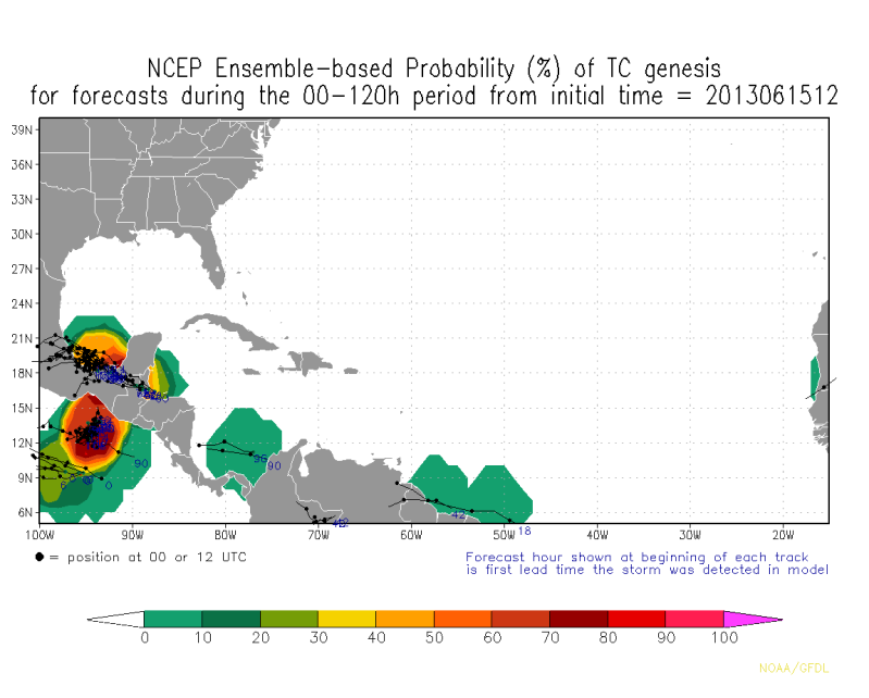
This is the beginning of what may be tropical cyclone genesis in the Bay of Campeche in four to five days or so. Not too interesting right now, just a combinating of a low-latitude tropical wave that emerged off Africa over a week ago and a piece of energy from the monsoon trough...drawn northward by the intense upper-level trough off the East Coast. The feature should track generally west-northwest, crossing Nicaragua into the Gulf of Honduras by Tuesday. The GFS remains consistent with a low developing in the Bay of Campeche upon emergence by Wednesday, but remains in disagreement with its runs on how far north the disturbance lifts once there. The 6z GFS depicts a low sufficiently north to allow for quick development into a minimal tropical storm, while the 12z GFS depicts a low too close to the coastline of Mexico for ample development. With a [weak] weakness expected to trail into the Gulf States as the disturbance is entering, my thoughts are that it may move ever so slightly northward before the high pressure across the Southwest moves northeast and blocks any more movement north.
I'd give the system a 40% chance of ever developing, lower mainly because the lack of model consensus (CMC keeps it straight west, which seems iffy; ECMWF keeps it very near the coastline of Mexico in the BOC), but also due to questions about the low in proximity to land.


