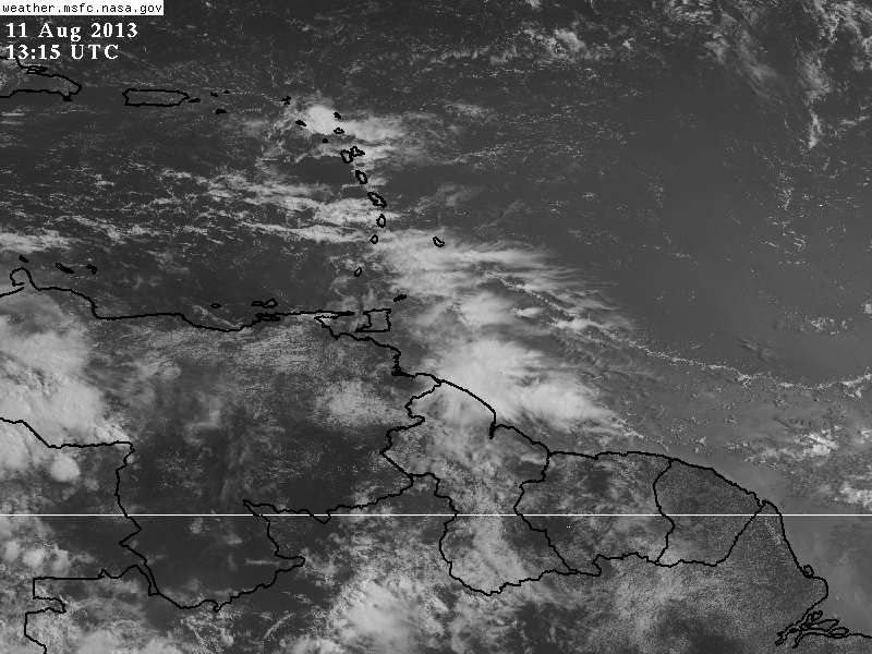
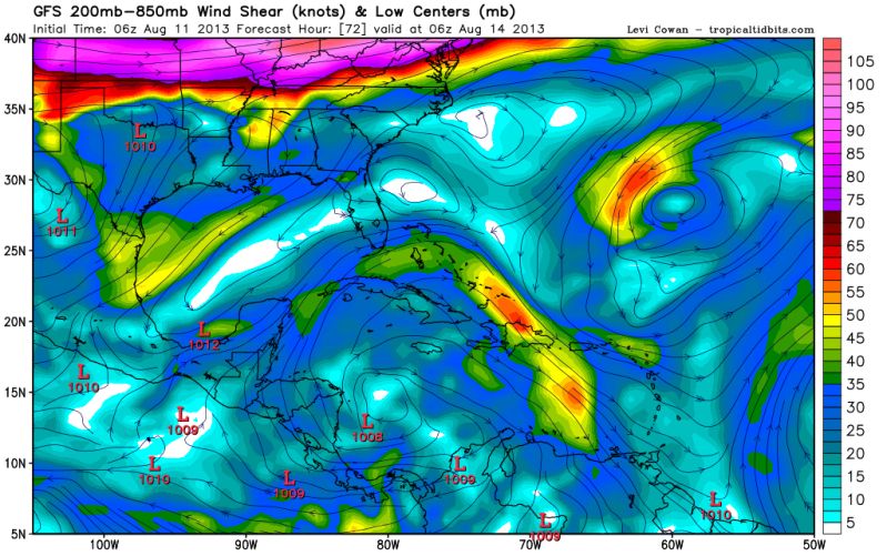
Here is a piece of this mornings long term forecast discussion from our local nws which will help with where this phantom storm might go IF it were to develop

Dont know how good conditions will be towards end of next week. Sounds like there could be a lot if shear to contend with as well. Anybody have a 5-7 day shear forecast map? Might be one our famous sheared gulf messes.
LONG TERM...MEDIUM RANGE MDLS CONTINUE TO REMAIN IN GENERAL
AGREEMENT WITH AN ACTIVE PATTERN SETTING UP. THE PATTERN SHIFT WILL
HAVE ALREADY OCCURRED BY WED AND ONCE AGAIN WE LOOK TO MOVE INTO A
DEEP ERN CONUS TROUGH WHICH HAD DOMINATED MUCH OF THE SUMMER UNTIL
RECENTLY.
HEADING INTO WED AND THE BACK HALF OF THE WORK WEEK RAIN CHANCES
WILL CONTINUE TO BE RATHER HIGH. THE BNDRY THAT HAS REMAINED WELL
OFF TO OUR NORTH THAT WAS ASSOCIATED WITH NORTH ARKANSAS FLOODING
RAIN WILL GET A SURGE TO THE SOUTH UNDER NW FLOW WITH THE TROUGH
DEEPENING OVER THE ERN CONUS. THE FRONT WILL ARRIVE INTO THE CWA THU
AND FRI AND SHOULD CONTINUE TO SLOWLY WINK TO THE SOUTH. THIS WILL
LEAD TO ABV NORMAL RAIN CHANCES ALONG WITH SLIGHTLY BELOW NORMAL
TEMPS. HAVE CONTINUED THE TREND TO INCREASE POPS IN THE EXTENDED AND
WILL SHOW 40-60% THROUGH THE END OF THE WORK WEEK.


