
Latest update showing substantial warming for next few months. Here is the May, June, July forecast.
Classic El Nino.
Moderator: S2k Moderators


euro6208 wrote:http://i.imgur.com/9HPyDTW.gif
Latest update showing substantial warming for next few months. Here is the May, June, July forecast.
Classic El Nino.
 . i would also assume with last season being so dead that this strong el nino will signal the end of the active period of 1995-2009.
ninel conde wrote:euro6208 wrote:http://i.imgur.com/9HPyDTW.gif
Latest update showing substantial warming for next few months. Here is the May, June, July forecast.
Classic El Nino.
if that occurs along with the incredibly stable atlantic and ultra dry air we may be looking at 3/1/0


ninel conde wrote:i would also assume with last season being so dead that this strong el nino will signal the end of the active period of 1995-2009.
TropicalAnalystwx13 wrote:An eastward-propagating upwelling kelvin wave has destroyed the warm anomalies in the central Pacific, and it's headed eastward. No El Nino in the foreseeable future.
blp wrote:
3/1/0 would be almost impossible in this modern satellite era IMO. Even in the worst of years you have subtropical development that will keep the numbers higher.
Also, how did you determine that the active era ended in 2009? The multidecadel higher than normal SST's was still in place last year. That has not changed since 1995 and a very important indicator.

blp wrote:Hard to tell right now how the ENSO will play out. Before the 2009 El Nino event we had -0.8 DJF , -0.7 JFM, -0.5 FMA, -0.2 MAM readings. I remember that year there was a lot of talk around this time of if the El Nino would appear. So we probably won't know for sure till May.
cycloneye wrote:Here is a very interesting articule that talks about Extreme El Nino's to double in the future. Let's see if these predictions come to fruictition or not.
Ntxw wrote:cycloneye wrote:Here is a very interesting articule that talks about Extreme El Nino's to double in the future. Let's see if these predictions come to fruictition or not.
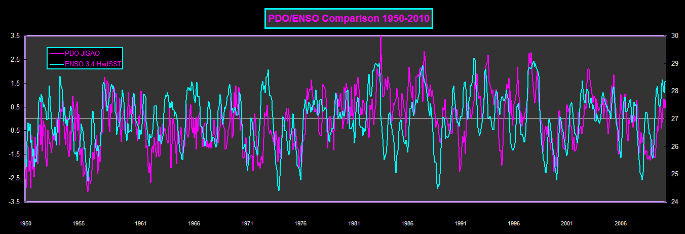
It may be true in the future, but for now it sure is not. Since 2005 there have only been 2 El Nino's and 5 La Ninas, it's pretty clear the PDO dictates this.


Users browsing this forum: No registered users and 125 guests


