#8263 Postby northjaxpro » Wed Jan 22, 2014 8:44 am
Bottomed out at 30.4 degrees at my home this morning. Cold advection continues today and with High pressure axis building in over the area from the west, max temps expected only in the upper 40s.
Tonight, winds will become light to calm in my areas with the cold modifed Arctic High positioned over the peninsula. We will see ideal radiational cooling conditions statewide tonight. It will be colder statewide tonight and hard freeze conditions appear likely across the northern peninsula tonight. Temps will get down into the low-mid 20s across the Big Bend and Suwannee River Valley to the mid-upper 20s across Northeast Florida by sunrise tomorrow morning.
Looks as if the freeze line will get deep into the central peninsula tomorrow morning as temps will get right at the freeze mark or even slighly below it. Ocala and Brooksville may see readings in the upper 20s, as well as other spots along the Nature Coast as well. Also, areas on the Space Coast from Titusville to Vero Beach will see temps get close to freezing by early tomorrow morning. Also, with ideal radiational cooling conditions, there will be areas where frost will settle as well.
South Florida is looking at temps mainly in the low-mid 40s by tomorrow morning, but areas in interior southern peninsula and just north and west of Lake Okeechobee may see temps in the mid-upper 30s.
A very brief warm-up on Thursday as weak warm air advection will occur ahead of the next arctic dry front, which will come through the North Florida area late Thursday afternoon and the southern peninsula on early Friday. Models are progging a very strong 1048 mb Arctic High dome to sink south from the Plains all the way to Lower Mississippi Valley region by late Friday afternoon. Friday looks to be a very cold day across North Florida as current guidance are progging highs only to reach the low-mid 40s with strong CAA and brisk northerly winds. This will bring in more polar air into the peninsula, with freezes expected across North Florida on both Friday and Saturday mornings.
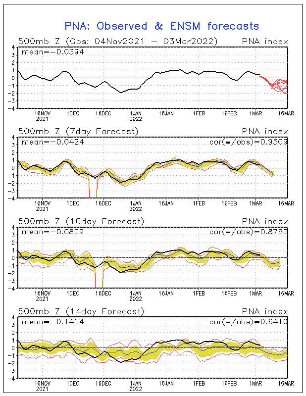
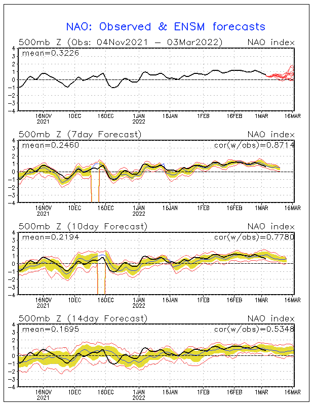
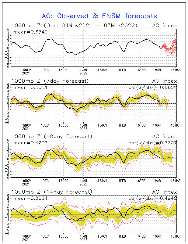
The broken record scenario looks to continue long range as models appears to keep this pattern in place into the first week of February as the large upper level trough is well entrenched across the Eastern 2/3 of the CONUS and stout ridging continues across the EPAC and Western U.S. This pattern will continue with delivering cold fronts every 2- 3 days or so with each bringing shots or pieces of modified polar airmasses to the Deep South and most of the Florida peninsula. The downside to this pattern, other than the cold, is that the northwest flow aloft is shutting off the GOM, which keeps these fronts coming through the area moisture starved.
0 likes
NEVER, EVER SAY NEVER in the tropics and weather in general, and most importantly, with life itself!!
________________________________________________________________________________________
Fay 2008 Beryl 2012 Debby 2012 Colin 2016 Hermine 2016 Julia 2016 Matthew 2016 Irma 2017 Dorian 2019


