SST’s look quite warm. Nino 3 is near El Nino threshold and has the most correlation statistically with the EPAC.
Here’s a graph to show everyone:

Some 27C waters in the GOC and 26C up to around the GOC and are close to engulfing Cabo San Lucas. In May!!!
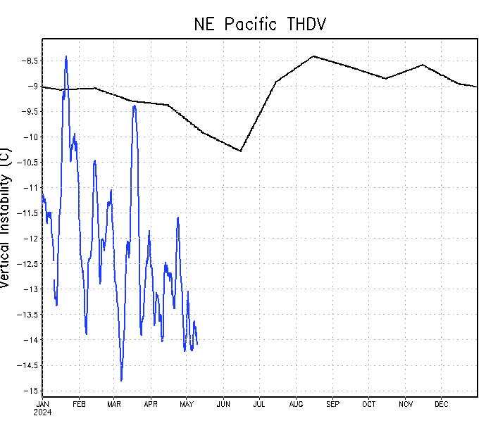
Vertical instability looks a bit above normal in all. Was below normal at that start, above normal for late Jan, crashed in Feb, went up again in March, and has remained up in April. Goodbye 2013 conditions.

Here's 2011 instability graph for comparisons sake. Easy to see why it had so many intense storms. Interesting to note that vertical instability is the lowest statistically in June and July, so before the peak. Not that shocking given the lack of fronts in the basin at that time and the EPAC yet to be in full gear.

Now, I have a doozy for you. 2013, which was extremely below normal even with MJO here in late June, before becoming a bit above normal for the heart of the season (maybe due to the usually northerly ITCZ). In September, vertical instability went down big time (hence explaining all the epic dry air noted after Manuel). Now, that's interesting. IMO Instability wasn't the main killer were just lucky to escape without a major until the end of Octobers. Rather, I think that storms tracks and location of ITCZ (hint: lack of Atlantic nino) prevented the storms from moving WNW, and instead parallel the coast and hence be closer to coolers SST's. This has been a known killer of all seasons since 1995, and was quite worse in 2013.

2009 was way above normal, yet it got to 20 storms with a semi-low ACE. Another guess was due to the developing El Nino, there were a large number of majors due to high oceanic heat, which was conductive for rapid intensification. I wonder why it got a lot of weak TS's. NHC theorized in it's MWR that it could be storm tracks and the Modoki, which is possible.

2006 was fairly above normal, so no shellshock.
There is also NAO, which apparently has some impact on landfalls (though by looking at the data, but I honestly don’t know much about NAO and its effects on the EPAC. In March 2014, NAO was positive: “2014 3 0.44”. As of landfalls, during El Nino years, more hurricanes make landfall than normal, but tropical storms seem to be about average, if not below average. I can’t find an El Nino that had a “landfall” pattern. In fact, I’ll give you 5 years where landfalls were common by EPAC standards: 1971, 1981, 1996, 2003, and 2013. Guess what happened after the first 3? Yes, a super El Nino. 2004 did not have anything more than a weak El Nino though. But ill mention something about major landfalls: They tend to be El Nino hotspots. Let’s take a look at all recent MH landfalls: 1957, 1959, 1976, 1983, 1992, 2002, 2006). Yes, there are often in El Nino’s as well.
I really struggle to find any true negative factors about the season. Even if the El Nino busts, which is highly unlikely, we have PDO to fall back on. And even then, all the main ingredients are there even aside from ENSO/PDO. I’ve already talked about El Nino, PDO, and wind shear and their respective effects on the season.
I want to try to be conservative, but I can’t help being excited.


