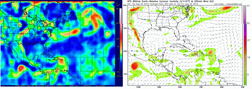
chaser1 wrote:blp wrote:We try to look at the other models, but the reality usually sets in that these two models are in another league. They have withstood the test of time. Once they bite onto something together and you get a few consistent runs forget about it, they don't lose.
The Ukmet is going to end up busting pretty good now but I will give it credit on the cyclogensis which it was first to pick up on.
Yeah, I was dead sure this system was forming and moving south of "the rock". Was thinking the UK was on to something because it was at least south of the other models and the trough was simply being "over-played". Furthermore, earlier on it just seemed obvious that we were simply going to see a predominance of higher latitude storms this season, especially off the S.E. US coastline and here we go. For as good as 96L looked well east of the Southern Windwards, I should have known that the MDR was still suffering from the "2013 Flu" LOL. I suppose some vindication of forecast would come from a southern end of the present wave to break off and develop in the NW Caribbean heading to the N. Gulf Coast, but that would truly be unexpected at this point. Oh well.."Forecast FAIL" on my part
Come on now. No one knows for sure about any of what you just posted. The posts here have been all over the place for the last 24 hours--as have the models.


