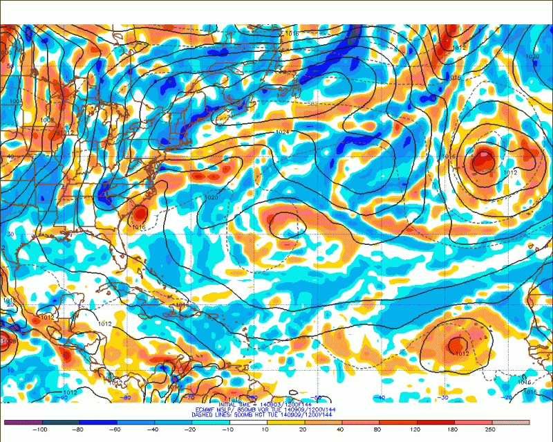
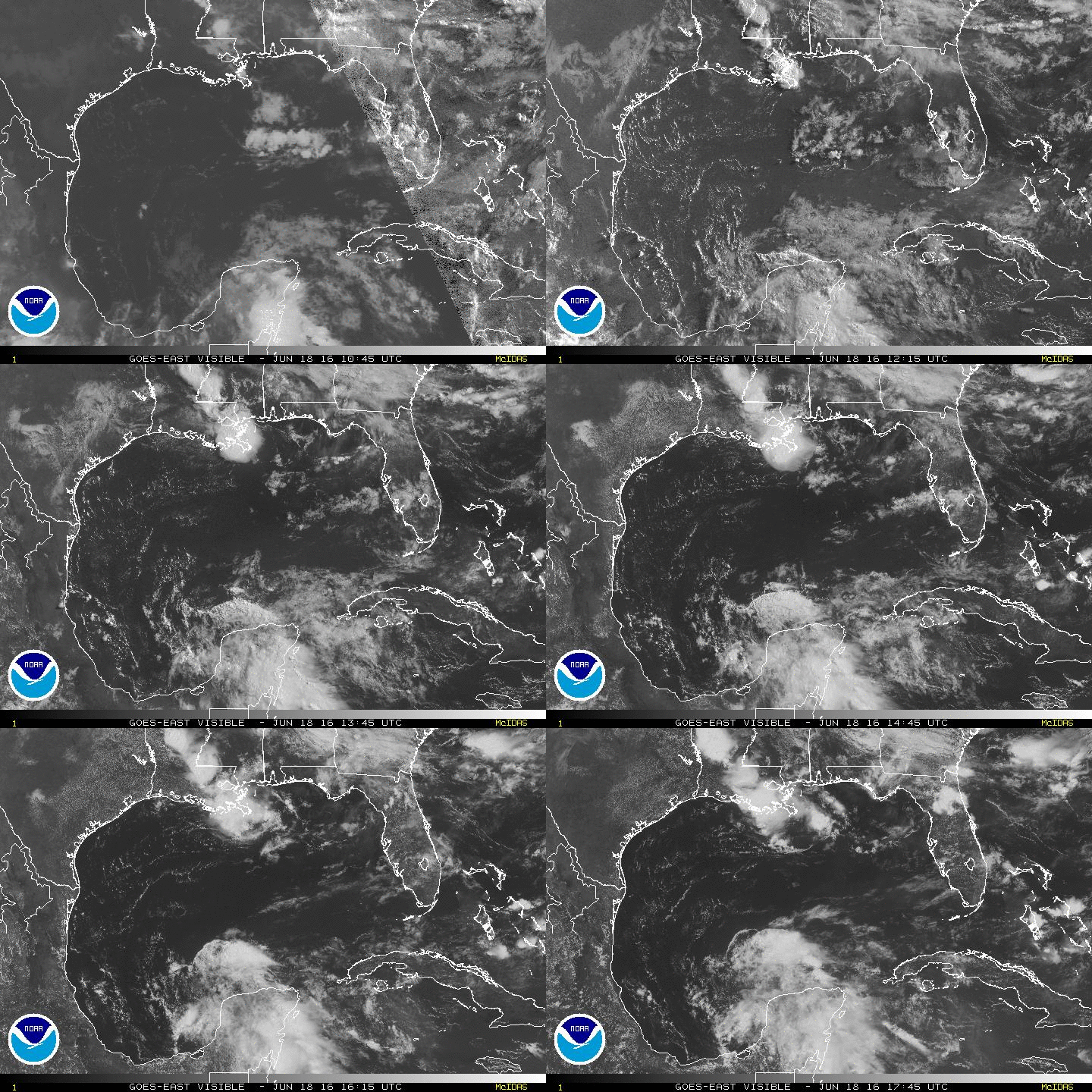
HurricaneBelle wrote: This 2011 system never was classified in post-season analysis, was it?
Nope.
Here is what they wrote about that system....
Here are NHC's working definitions that were applied:
Tropical Cyclone - A warm-core non-frontal synoptic-scale cyclone, originating over tropical or subtropical waters, with organized deep convection and a closed surface wind circulation about a well-defined center. Once formed, a tropical cyclone is maintained by the extraction of heat energy from the ocean at high temperature and heat export at the low temperatures of the upper troposphere. In this they differ from extratropical cyclones, which derive their energy from horizontal temperature contrasts in the atmosphere (baroclinic effects).
Subtropical Cyclone - A non-frontal low-pressure system that has characteristics of both tropical and extratropical cyclones. Like tropical cyclones, they are non-frontal, synoptic-scale cyclones that originate over tropical or subtropical waters, and have a closed surface wind circulation about a well-defined center. In addition, they have organized moderate to deep convection, but lack a central dense overcast. Unlike tropical cyclones, subtropical cyclones derive a significant proportion of their energy from baroclinic sources, and are generally cold-core in the upper troposphere, often being associated with an upper-level low or trough. In comparison to tropical cyclones, these systems generally have a radius of maximum winds occurring relatively far from the center (usually greater than 60 n mi), and generally have a less symmetric wind field and distribution of convection
The October cyclone was difficult to classify, consisting of a small area of very strong (~50 kt sustained) winds embedded within a much broader environment of low pressure that was itself producing gale/tropical-storm-force winds, at least early on. The inner system possessed some of the essential characteristics of a tropical storm: it had sustained winds in excess of 34 kt, it had a well-defined center of circulation, it had a warm core, at least in the lower troposphere, and the low center itself did not lie along any frontal boundaries, at least at the time the center moved onshore. In particular, the strength, distribution, and impacts of the winds near the center of this system were indistinguishable from many other small tropical storms.
Other attributes of the system, however, argued against its classification as a tropical storm. The system's convection near the core was intermittent and of short duration, and was considered too transient to satisfy the definition's organized deep convection requirement. The transient nature of the strong inner core circulation itself also cast doubt as to whether it could be considered of synoptic scale. The vertical extent of the cyclonic circulation was limited to below about 12,000 ft, very uncharacteristic of a tropical cyclone of this strength.
We also considered whether the system should be classified as a subtropical cyclone. There were clearly mixed characteristics of extratropical and tropical cyclones present, including the presence nearby of an upper-level cold low, and the large-scale distribution of winds and convection. However, there was enough air mass contrast associated with the system to raise doubts as to whether it was truly non-frontal. The very small radius of maximum winds and occasional convection very near the center also made the system difficult to classify as a subtropical cyclone.
Nature does not always cooperate with the classification systems designed by man. There is a continuum of cyclone types in the real atmosphere, and it is often difficult to place these systems into the small number of bins that meteorologists have created for them. The 9-10 October Florida system is certainly one of these difficult cyclones. NHC’s historical record, however, requires its members to belong to either the “tropical” or “subtropical” bins, and our view in this case is that neither applies. It is simply “something else”.


